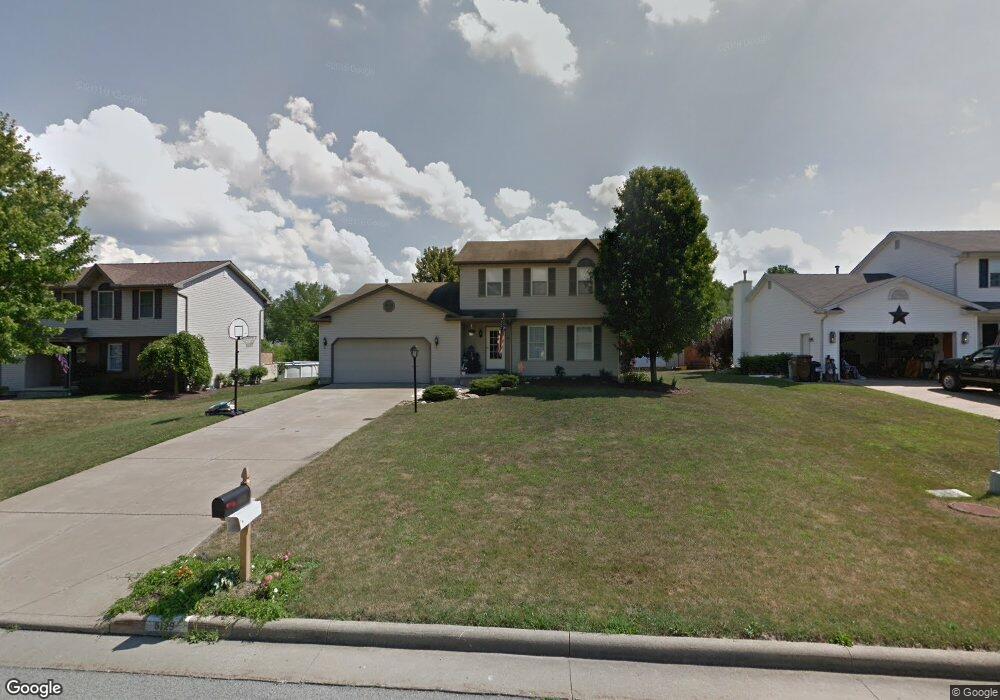
5129 Pine Shadow Ct Mineral Ridge, OH 44440
Austintown NeighborhoodEstimated Value: $201,000 - $257,000
3
Beds
2
Baths
1,569
Sq Ft
$151/Sq Ft
Est. Value
About This Home
This home is located at 5129 Pine Shadow Ct, Mineral Ridge, OH 44440 and is currently estimated at $237,141, approximately $151 per square foot. 5129 Pine Shadow Ct is a home located in Mahoning County with nearby schools including Austintown Elementary School, Austintown Intermediate School, and Austintown Middle School.
Ownership History
Date
Name
Owned For
Owner Type
Purchase Details
Closed on
May 24, 2004
Sold by
Ward James M
Bought by
Ward Michelle A
Current Estimated Value
Purchase Details
Closed on
May 20, 1996
Sold by
R S M
Bought by
Brown Jennifer J
Home Financials for this Owner
Home Financials are based on the most recent Mortgage that was taken out on this home.
Original Mortgage
$90,000
Interest Rate
5.5%
Mortgage Type
New Conventional
Create a Home Valuation Report for This Property
The Home Valuation Report is an in-depth analysis detailing your home's value as well as a comparison with similar homes in the area
Home Values in the Area
Average Home Value in this Area
Purchase History
| Date | Buyer | Sale Price | Title Company |
|---|---|---|---|
| Ward Michelle A | -- | -- | |
| Brown Jennifer J | $18,000 | -- |
Source: Public Records
Mortgage History
| Date | Status | Borrower | Loan Amount |
|---|---|---|---|
| Previous Owner | Brown Jennifer J | $90,000 |
Source: Public Records
Tax History Compared to Growth
Tax History
| Year | Tax Paid | Tax Assessment Tax Assessment Total Assessment is a certain percentage of the fair market value that is determined by local assessors to be the total taxable value of land and additions on the property. | Land | Improvement |
|---|---|---|---|---|
| 2024 | $3,193 | $69,710 | $6,240 | $63,470 |
| 2023 | $3,143 | $69,710 | $6,240 | $63,470 |
| 2022 | $2,808 | $49,930 | $6,240 | $43,690 |
| 2021 | $2,809 | $49,930 | $6,240 | $43,690 |
| 2020 | $2,821 | $49,930 | $6,240 | $43,690 |
| 2019 | $2,764 | $44,570 | $6,240 | $38,330 |
| 2018 | $2,659 | $44,570 | $6,240 | $38,330 |
| 2017 | $2,589 | $44,570 | $6,240 | $38,330 |
| 2016 | $2,523 | $41,950 | $6,240 | $35,710 |
| 2015 | $2,446 | $41,950 | $6,240 | $35,710 |
| 2014 | $2,457 | $41,950 | $6,240 | $35,710 |
| 2013 | $2,431 | $41,950 | $6,240 | $35,710 |
Source: Public Records
Map
Nearby Homes
- 1239 Woodledge Dr
- 5085 Winslow Dr
- 1760 Dumont Dr
- 0 W Webb Rd
- 1467 E County Line Rd
- 21 E Liberty St
- 1445 E County Line Rd
- 1684 Morris St
- 3872 Main St
- 645 Carlin Dr
- 3907 Edwards St
- 3579 Bee St
- 6360 Meander Glen Dr
- 6393 Meander Glen Dr
- 5231 W Rockwell Rd
- 176 N Canfield Niles Rd
- 3474 S Main St
- 159 N Canfield Niles Rd
- 236 Charlestown Place
- 5560 Norquest Blvd
- 5137 Pine Shadow Ct
- 5121 Pine Shadow Ct
- 5113 Pine Shadow Ct
- 5145 Pine Shadow Ct
- 5142 Cherrywood Ct
- 5126 Pine Shadow Ct
- 5134 Pine Shadow Ct
- 5118 Pine Shadow Ct
- 5142 Pine Shadow Ct
- 5103 Pine Shadow Ct
- 5150 Cherrywood Ct
- 1225 Cedarwood Dr
- 5130 Cherrywood Ct
- 5110 Pine Shadow Ct
- 5150 Pine Shadow Ct
- 1215 Cedarwood Dr
- 5137 Winslow Dr
- 5141 Winslow Dr
- 5102 Pine Shadow Ct
- 5095 Pine Shadow Ct