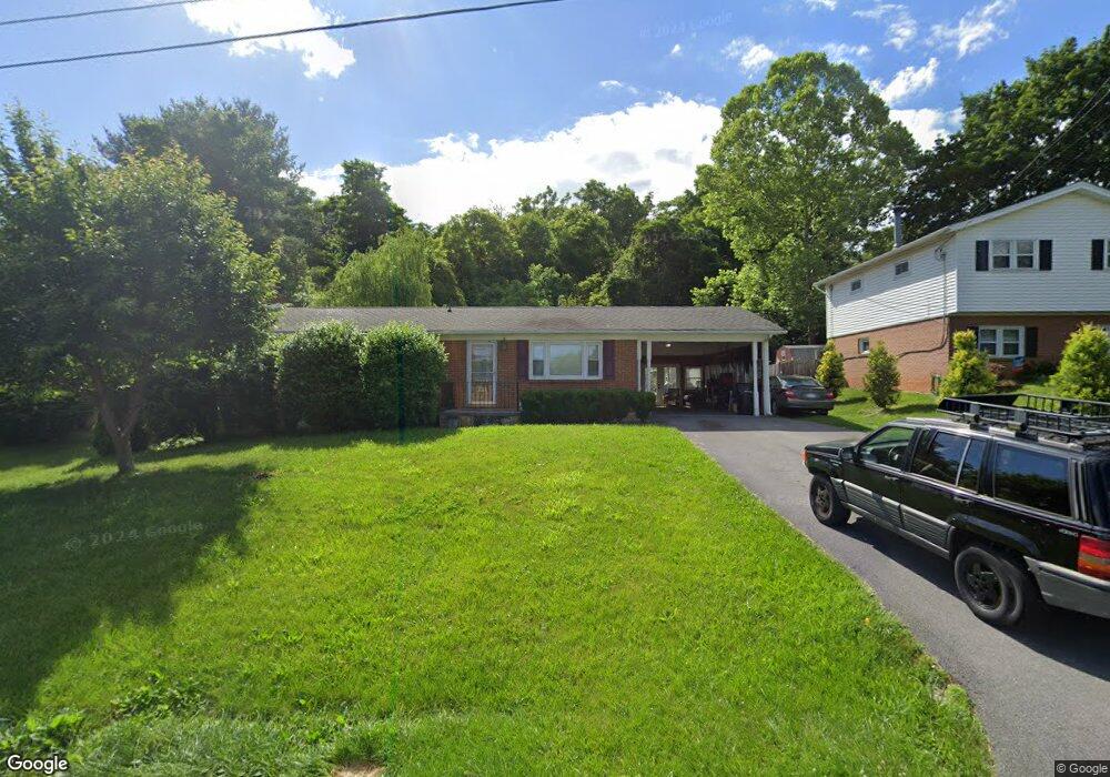
513 Whitacre St Winchester, VA 22601
Estimated Value: $378,000 - $424,000
3
Beds
2
Baths
1,988
Sq Ft
$202/Sq Ft
Est. Value
About This Home
This home is located at 513 Whitacre St, Winchester, VA 22601 and is currently estimated at $402,329, approximately $202 per square foot. 513 Whitacre St is a home located in Winchester City with nearby schools including Daniel Morgan Middle School, John Handley High School, and Sacred Heart Academy.
Ownership History
Date
Name
Owned For
Owner Type
Purchase Details
Closed on
Oct 20, 2016
Sold by
Dm Holding Group Llc
Bought by
513 Whitacre Llc
Current Estimated Value
Purchase Details
Closed on
Oct 7, 2010
Sold by
Brewer Paul and Brewer Ray
Bought by
Newlin Eugene A and Newlin Nancy L
Home Financials for this Owner
Home Financials are based on the most recent Mortgage that was taken out on this home.
Original Mortgage
$25,000
Interest Rate
4.36%
Mortgage Type
Credit Line Revolving
Create a Home Valuation Report for This Property
The Home Valuation Report is an in-depth analysis detailing your home's value as well as a comparison with similar homes in the area
Home Values in the Area
Average Home Value in this Area
Purchase History
| Date | Buyer | Sale Price | Title Company |
|---|---|---|---|
| 513 Whitacre Llc | -- | None Available | |
| Newlin Eugene A | $180,000 | Rgs Title Llc |
Source: Public Records
Mortgage History
| Date | Status | Borrower | Loan Amount |
|---|---|---|---|
| Previous Owner | Newlin Eugene A | $25,000 |
Source: Public Records
Tax History Compared to Growth
Tax History
| Year | Tax Paid | Tax Assessment Tax Assessment Total Assessment is a certain percentage of the fair market value that is determined by local assessors to be the total taxable value of land and additions on the property. | Land | Improvement |
|---|---|---|---|---|
| 2025 | $2,907 | $365,600 | $80,000 | $285,600 |
| 2024 | $2,708 | $326,300 | $80,000 | $246,300 |
| 2023 | $2,708 | $326,300 | $80,000 | $246,300 |
| 2022 | $2,241 | $241,000 | $80,000 | $161,000 |
| 2021 | $2,241 | $241,000 | $80,000 | $161,000 |
| 2020 | $2,119 | $227,800 | $80,000 | $147,800 |
| 2019 | $2,119 | $227,800 | $80,000 | $147,800 |
| 2018 | $2,007 | $220,500 | $80,000 | $140,500 |
| 2017 | $1,740 | $220,500 | $80,000 | $140,500 |
| 2016 | $1,740 | $191,200 | $80,000 | $111,200 |
| 2015 | $1,740 | $191,200 | $80,000 | $111,200 |
| 2014 | $1,816 | $191,200 | $80,000 | $111,200 |
Source: Public Records
Map
Nearby Homes
- 312 Fox Dr
- 225 Fox Dr
- 792 Fox Dr
- 1625 Amherst St
- 1814 Blythe Way
- 1810 Blythe Way
- 1819 Reese Ct
- 1802 Blythe Way
- 1822 Blythe Way
- 1818 Blythe Way
- 1243 N Frederick Pike
- 1667 N Frederick Pike
- 1721 Amherst St
- 0 N Frederick Pike Unit VAWI2007698
- 0 N Frederick Pike Unit VAFV2038096
- Lot 84 Purcell Ln
- 801 Fairmont Ave
- 506 Fairmont Ave
- 117 W Oates Ave
- 105 W Oates Ave