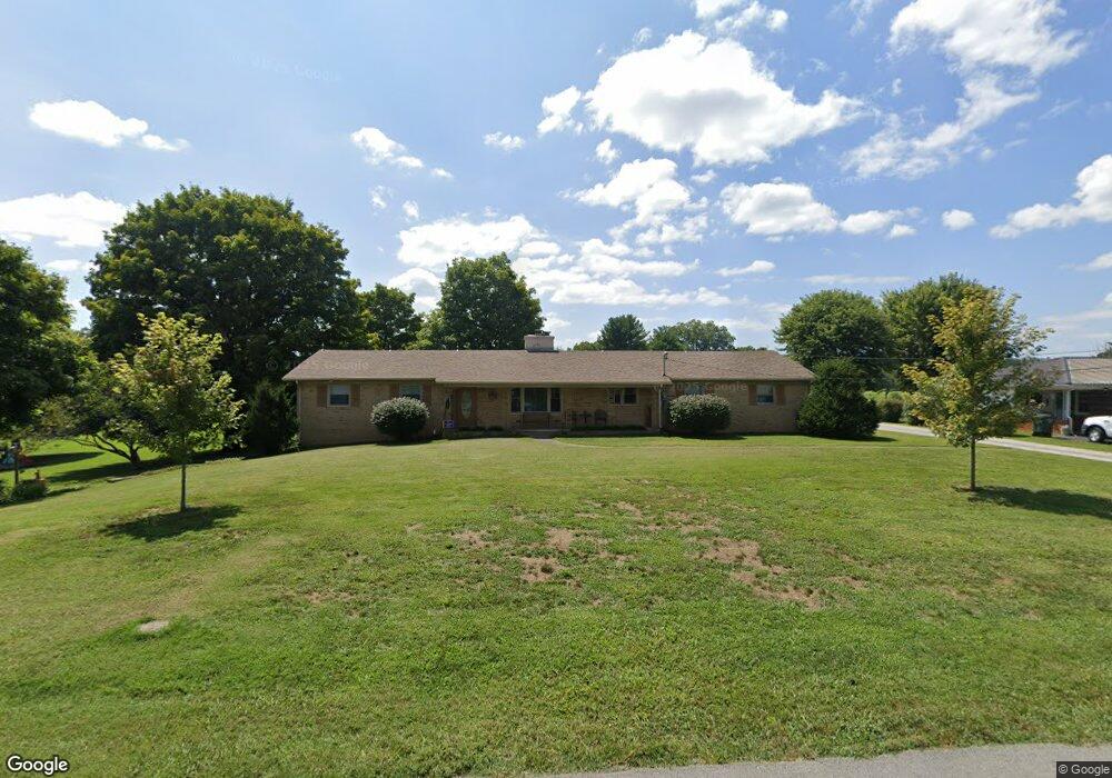
513 Wright St Sparta, TN 38583
Estimated Value: $292,364 - $472,000
Studio
2
Baths
2,102
Sq Ft
$173/Sq Ft
Est. Value
About This Home
This home is located at 513 Wright St, Sparta, TN 38583 and is currently estimated at $364,091, approximately $173 per square foot. 513 Wright St is a home located in White County with nearby schools including Findlay Elementary School, White County Middle School, and White County High School.
Ownership History
Date
Name
Owned For
Owner Type
Purchase Details
Closed on
Sep 26, 2024
Sold by
Orr David
Bought by
Orr David and Orr Linda
Current Estimated Value
Purchase Details
Closed on
Jul 13, 2021
Sold by
Luna Orr Linda
Bought by
Orr David and Orr Linda Luna
Purchase Details
Closed on
May 13, 2021
Sold by
Mcfall Jean and White Ruth C
Bought by
Mrw Environmental Llc
Home Financials for this Owner
Home Financials are based on the most recent Mortgage that was taken out on this home.
Original Mortgage
$283,900
Interest Rate
3.1%
Mortgage Type
Commercial
Create a Home Valuation Report for This Property
The Home Valuation Report is an in-depth analysis detailing your home's value as well as a comparison with similar homes in the area
Home Values in the Area
Average Home Value in this Area
Purchase History
| Date | Buyer | Sale Price | Title Company |
|---|---|---|---|
| Orr David | -- | None Listed On Document | |
| Orr David | -- | Knowles John C | |
| Mrw Environmental Llc | $334,000 | None Listed On Document |
Source: Public Records
Mortgage History
| Date | Status | Borrower | Loan Amount |
|---|---|---|---|
| Previous Owner | Mrw Environmental Llc | $283,900 |
Source: Public Records
Tax History
| Year | Tax Paid | Tax Assessment Tax Assessment Total Assessment is a certain percentage of the fair market value that is determined by local assessors to be the total taxable value of land and additions on the property. | Land | Improvement |
|---|---|---|---|---|
| 2025 | -- | $89,075 | $5,000 | $84,075 |
| 2024 | -- | $46,900 | $3,750 | $43,150 |
| 2023 | $1,392 | $46,900 | $3,750 | $43,150 |
| 2022 | $1,392 | $46,900 | $3,750 | $43,150 |
| 2021 | $1,392 | $46,900 | $3,750 | $43,150 |
| 2020 | $1,392 | $46,900 | $3,750 | $43,150 |
| 2019 | $1,057 | $34,075 | $3,000 | $31,075 |
| 2018 | $1,057 | $34,075 | $3,000 | $31,075 |
| 2017 | $1,057 | $34,075 | $3,000 | $31,075 |
| 2016 | $1,057 | $34,075 | $3,000 | $31,075 |
| 2015 | $988 | $34,075 | $3,000 | $31,075 |
| 2014 | -- | $34,075 | $3,000 | $31,075 |
| 2013 | -- | $33,225 | $3,000 | $30,225 |
Source: Public Records
Map
Nearby Homes
- 0 Millers Point Rd
- 513 N Spring St
- 0 Roberts Matthews Hwy
- 00 Roberts Matthews Hwy
- 456 Vista Dr
- 613 Hale St
- 235 Dairy Barn
- 671 N Spring St
- 627 Roosevelt Dr
- 526 Roosevelt Dr
- 566 Turntable Rd
- 548 Turn Table Rd
- 212 Oakland Dr
- 202 Gillen Dr
- 822 Old Smithville Hwy N
- 210 Gillen Dr
- 1644 Walker Cove Rd
- 242 Oakland Dr
- 2 Smithville Hwy
- 1 Smithville Hwy
- 517 Wright St
- 519 N Spring St
- 732 Millers Point Rd
- 734 Millers Point Rd
- 525 N Spring St
- 519 Wright St
- 736 Millers Point Rd
- 154 N Spring St
- 000 N Spring St
- 00 N Spring St
- 529 N Spring St
- 490 N Spring St
- 486 N Spring St
- 740 Millers Point Rd
- 477 N Spring St
- 00 Millers Point Rd
- 746 Millers Point Rd
- 543 N Spring St
- 478 N Spring St
- 540 N Spring St
Your Personal Tour Guide
Ask me questions while you tour the home.