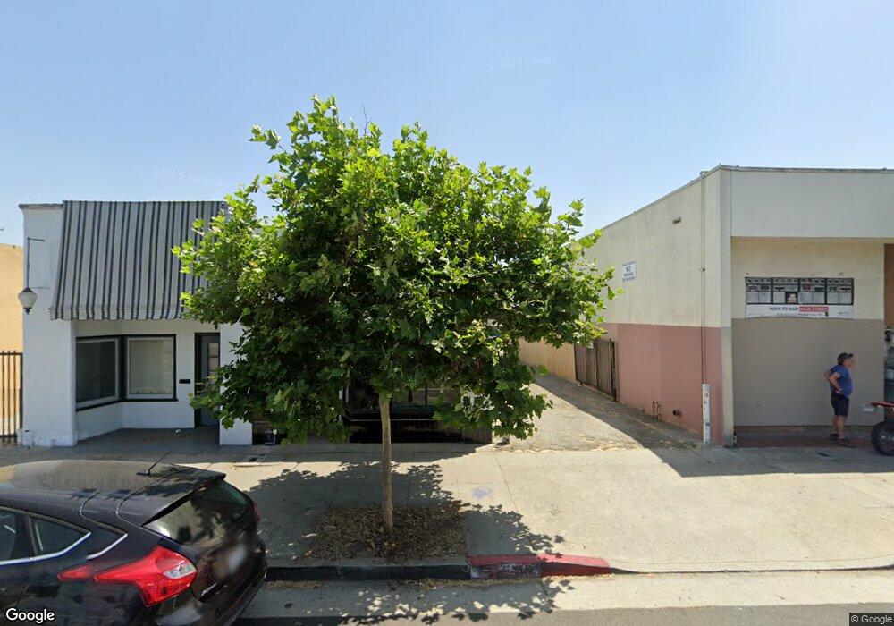
5136 York Blvd Los Angeles, CA 90042
Estimated Value: $322,457
--
Bed
--
Bath
644
Sq Ft
$501/Sq Ft
Est. Value
About This Home
This home is located at 5136 York Blvd, Los Angeles, CA 90042 and is currently estimated at $322,457, approximately $500 per square foot. 5136 York Blvd is a home located in Los Angeles County with nearby schools including Buchanan Street Elementary, Benjamin Franklin High School, and Luther Burbank Middle School.
Ownership History
Date
Name
Owned For
Owner Type
Purchase Details
Closed on
Nov 9, 2019
Sold by
Neyrey Connie and The Connie Neyrey Living Trust
Bought by
Neyrey Roger
Current Estimated Value
Purchase Details
Closed on
Sep 18, 2011
Sold by
Cadena Gilbert B and Estate Of David Fierro Cadena
Bought by
Neyrey Roger and Neyrey Connie
Create a Home Valuation Report for This Property
The Home Valuation Report is an in-depth analysis detailing your home's value as well as a comparison with similar homes in the area
Home Values in the Area
Average Home Value in this Area
Purchase History
| Date | Buyer | Sale Price | Title Company |
|---|---|---|---|
| Neyrey Roger | -- | Accommodation | |
| Neyrey Roger | $120,000 | Provident Title Company |
Source: Public Records
Tax History Compared to Growth
Tax History
| Year | Tax Paid | Tax Assessment Tax Assessment Total Assessment is a certain percentage of the fair market value that is determined by local assessors to be the total taxable value of land and additions on the property. | Land | Improvement |
|---|---|---|---|---|
| 2025 | $2,009 | $150,717 | $131,880 | $18,837 |
| 2024 | $2,009 | $147,763 | $129,295 | $18,468 |
| 2023 | $1,973 | $144,866 | $126,760 | $18,106 |
| 2022 | $1,886 | $142,026 | $124,275 | $17,751 |
| 2021 | $1,862 | $139,242 | $121,839 | $17,403 |
| 2020 | $1,877 | $137,815 | $120,590 | $17,225 |
| 2019 | $1,810 | $135,114 | $118,226 | $16,888 |
| 2018 | $1,749 | $132,465 | $115,908 | $16,557 |
| 2016 | $1,669 | $127,323 | $111,408 | $15,915 |
| 2015 | $1,646 | $125,411 | $109,735 | $15,676 |
| 2014 | $1,653 | $122,955 | $107,586 | $15,369 |
Source: Public Records
Map
Nearby Homes
- 5117 Stratford Rd
- 5125 Buchanan St
- 5252 Range View Ave
- 1113 N Avenue 50
- 4925 Buchanan St
- 5055 Hub St
- 1037 N Avenue 50
- 1048 Dexter St
- 1813 N Avenue 53
- 829 N Avenue 53
- 4854 Buchanan St
- 917 N Avenue 51
- 5240 Barker Dr
- 1813 N Avenue 55
- 1800 N Avenue 55
- 1932 Phillips Way
- 5318 Irvington Place
- 1942 Phillips Way
- 1902 N Avenue 51
- 1938 Phillips Way
- 5137 Lincoln Ave
- 5133 Lincoln Ave
- 5141 Lincoln Ave
- 5129 Lincoln Ave
- 5145 Lincoln Ave
- 5125 Lincoln Ave
- 5149 Lincoln Ave
- 5145 Lincoln Ave
- 5121 Lincoln Ave
- 5137 York Blvd
- 5133 York Blvd
- 5153 Lincoln Ave
- 5115 1/2 Lincoln Ave
- 5115 Lincoln Ave
- 5125 York Blvd
- 5149 York Blvd
- 5159 Lincoln Ave
- 5117 Lincoln Ave
- 5113 5115 Lincoln Ave
- 1/2 Lincoln Ave