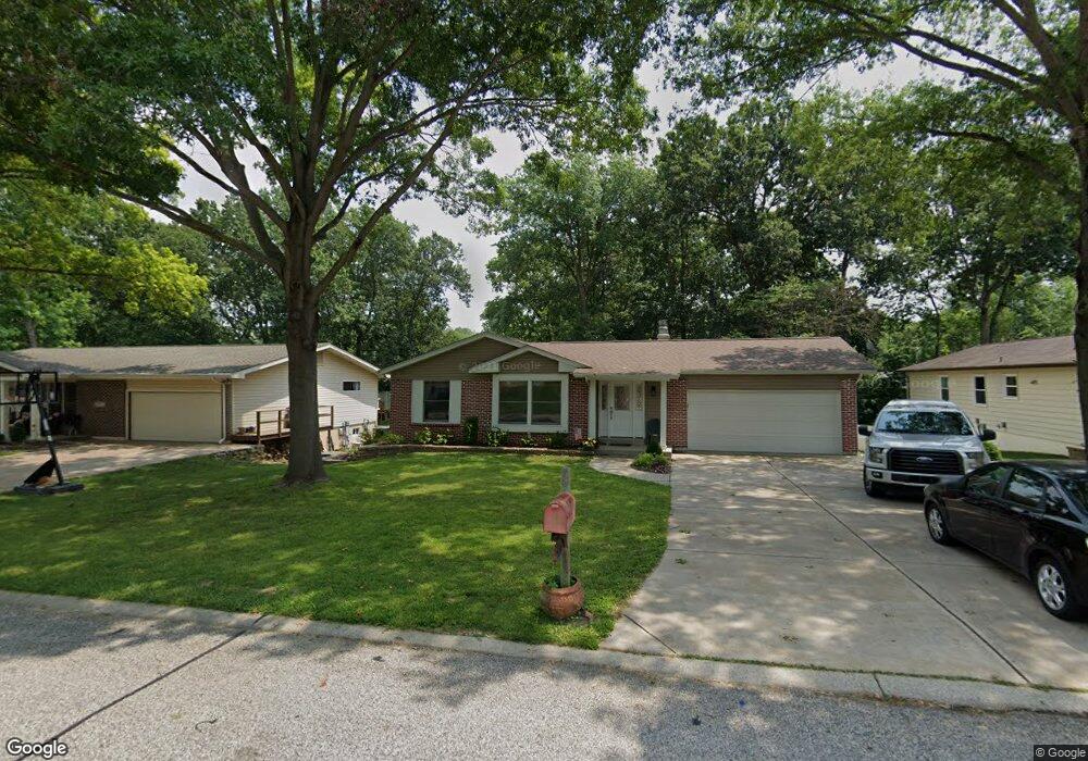
514 Forest Run Dr Eureka, MO 63025
Estimated Value: $323,000 - $361,000
4
Beds
2
Baths
1,741
Sq Ft
$198/Sq Ft
Est. Value
About This Home
This home is located at 514 Forest Run Dr, Eureka, MO 63025 and is currently estimated at $344,226, approximately $197 per square foot. 514 Forest Run Dr is a home located in St. Louis County with nearby schools including Blevins Elementary School, Lasalle Springs Middle School, and Eureka Senior High School.
Ownership History
Date
Name
Owned For
Owner Type
Purchase Details
Closed on
Sep 14, 2005
Sold by
Adams Steven E and Adams Carla M
Bought by
Mccauley Brian and Mccauley Carolyn
Current Estimated Value
Home Financials for this Owner
Home Financials are based on the most recent Mortgage that was taken out on this home.
Original Mortgage
$155,000
Outstanding Balance
$82,456
Interest Rate
5.76%
Mortgage Type
Fannie Mae Freddie Mac
Estimated Equity
$261,770
Create a Home Valuation Report for This Property
The Home Valuation Report is an in-depth analysis detailing your home's value as well as a comparison with similar homes in the area
Home Values in the Area
Average Home Value in this Area
Purchase History
| Date | Buyer | Sale Price | Title Company |
|---|---|---|---|
| Mccauley Brian | $193,900 | -- |
Source: Public Records
Mortgage History
| Date | Status | Borrower | Loan Amount |
|---|---|---|---|
| Open | Mccauley Brian | $155,000 |
Source: Public Records
Tax History
| Year | Tax Paid | Tax Assessment Tax Assessment Total Assessment is a certain percentage of the fair market value that is determined by local assessors to be the total taxable value of land and additions on the property. | Land | Improvement |
|---|---|---|---|---|
| 2025 | $3,888 | $57,460 | $19,170 | $38,290 |
| 2024 | $3,888 | $52,080 | $13,410 | $38,670 |
| 2023 | $3,891 | $52,080 | $13,410 | $38,670 |
| 2022 | $3,693 | $45,980 | $14,380 | $31,600 |
| 2021 | $3,665 | $45,980 | $14,380 | $31,600 |
| 2020 | $3,485 | $41,800 | $11,480 | $30,320 |
| 2019 | $3,496 | $41,800 | $11,480 | $30,320 |
| 2018 | $3,072 | $34,660 | $8,610 | $26,050 |
| 2017 | $2,959 | $34,660 | $8,610 | $26,050 |
| 2016 | $2,946 | $33,180 | $6,710 | $26,470 |
Source: Public Records
Map
Nearby Homes
- 369 Cerny Ave
- 814 Eureka Rd
- 329 Kevin Jon Ct
- 75 Old Farmhouse Way
- 318 Kevin Jon Ct
- 826 Lower Field Ln
- 808 Lower Field Ln
- 1000 Eureka Rd
- 83 Old Farmhouse Way
- 830 Lower Field Ln
- 331 Artic Fox Ct
- 1075 Eureka Rd
- 118 Towne Square Ct Unit D4
- 125 Towne Square Ct Unit 4E
- 345 Palisades Ridge Ct
- 637 N Virginia Ave
- 1045 Bloomfield Dr
- 1049 Bloomfield Dr
- 7887 Jim Weber Rd
- 1057 Bloomfield Dr
- 512 Forest Run Dr
- 516 Forest Run Dr
- 515 Williams Dr
- 510 Forest Run Dr
- 518 Forest Run Dr
- 513 Williams Dr
- 1TBB @ Hawthorn at Rockwood Villas Way
- 1TBB Hawthorn-Arbors of Rockwood Way
- 1TBB Royal II @ Manors @ Windswept Ln
- 517 Williams Dr
- 515 Forest Run Dr
- 513 Forest Run Dr
- 517 Forest Run Dr
- 511 Williams Dr
- 519 Williams Dr
- 508 Forest Run Dr
- 520 Forest Run Dr
- 511 Forest Run Dr
- 519 Forest Run Dr
- 509 Williams Dr
Your Personal Tour Guide
Ask me questions while you tour the home.