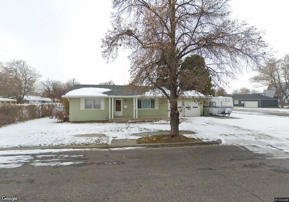
514 Houle Dr Billings, MT 59102
West End NeighborhoodEstimated Value: $320,000 - $342,466
3
Beds
2
Baths
2,136
Sq Ft
$157/Sq Ft
Est. Value
About This Home
This home is located at 514 Houle Dr, Billings, MT 59102 and is currently estimated at $335,367, approximately $157 per square foot. 514 Houle Dr is a home located in Yellowstone County with nearby schools including Miles Avenue School, Will James Junior High School, and Billings West High School.
Ownership History
Date
Name
Owned For
Owner Type
Purchase Details
Closed on
Sep 21, 2018
Sold by
Moore Debra A
Bought by
Tharp Sean P and Tharp Amanda N
Current Estimated Value
Home Financials for this Owner
Home Financials are based on the most recent Mortgage that was taken out on this home.
Original Mortgage
$192,215
Outstanding Balance
$168,172
Interest Rate
4.75%
Mortgage Type
FHA
Estimated Equity
$167,195
Create a Home Valuation Report for This Property
The Home Valuation Report is an in-depth analysis detailing your home's value as well as a comparison with similar homes in the area
Home Values in the Area
Average Home Value in this Area
Purchase History
We collect this data history from publicly available records. To have your information removed, we recommend requesting removal directly through your county’s website.
| Date | Buyer | Sale Price | Title Company |
|---|---|---|---|
| Tharp Sean P | -- | -- |
Source: Public Records
Mortgage History
We collect this data history from publicly available records. To have your information removed, we recommend requesting removal directly through your county’s website.
| Date | Status | Borrower | Loan Amount |
|---|---|---|---|
| Open | Tharp Sean P | $192,215 |
Source: Public Records
Tax History
| Year | Tax Paid | Tax Assessment Tax Assessment Total Assessment is a certain percentage of the fair market value that is determined by local assessors to be the total taxable value of land and additions on the property. | Land | Improvement |
|---|---|---|---|---|
| 2025 | $3,039 | $341,300 | $59,201 | $282,099 |
| 2024 | $3,039 | $312,300 | $51,029 | $261,271 |
| 2023 | $3,047 | $312,300 | $51,029 | $261,271 |
| 2022 | $2,060 | $218,200 | $0 | $0 |
| 2021 | $2,340 | $218,200 | $0 | $0 |
| 2020 | $2,356 | $211,100 | $0 | $0 |
| 2019 | $2,249 | $211,100 | $0 | $0 |
| 2018 | $2,235 | $189,100 | $0 | $0 |
| 2017 | $1,751 | $189,100 | $0 | $0 |
| 2016 | $2,118 | $186,500 | $0 | $0 |
| 2015 | $2,075 | $186,500 | $0 | $0 |
| 2014 | $1,866 | $87,662 | $0 | $0 |
Source: Public Records
Map
Nearby Homes
- 2037 Custer Ave
- 2206 Hewitt Dr
- 2205 Yellowstone Ave
- 1923 Wyoming Ave
- 523 Hewitt Dr
- 2020 Lewis Ave
- 0 Wyatt Cir Unit 356590
- 803 25th St W
- 1836 Clark Ave
- 1815 Wyoming Ave
- 1736 Broadwater Ave
- 2315 Burlington Ave
- 1021 25th St W
- 28 19th St W
- 2517 Terry Ave
- 2521 Custer Ave
- 430 Nelson Dr
- 2547 Broadwater Ave
- 16 19th St W
- 1903 Belvedere Dr
- 2105 Custer Ave
- 2111 Custer Ave
- 2108-2116 Broadwater Ave
- 2057 Custer Ave
- 2121 Custer Ave
- 2110 Custer Ave
- 517 Houle Dr
- 2051 Custer Ave
- 2116 Custer Ave
- 2127 Custer Ave
- 2060 Custer Ave
- 2122 Custer Ave
- 2115 Broadwater Ave
- 2103 Hewitt Dr
- 2047 Custer Ave
- 2111 Broadwater Ave
- 2107 Broadwater Ave
- 2133 Custer Ave
- 2063 Hewitt Dr
- 2107 Hewitt Dr
Your Personal Tour Guide
Ask me questions while you tour the home.