Estimated Value: $88,000 - $121,000
--
Bed
--
Bath
1,484
Sq Ft
$72/Sq Ft
Est. Value
About This Home
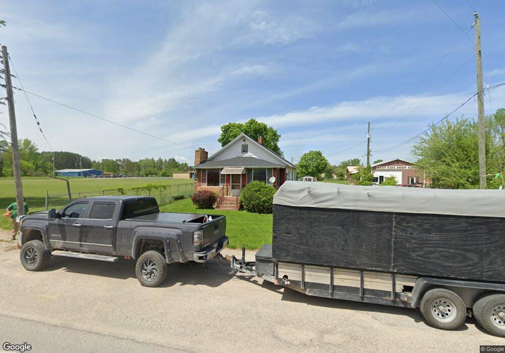
This home is located at 514 W Main St, Hale, MI 48739 and is currently estimated at $107,533, approximately $72 per square foot. 514 W Main St is a home located in Iosco County with nearby schools including Hale Elementary/Middle School and Hale High School.
Ownership History
Date
Name
Owned For
Owner Type
Purchase Details
Closed on
Oct 15, 2012
Sold by
Mcgrath John M
Bought by
Mcgrath John M and Kaiser Dorothy E
Current Estimated Value
Purchase Details
Closed on
Oct 9, 2012
Sold by
Jpmorgan Chase Bank Na
Bought by
Mcgrath John M
Purchase Details
Closed on
Jan 4, 2012
Sold by
Iosco County Sheriff Dept
Bought by
Jpmorgan Chase Bank Na
Purchase Details
Closed on
Jul 6, 2007
Sold by
Mcallister Tressa A
Bought by
Paquette Joseph A and Paquette Faith B
Home Financials for this Owner
Home Financials are based on the most recent Mortgage that was taken out on this home.
Original Mortgage
$58,000
Interest Rate
6.54%
Create a Home Valuation Report for This Property
The Home Valuation Report is an in-depth analysis detailing your home's value as well as a comparison with similar homes in the area
Home Values in the Area
Average Home Value in this Area
Purchase History
| Date | Buyer | Sale Price | Title Company |
|---|---|---|---|
| Mcgrath John M | -- | -- | |
| Mcgrath John M | $27,000 | -- | |
| Jpmorgan Chase Bank Na | $34,509 | -- | |
| Paquette Joseph A | -- | -- | |
| Paquette Joseph A | $72,500 | -- |
Source: Public Records
Mortgage History
| Date | Status | Borrower | Loan Amount |
|---|---|---|---|
| Previous Owner | Paquette Joseph A | $58,000 |
Source: Public Records
Tax History Compared to Growth
Tax History
| Year | Tax Paid | Tax Assessment Tax Assessment Total Assessment is a certain percentage of the fair market value that is determined by local assessors to be the total taxable value of land and additions on the property. | Land | Improvement |
|---|---|---|---|---|
| 2025 | $526 | $29,100 | $29,100 | $0 |
| 2024 | $541 | $33,900 | $0 | $0 |
| 2023 | $242 | $32,300 | $32,300 | $0 |
| 2022 | $500 | $23,000 | $23,000 | $0 |
| 2021 | $566 | $28,500 | $28,500 | $0 |
| 2020 | $560 | $26,600 | $26,600 | $0 |
| 2019 | $509 | $24,000 | $24,000 | $0 |
| 2018 | $501 | $22,700 | $22,700 | $0 |
| 2017 | $461 | $22,500 | $22,500 | $0 |
| 2016 | $444 | $22,500 | $0 | $0 |
| 2015 | -- | $21,300 | $0 | $0 |
| 2014 | -- | $22,800 | $0 | $0 |
| 2013 | -- | $24,000 | $0 | $0 |
Source: Public Records
Map
Nearby Homes
- 7388 W Esmond Rd
- 301 E Main St
- 0000 E M-55
- 7549 Hillsdale Dr
- 0 O'Connor Rd
- 7380 Shellenbarger Rd
- 00 Runyon Ln
- 6525 Shellenbarger Rd
- 6536 Shellenbarger Rd
- 7527 Cove Rd
- 00 Wild Cherry Ln Unit 4
- 7797 Lakeside Blvd
- 7924 Campbell Ave
- 8084 Campbell Ave
- 8705 Birch Dr
- 2995 Maple Rd
- 0 Campbell Unit 1938677
- 2855 E County Line Rd
- 00 Lot 8 Countyline Rd
- 00 Lot 5 Countyline Rd
- 514 W Main St
- 520 W Main St
- 500 W Main St
- 528 W Main St
- 441 E Main St
- 436 W Main St
- 511 W Main St
- 511 W Main St
- 610 W Main St
- 7251 W Esmond Rd
- 7251 W Esmond Rd
- 430 W Main St
- 698 W Main St
- 0 Esmond Rd Unit 1849004
- 0 Esmond Rd Unit 1844879
- 0 Esmond Rd Unit 1777105
- 0 Esmond Rd Unit 1786032
- 0 Esmond Rd Unit 1806454
- 0 Esmond Rd Unit 1824970
- 0 Esmond Rd Unit 1914992