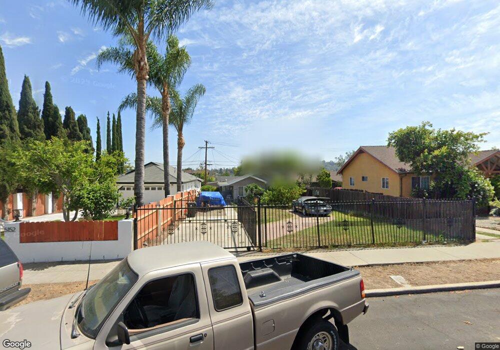
5148 Range View Ave Los Angeles, CA 90042
Highland Park NeighborhoodEstimated Value: $792,000 - $1,334,000
2
Beds
1
Bath
797
Sq Ft
$1,226/Sq Ft
Est. Value
About This Home
This home is located at 5148 Range View Ave, Los Angeles, CA 90042 and is currently estimated at $977,451, approximately $1,226 per square foot. 5148 Range View Ave is a home located in Los Angeles County with nearby schools including Buchanan Street Elementary and Franklin Middle School & High School.
Ownership History
Date
Name
Owned For
Owner Type
Purchase Details
Closed on
Nov 21, 1996
Sold by
Cobarrubias Elizabeth Cobarrubias, Robert M and Cobarrubias Samonte
Bought by
Gonzales Anthony
Current Estimated Value
Home Financials for this Owner
Home Financials are based on the most recent Mortgage that was taken out on this home.
Original Mortgage
$88,000
Outstanding Balance
$8,421
Interest Rate
7.76%
Estimated Equity
$969,030
Create a Home Valuation Report for This Property
The Home Valuation Report is an in-depth analysis detailing your home's value as well as a comparison with similar homes in the area
Home Values in the Area
Average Home Value in this Area
Purchase History
| Date | Buyer | Sale Price | Title Company |
|---|---|---|---|
| Gonzales Anthony | $110,000 | Gateway Title Company |
Source: Public Records
Mortgage History
| Date | Status | Borrower | Loan Amount |
|---|---|---|---|
| Open | Gonzales Anthony | $88,000 |
Source: Public Records
Tax History
| Year | Tax Paid | Tax Assessment Tax Assessment Total Assessment is a certain percentage of the fair market value that is determined by local assessors to be the total taxable value of land and additions on the property. | Land | Improvement |
|---|---|---|---|---|
| 2025 | $2,197 | $179,127 | $126,699 | $52,428 |
| 2024 | $2,197 | $175,615 | $124,215 | $51,400 |
| 2023 | $2,155 | $172,173 | $121,780 | $50,393 |
| 2022 | $2,055 | $168,798 | $119,393 | $49,405 |
| 2021 | $2,025 | $165,489 | $117,052 | $48,437 |
| 2019 | $1,964 | $160,582 | $113,581 | $47,001 |
| 2018 | $1,922 | $157,434 | $111,354 | $46,080 |
| 2016 | $1,827 | $151,323 | $107,031 | $44,292 |
| 2015 | $1,800 | $149,051 | $105,424 | $43,627 |
| 2014 | $1,814 | $146,132 | $103,359 | $42,773 |
Source: Public Records
Map
Nearby Homes
- 5132 Range View Ave
- 5007 Almaden Dr
- 5240 Barker Dr
- 1817 N Avenue 55
- 1932 Phillips Way
- 5144 Buchanan St
- 4920 Stratford Rd
- 5330 Lincoln Ave
- 1942 Phillips Way
- 1938 Phillips Way
- 5001 Buchanan St
- 5349 Baltimore St
- 1393 N Avenue 57
- 4816 Stratford Rd
- 5055 Hub St
- 5118 Hub St
- 829 N Avenue 53
- 1048 Dexter St
- 917 N Avenue 51
- 1333 Wildwood Dr
- 5152 Range View Ave
- 5144 Range View Ave
- 5140 Range View Ave
- 5156 Range View Ave
- 5136 Range View Ave
- 5147 Stratford Rd
- 5145 Stratford Rd
- 5153 Stratford Rd
- 5141 Stratford Rd
- 5157 Stratford Rd
- 5137 Stratford Rd
- 1688 N Avenue 52
- 5149 Range View Ave
- 5153 Range View Ave
- 5145 Range View Ave
- 1680 N Avenue 52
- 1680 N Ave 52
- 1680 North Avenue 52
- 1688 North Avenue 52
- 5157 Range View Ave
Your Personal Tour Guide
Ask me questions while you tour the home.