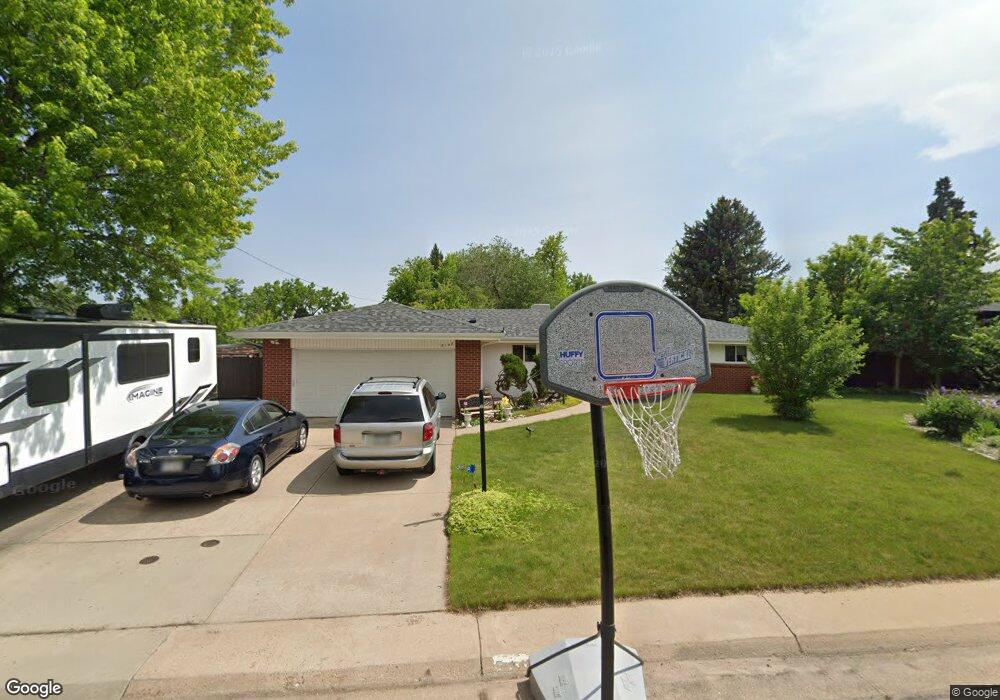
5148 W Hinsdale Cir Littleton, CO 80128
Estimated Value: $721,000 - $932,000
5
Beds
3
Baths
3,720
Sq Ft
$224/Sq Ft
Est. Value
About This Home
This home is located at 5148 W Hinsdale Cir, Littleton, CO 80128 and is currently estimated at $832,397, approximately $223 per square foot. 5148 W Hinsdale Cir is a home located in Arapahoe County with nearby schools including Wilder Elementary School, Goddard Middle School, and Heritage High School.
Ownership History
Date
Name
Owned For
Owner Type
Purchase Details
Closed on
Sep 7, 2012
Sold by
Scott Steven O and Scott Jamie J
Bought by
Hackfort Erin Renee
Current Estimated Value
Purchase Details
Closed on
Feb 26, 2002
Sold by
Head Anita F
Bought by
Scott Steven O and Scott Jamie J
Home Financials for this Owner
Home Financials are based on the most recent Mortgage that was taken out on this home.
Original Mortgage
$241,587
Interest Rate
6.81%
Mortgage Type
FHA
Purchase Details
Closed on
Jul 4, 1776
Bought by
Conversion Arapco
Create a Home Valuation Report for This Property
The Home Valuation Report is an in-depth analysis detailing your home's value as well as a comparison with similar homes in the area
Home Values in the Area
Average Home Value in this Area
Purchase History
| Date | Buyer | Sale Price | Title Company |
|---|---|---|---|
| Hackfort Erin Renee | $273,000 | Heritage Title | |
| Scott Steven O | $245,000 | Land Title | |
| Conversion Arapco | -- | -- |
Source: Public Records
Mortgage History
| Date | Status | Borrower | Loan Amount |
|---|---|---|---|
| Previous Owner | Scott Steven O | $241,587 |
Source: Public Records
Tax History Compared to Growth
Tax History
| Year | Tax Paid | Tax Assessment Tax Assessment Total Assessment is a certain percentage of the fair market value that is determined by local assessors to be the total taxable value of land and additions on the property. | Land | Improvement |
|---|---|---|---|---|
| 2024 | $6,241 | $51,088 | -- | -- |
| 2023 | $6,241 | $54,712 | $0 | $0 |
| 2022 | $4,848 | $39,963 | $0 | $0 |
| 2021 | $5,245 | $43,334 | $0 | $0 |
| 2020 | $4,703 | $39,868 | $0 | $0 |
| 2019 | $4,467 | $39,868 | $0 | $0 |
| 2018 | $3,383 | $30,132 | $0 | $0 |
| 2017 | $3,177 | $30,132 | $0 | $0 |
| 2016 | $3,087 | $28,704 | $0 | $0 |
| 2015 | $3,089 | $28,704 | $0 | $0 |
| 2014 | -- | $23,482 | $0 | $0 |
| 2013 | -- | $19,040 | $0 | $0 |
Source: Public Records
Map
Nearby Homes
- 7351 S Sheridan Ct
- 5040 W Geddes Cir
- 7427 S Ames Ct
- 7425 S Utica St
- 5466 W Indore Dr
- 7452 S Utica St
- 7175 S Polo Ridge Dr
- 7120 S Sheridan Ct
- 5274 W Rowland Place
- 7504 S Depew St
- 7079 S Polo Ridge Dr
- 7604 S Platteview Dr
- 4431 W Jamison Place
- 7636 S Eaton Way
- 7000 S Sheridan Blvd
- 7753 S Ames Way
- 7729 S Eaton Way
- 5983 W Indore Place
- 5041 W Portland Dr
- 5454 W Canyon Trail Unit B
- 5138 W Hinsdale Cir
- 7337 S Platte Canyon Dr
- 7331 S Platte Canyon Dr
- 7367 S Platte Canyon Dr
- 7347 S Platte Canyon Dr
- 5117 W Hinsdale Cir
- 5127 W Hinsdale Cir
- 7377 S Platte Canyon Dr
- 5128 W Hinsdale Cir
- 5107 W Hinsdale Cir
- 7327 S Platte Canyon Dr
- 7387 S Platte Canyon Dr
- 7336 S Platte Canyon Dr
- 5046 W Hinsdale Cir
- 7340 S Platte Canyon Dr
- 5026 W Hinsdale Cir
- 7366 S Platte Canyon Dr
- 5118 W Hinsdale Cir
- 7330 S Platte Canyon Dr
- 7356 S Platte Canyon Dr