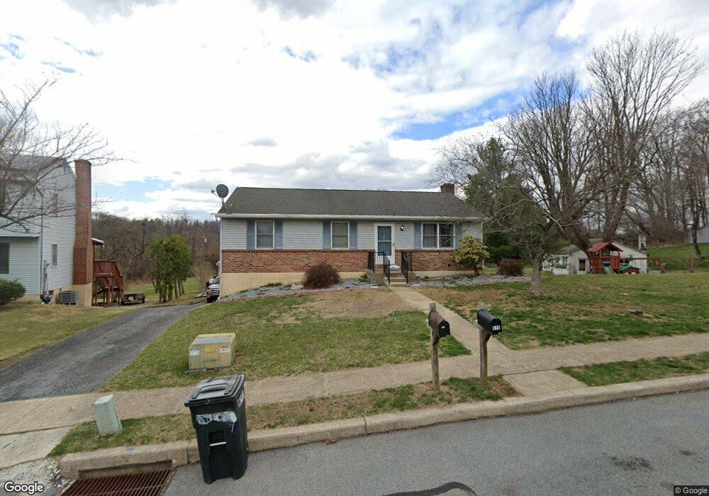
515 Crest Cir Mohnton, PA 19540
Estimated Value: $258,132 - $329,000
3
Beds
1
Bath
1,080
Sq Ft
$275/Sq Ft
Est. Value
About This Home
This home is located at 515 Crest Cir, Mohnton, PA 19540 and is currently estimated at $296,533, approximately $274 per square foot. 515 Crest Cir is a home located in Berks County with nearby schools including Governor Mifflin Intermediate School, Brecknock Elementary School, and Governor Mifflin Middle School.
Ownership History
Date
Name
Owned For
Owner Type
Purchase Details
Closed on
Jan 30, 2013
Sold by
Stelter Jeffrey T and Stelter Mary A
Bought by
Stelter Jeffrey T and Stelter Mary A
Current Estimated Value
Home Financials for this Owner
Home Financials are based on the most recent Mortgage that was taken out on this home.
Original Mortgage
$121,700
Outstanding Balance
$23,053
Interest Rate
2.68%
Mortgage Type
New Conventional
Estimated Equity
$273,480
Purchase Details
Closed on
Feb 10, 2005
Sold by
Dragon Agnes B
Bought by
Stelter Jeffrey T and Branstetter Mary A
Home Financials for this Owner
Home Financials are based on the most recent Mortgage that was taken out on this home.
Original Mortgage
$133,200
Interest Rate
5.95%
Mortgage Type
Fannie Mae Freddie Mac
Create a Home Valuation Report for This Property
The Home Valuation Report is an in-depth analysis detailing your home's value as well as a comparison with similar homes in the area
Home Values in the Area
Average Home Value in this Area
Purchase History
| Date | Buyer | Sale Price | Title Company |
|---|---|---|---|
| Stelter Jeffrey T | -- | None Available | |
| Stelter Jeffrey T | $148,000 | -- |
Source: Public Records
Mortgage History
| Date | Status | Borrower | Loan Amount |
|---|---|---|---|
| Open | Stelter Jeffrey T | $121,700 | |
| Previous Owner | Stelter Jeffrey T | $133,200 |
Source: Public Records
Tax History Compared to Growth
Tax History
| Year | Tax Paid | Tax Assessment Tax Assessment Total Assessment is a certain percentage of the fair market value that is determined by local assessors to be the total taxable value of land and additions on the property. | Land | Improvement |
|---|---|---|---|---|
| 2025 | $1,529 | $91,500 | $32,200 | $59,300 |
| 2024 | $4,163 | $91,500 | $32,200 | $59,300 |
| 2023 | $4,054 | $91,500 | $32,200 | $59,300 |
| 2022 | $3,885 | $91,500 | $32,200 | $59,300 |
| 2021 | $3,839 | $91,500 | $32,200 | $59,300 |
| 2020 | $3,839 | $91,500 | $32,200 | $59,300 |
| 2019 | $3,775 | $91,500 | $32,200 | $59,300 |
| 2018 | $3,695 | $91,500 | $32,200 | $59,300 |
| 2017 | $3,621 | $91,500 | $32,200 | $59,300 |
| 2016 | $1,069 | $91,500 | $32,200 | $59,300 |
| 2015 | $1,069 | $91,500 | $32,200 | $59,300 |
| 2014 | $1,047 | $91,500 | $32,200 | $59,300 |
Source: Public Records
Map
Nearby Homes
- 306 Sycamore St
- 614 Wolfe Ln
- 665 Fairmont Ave
- 206 N Church St
- 52 W Wyomissing Ave
- 28 N Church St
- 13 E Summit St
- 26 E Mohn St
- 611 Maplewood Ave
- 578 Old Lancaster Pike
- 121 E Summit St
- 139 Hillcrest Rd
- 165 Hillcrest Rd
- 3 Monroe St
- 120 E Wyomissing Ave
- 18 Front St
- 131 E Wyomissing Ave
- 1104 Bedford Ave
- 42 Adams St
- 1750 Gravel Hill Rd