Estimated Value: $384,000 - $451,000
3
Beds
2
Baths
1,260
Sq Ft
$322/Sq Ft
Est. Value
About This Home
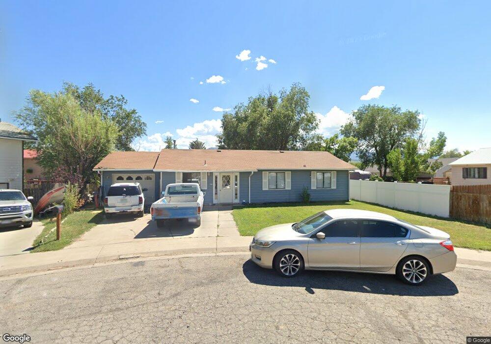
This home is located at 515 Elm Ct, Rifle, CO 81650 and is currently estimated at $406,081, approximately $322 per square foot. 515 Elm Ct is a home located in Garfield County with nearby schools including Graham Mesa Elementary School, Rifle Middle School, and Rifle High School.
Ownership History
Date
Name
Owned For
Owner Type
Purchase Details
Closed on
May 7, 2021
Sold by
Grange Marie
Bought by
Grange Marie R and The Revocable Living Trust
Current Estimated Value
Purchase Details
Closed on
Feb 2, 2018
Sold by
Grange Gene A and Grange Marie R
Bought by
Grange Marie
Purchase Details
Closed on
Nov 14, 2006
Sold by
Grange Gene A and Grange Marie R
Bought by
Grange Gene A and Grange Marie R
Purchase Details
Closed on
Apr 29, 2002
Sold by
Rooks William Dale and Rooks Teddi Renae
Bought by
Grange Gene A and Grange Marie R
Purchase Details
Closed on
Sep 21, 2000
Sold by
Associates Financial Services
Bought by
Rooks William Dale and Rooks Teddi Renae
Purchase Details
Closed on
Aug 29, 2000
Sold by
Norvell Samuel R and Norvell Veta P
Bought by
Associates Financial Services
Purchase Details
Closed on
Feb 12, 1996
Purchase Details
Closed on
Aug 20, 1995
Create a Home Valuation Report for This Property
The Home Valuation Report is an in-depth analysis detailing your home's value as well as a comparison with similar homes in the area
Home Values in the Area
Average Home Value in this Area
Purchase History
| Date | Buyer | Sale Price | Title Company |
|---|---|---|---|
| Grange Marie R | -- | None Available | |
| Grange Marie | -- | None Available | |
| Grange Gene A | -- | None Available | |
| Grange Gene A | $149,000 | -- | |
| Rooks William Dale | $119,000 | -- | |
| Associates Financial Services | $1,000 | -- | |
| Associates Financial Services | $1,000 | -- | |
| -- | $103,000 | -- | |
| -- | $103,000 | -- | |
| -- | $22,000 | -- | |
| -- | $22,000 | -- |
Source: Public Records
Tax History
| Year | Tax Paid | Tax Assessment Tax Assessment Total Assessment is a certain percentage of the fair market value that is determined by local assessors to be the total taxable value of land and additions on the property. | Land | Improvement |
|---|---|---|---|---|
| 2025 | $1,793 | $20,390 | $3,250 | $17,140 |
| 2024 | $1,793 | $16,220 | $2,400 | $13,820 |
| 2023 | $1,237 | $16,220 | $2,400 | $13,820 |
| 2022 | $1,145 | $15,990 | $3,480 | $12,510 |
| 2021 | $1,315 | $16,450 | $3,580 | $12,870 |
| 2020 | $1,201 | $16,420 | $2,570 | $13,850 |
| 2019 | $1,137 | $16,420 | $2,570 | $13,850 |
| 2018 | $941 | $13,290 | $2,380 | $10,910 |
| 2017 | $850 | $13,290 | $2,380 | $10,910 |
| 2016 | $706 | $12,500 | $2,150 | $10,350 |
| 2015 | $652 | $12,500 | $2,150 | $10,350 |
| 2014 | -- | $10,920 | $1,550 | $9,370 |
Source: Public Records
Map
Nearby Homes
- 824 W 5th St
- 500 Fairway Ave
- 410 Fairway Ave
- 332 Elm Ave
- 381 W 5th St Unit 2
- 326 Prefontaine Ave
- 326 Will Ave
- 232 W 4th St
- 1617 W 7th St
- 758 Railroad Ave
- 440 Whiteriver Ave
- 430 & 432 Whiteriver Ave
- 216 E 1st St
- 327 E 3rd St
- 124 Daniel Ave
- 805 Munro Ave
- 1384 Munro Ave
- 292 Cowboy Dr
- 258 Cowboy Dr
- 260 Cowboy Dr
Your Personal Tour Guide
Ask me questions while you tour the home.