515 Mcclure Ave Lowell, AR 72745
Estimated Value: $250,000 - $309,000
Studio
2
Baths
1,152
Sq Ft
$241/Sq Ft
Est. Value
About This Home
This home is located at 515 Mcclure Ave, Lowell, AR 72745 and is currently estimated at $277,296, approximately $240 per square foot. 515 Mcclure Ave is a home located in Benton County with nearby schools including Lowell Elementary School, Kirksey Middle School, and Rogers High School.
Ownership History
Date
Name
Owned For
Owner Type
Purchase Details
Closed on
Aug 31, 2001
Bought by
Sanchez G 2 P
Current Estimated Value
Purchase Details
Closed on
Oct 30, 1996
Bought by
Sanchez 2P
Purchase Details
Closed on
Aug 3, 1988
Bought by
Hardcastle-Harvison
Purchase Details
Closed on
Jun 10, 1987
Bought by
Hardcastle-Harvison
Purchase Details
Closed on
May 18, 1987
Bought by
Caswell-Hardcastle
Purchase Details
Closed on
May 11, 1987
Bought by
Caswell-Hardcastle
Create a Home Valuation Report for This Property
The Home Valuation Report is an in-depth analysis detailing your home's value as well as a comparison with similar homes in the area
Home Values in the Area
Average Home Value in this Area
Purchase History
| Date | Buyer | Sale Price | Title Company |
|---|---|---|---|
| Sanchez G 2 P | -- | -- | |
| Sanchez 2P | $57,000 | -- | |
| Hardcastle-Harvison | -- | -- | |
| Hardcastle-Harvison | -- | -- | |
| Hardcastle-Harvison | $34,000 | -- | |
| Caswell-Hardcastle | $1,000 | -- | |
| Caswell-Hardcastle | -- | -- |
Source: Public Records
Tax History
| Year | Tax Paid | Tax Assessment Tax Assessment Total Assessment is a certain percentage of the fair market value that is determined by local assessors to be the total taxable value of land and additions on the property. | Land | Improvement |
|---|---|---|---|---|
| 2025 | $1,372 | $49,616 | $28,290 | $21,326 |
| 2024 | $1,213 | $49,616 | $28,290 | $21,326 |
| 2023 | $928 | $21,860 | $7,770 | $14,090 |
| 2022 | $597 | $21,860 | $7,770 | $14,090 |
| 2021 | $550 | $21,860 | $7,770 | $14,090 |
| 2020 | $507 | $15,160 | $5,250 | $9,910 |
| 2019 | $450 | $15,160 | $5,250 | $9,910 |
| 2018 | $440 | $15,160 | $5,250 | $9,910 |
| 2017 | $327 | $15,160 | $5,250 | $9,910 |
| 2016 | $327 | $15,160 | $5,250 | $9,910 |
| 2015 | $644 | $12,110 | $3,150 | $8,960 |
| 2014 | $294 | $12,110 | $3,150 | $8,960 |
Source: Public Records
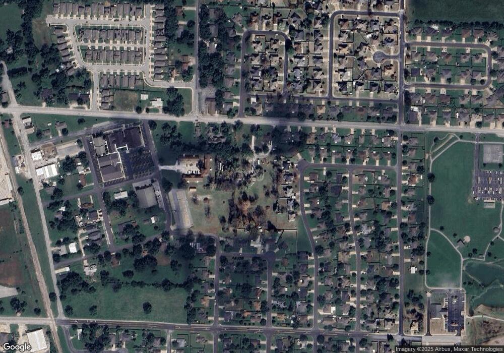
Map
Nearby Homes
- 423 Mayflower Ave
- 704 Mcclure Ave
- 407 Jackson Place
- 0 Presidential Dr Unit 1317772
- 1105 Maclaren Ave
- 1101 Maclaren Ave
- 1103 Maclaren Ave
- 1116 Maclaren Ave
- 1102 Maclaren Ave
- 206 N Old Wire Rd
- 615 Honeysuckle St
- 615 Knight Ave
- 1000 Autumn Royal Ave
- 1106 Calla Lily Ave
- 1114 Calla Lily Ave
- 1108 Calla Lily Ave
- 1107 Calla Lily Ave
- 1117 Calla Lily Ave
- 1105 Daylily Ave
- 1113 Calla Lily Ave
- 519 Mcclure Ave
- 216 N Bailey St
- 212 N Bailey St
- 208 N Bailey St
- 204 N Bailey St
- 600 Barbara Ave
- 521 Mcclure Ave
- 509 Mcclure Ave
- 503 Mcclure Ave
- TBD Mcclure Ave
- 200 N Bailey St
- 129 Jefferson St
- 525 Mcclure Ave
- 512 Newlin Ave
- 516 Newlin Ave
- 602 Barbara Ave
- 518 Newlin Ave
- 213 N Bailey St
- 209 N Bailey St
- 501 Mcclure Ave
Your Personal Tour Guide
Ask me questions while you tour the home.