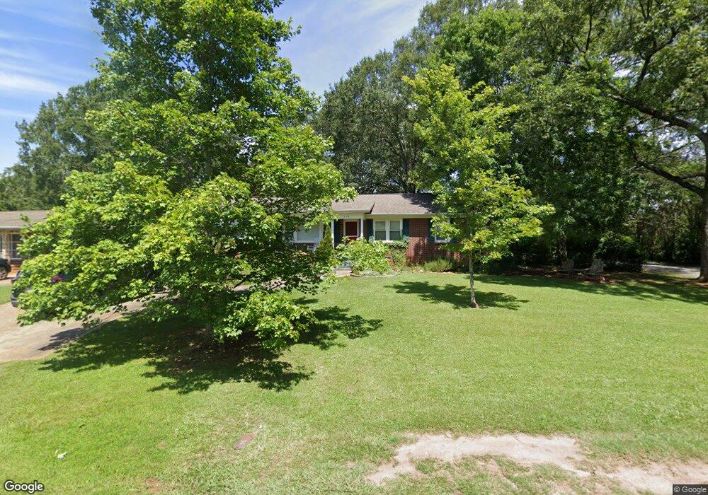
515 Watkins Dr Pendleton, SC 29670
Estimated Value: $241,905 - $281,000
Studio
--
Bath
1,662
Sq Ft
$160/Sq Ft
Est. Value
About This Home
This home is located at 515 Watkins Dr, Pendleton, SC 29670 and is currently estimated at $266,726, approximately $160 per square foot. 515 Watkins Dr is a home located in Anderson County with nearby schools including Pendleton High School and Clemson Montessori School.
Ownership History
Date
Name
Owned For
Owner Type
Purchase Details
Closed on
Jan 2, 2014
Sold by
Royster Patricia Lynne
Bought by
Bryant Christopher
Current Estimated Value
Home Financials for this Owner
Home Financials are based on the most recent Mortgage that was taken out on this home.
Original Mortgage
$88,000
Outstanding Balance
$66,537
Interest Rate
4.43%
Mortgage Type
Future Advance Clause Open End Mortgage
Estimated Equity
$200,189
Purchase Details
Closed on
Oct 13, 2010
Sold by
Wakeling Steven F
Bought by
Royster Patricia Lynne and Bryant Patricia R
Create a Home Valuation Report for This Property
The Home Valuation Report is an in-depth analysis detailing your home's value as well as a comparison with similar homes in the area
Home Values in the Area
Average Home Value in this Area
Purchase History
| Date | Buyer | Sale Price | Title Company |
|---|---|---|---|
| Bryant Christopher | $110,000 | -- | |
| Royster Patricia Lynne | -- | -- |
Source: Public Records
Mortgage History
| Date | Status | Borrower | Loan Amount |
|---|---|---|---|
| Open | Bryant Christopher | $88,000 |
Source: Public Records
Tax History
| Year | Tax Paid | Tax Assessment Tax Assessment Total Assessment is a certain percentage of the fair market value that is determined by local assessors to be the total taxable value of land and additions on the property. | Land | Improvement |
|---|---|---|---|---|
| 2024 | $1,548 | $5,870 | $1,160 | $4,710 |
| 2023 | $1,539 | $5,870 | $1,160 | $4,710 |
| 2022 | $1,425 | $5,870 | $1,160 | $4,710 |
| 2021 | $1,263 | $4,630 | $460 | $4,170 |
| 2020 | $1,251 | $4,630 | $460 | $4,170 |
| 2019 | $1,251 | $4,630 | $460 | $4,170 |
| 2018 | $1,257 | $4,630 | $460 | $4,170 |
| 2017 | -- | $4,630 | $460 | $4,170 |
| 2016 | $1,202 | $4,370 | $480 | $3,890 |
| 2015 | $1,204 | $5,010 | $480 | $4,530 |
| 2014 | $1,145 | $5,010 | $480 | $4,530 |
Source: Public Records
Map
Nearby Homes
- 826 Greenville St
- 727 Greenville St Unit 17
- 305 Smith Ln
- 205 Bostic Ct
- 202 Bostic Ct
- 104 Benjamin Blvd
- 206 Bostic Ct
- Lot 3 Crenshaw St
- Lot 1 Crenshaw St
- 168 Queens Mill Ct
- 100 Benjamin Blvd
- 00 Danenhower Rd
- 156 Queens Mill Ct
- 209 Bostic Ct
- 213 Bostic Ct
- 1000 Hopkins Ave
- 171 E Main St
- 216 N Mechanic St
- 340 Allingham Rd
- 103 Stephens Rd
- 507 Watkins Dr
- 809 Crenshaw St
- 503 Watkins Dr
- 514 Watkins Dr
- 902 Crenshaw St
- 501 Watkins Dr
- 502 Watkins Dr
- 634 Crenshaw St
- 626 Medlock Cir
- 712 Crenshaw St
- 712 Crouch Dr
- 903 Crenshaw St
- 425 Watkins Dr
- 703 Woodland Dr
- 2400 Watkins Dr
- 300 Boggs St
- 620 Medlock Cir
- 706 Woodland Dr
- 421 Watkins Dr
- 531 Bailey Ave
Your Personal Tour Guide
Ask me questions while you tour the home.