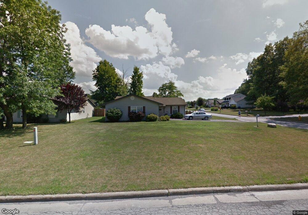
5153 Winslow Dr Mineral Ridge, OH 44440
Austintown NeighborhoodEstimated Value: $202,344 - $242,000
3
Beds
2
Baths
1,476
Sq Ft
$152/Sq Ft
Est. Value
About This Home
This home is located at 5153 Winslow Dr, Mineral Ridge, OH 44440 and is currently estimated at $223,836, approximately $151 per square foot. 5153 Winslow Dr is a home with nearby schools including Austintown Elementary School, Austintown Intermediate School, and Austintown Middle School.
Ownership History
Date
Name
Owned For
Owner Type
Purchase Details
Closed on
Jun 29, 2022
Sold by
Damico Joette
Bought by
Damico Anthony T
Current Estimated Value
Purchase Details
Closed on
May 5, 1995
Sold by
R J Bertelli Const
Bought by
D'Amico Joette
Home Financials for this Owner
Home Financials are based on the most recent Mortgage that was taken out on this home.
Original Mortgage
$70,700
Interest Rate
7.95%
Mortgage Type
New Conventional
Purchase Details
Closed on
Mar 25, 1994
Bought by
Bertelli R J Constr Co
Create a Home Valuation Report for This Property
The Home Valuation Report is an in-depth analysis detailing your home's value as well as a comparison with similar homes in the area
Home Values in the Area
Average Home Value in this Area
Purchase History
| Date | Buyer | Sale Price | Title Company |
|---|---|---|---|
| Damico Anthony T | -- | -- | |
| D'Amico Joette | $88,400 | -- | |
| Bertelli R J Constr Co | $30,000 | -- |
Source: Public Records
Mortgage History
| Date | Status | Borrower | Loan Amount |
|---|---|---|---|
| Previous Owner | D'Amico Joette | $70,700 |
Source: Public Records
Tax History Compared to Growth
Tax History
| Year | Tax Paid | Tax Assessment Tax Assessment Total Assessment is a certain percentage of the fair market value that is determined by local assessors to be the total taxable value of land and additions on the property. | Land | Improvement |
|---|---|---|---|---|
| 2024 | $1,820 | $48,860 | $6,240 | $42,620 |
| 2023 | $1,810 | $48,860 | $6,240 | $42,620 |
| 2022 | $1,617 | $37,200 | $6,240 | $30,960 |
| 2021 | $1,620 | $37,200 | $6,240 | $30,960 |
| 2020 | $1,625 | $37,200 | $6,240 | $30,960 |
| 2019 | $1,566 | $33,400 | $6,240 | $27,160 |
| 2018 | $1,508 | $33,400 | $6,240 | $27,160 |
| 2017 | $1,487 | $33,400 | $6,240 | $27,160 |
| 2016 | $1,455 | $32,610 | $6,240 | $26,370 |
| 2015 | $1,412 | $32,610 | $6,240 | $26,370 |
| 2014 | $1,417 | $32,610 | $6,240 | $26,370 |
| 2013 | $1,401 | $32,610 | $6,240 | $26,370 |
Source: Public Records
Map
Nearby Homes
- 1239 Woodledge Dr
- 5085 Winslow Dr
- 1757 E County Line Rd
- 0 W Webb Rd
- 1467 E County Line Rd
- 21 E Liberty St
- 1445 E County Line Rd
- 1458 Lincoln Ave
- 1684 Morris St
- 3872 Main St
- 3907 Edwards St
- 3579 Bee St
- 6360 Meander Glen Dr
- 6393 Meander Glen Dr
- 3474 S Main St
- 2169 Salt Springs Rd
- 5231 W Rockwell Rd
- 176 N Canfield Niles Rd
- 3440 Lakeside Dr
- 236 Charlestown Place
- 5149 Winslow Dr
- 5150 Pine Shadow Ct
- 5145 Winslow Dr
- 1257 Cedarwood Dr
- 1240 Cedarwood Dr
- 5142 Pine Shadow Ct
- 1244 Cedarwood Dr
- 5141 Winslow Dr
- 1230 Cedarwood Dr
- 1261 Cedarwood Dr
- 1248 Cedarwood Dr
- 5134 Pine Shadow Ct
- 5142 Winslow Dr
- 5137 Winslow Dr
- 1218 Cedarwood Dr
- 1225 Cedarwood Dr
- 1251 Woodledge Dr
- 1252 Cedarwood Dr
- 1247 Woodledge Dr
- 1265 Cedarwood Dr