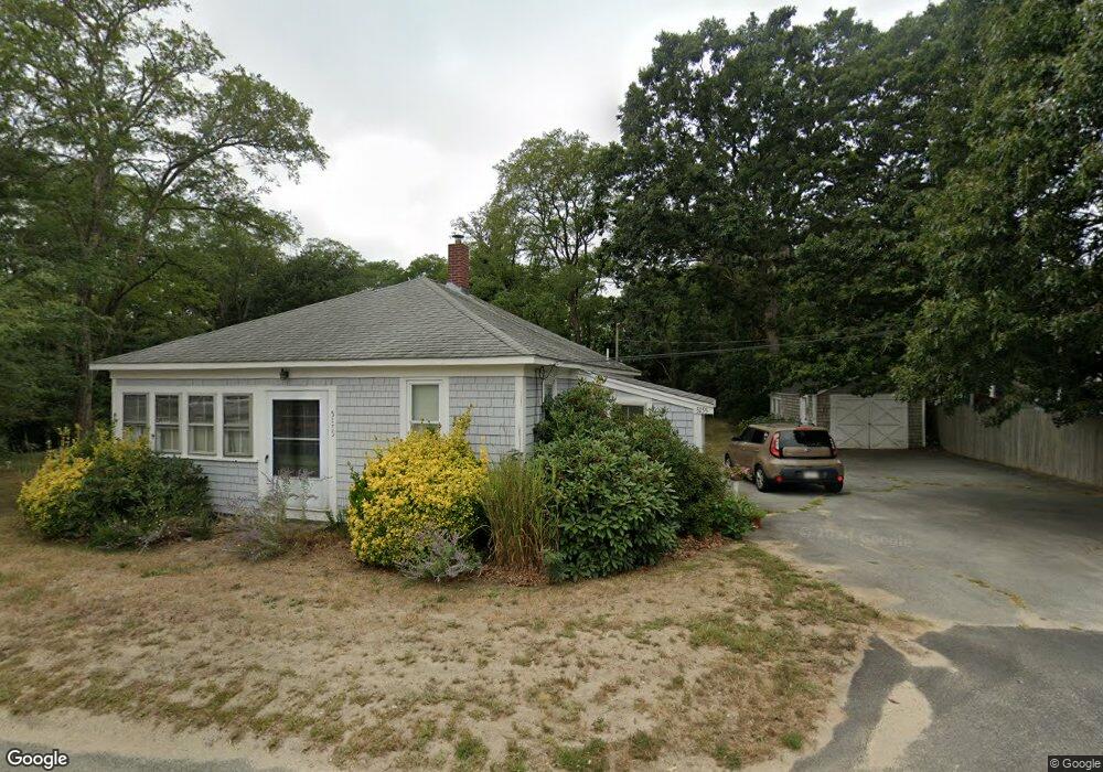
5155 State Hwy Eastham, MA 02642
Estimated Value: $561,172 - $633,000
3
Beds
2
Baths
1,269
Sq Ft
$477/Sq Ft
Est. Value
About This Home
This home is located at 5155 State Hwy, Eastham, MA 02642 and is currently estimated at $604,793, approximately $476 per square foot. 5155 State Hwy is a home located in Barnstable County with nearby schools including Eastham Elementary School, Nauset Regional Middle School, and Nauset Regional High School.
Create a Home Valuation Report for This Property
The Home Valuation Report is an in-depth analysis detailing your home's value as well as a comparison with similar homes in the area
Home Values in the Area
Average Home Value in this Area
Tax History
| Year | Tax Paid | Tax Assessment Tax Assessment Total Assessment is a certain percentage of the fair market value that is determined by local assessors to be the total taxable value of land and additions on the property. | Land | Improvement |
|---|---|---|---|---|
| 2025 | $3,063 | $397,300 | $140,400 | $256,900 |
| 2024 | $2,704 | $385,800 | $136,300 | $249,500 |
| 2023 | $2,489 | $343,800 | $126,200 | $217,600 |
| 2022 | $2,313 | $269,600 | $112,700 | $156,900 |
| 2021 | $2,252 | $245,300 | $102,400 | $142,900 |
| 2020 | $2,078 | $238,300 | $104,500 | $133,800 |
| 2019 | $1,911 | $231,600 | $101,500 | $130,100 |
| 2018 | $1,878 | $224,900 | $98,500 | $126,400 |
| 2017 | $1,743 | $220,600 | $96,600 | $124,000 |
| 2016 | $1,626 | $218,500 | $96,600 | $121,900 |
| 2015 | $1,514 | $213,200 | $94,700 | $118,500 |
Source: Public Records
Map
Nearby Homes
- 5470 State Hwy
- 100 Gigi Ln
- 20 Oak Rd
- 49 Village Ln
- 10 Bradford Ln
- 46 Spring Brook Rd
- 255 Massasoit Rd
- 340 Salt Works Rd
- 85 Huckleberry Ln
- 25 Forrest Ave
- 82 Old Orchard Rd
- 157 Brownell Rd
- 245 Nauset Light Beach Rd
- 135 Nauset Light Beach Rd
- 315 Candlewood Dr
- 70 Deerfield Ln
- 90 Blue Heron Rd
- 20 Redberry Ln
- 600 Kingsbury Beach Rd
- 2705 State Hwy