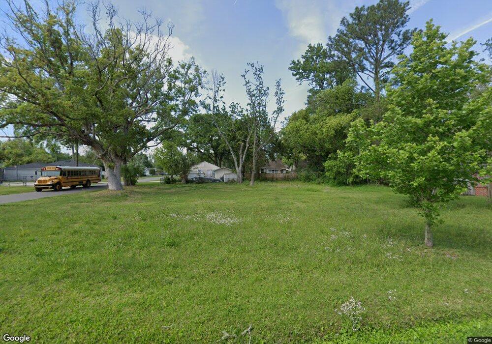
5159 Sunderland Rd Jacksonville, FL 32210
Lakeshore NeighborhoodEstimated Value: $88,000 - $412,000
2
Beds
1
Bath
1,572
Sq Ft
$145/Sq Ft
Est. Value
About This Home
This home is located at 5159 Sunderland Rd, Jacksonville, FL 32210 and is currently estimated at $227,667, approximately $144 per square foot. 5159 Sunderland Rd is a home located in Duval County with nearby schools including Bayview Elementary School, Andros Karperos, and Lake Shore Middle School.
Ownership History
Date
Name
Owned For
Owner Type
Purchase Details
Closed on
Feb 9, 2022
Sold by
County Of Duval
Bought by
Miami Holding 1 Llc
Current Estimated Value
Purchase Details
Closed on
Nov 26, 1997
Sold by
Aspinwall Michelle M and Aspinwall Richard V
Bought by
Moore Richard S and Moore Trista M
Home Financials for this Owner
Home Financials are based on the most recent Mortgage that was taken out on this home.
Original Mortgage
$64,650
Interest Rate
7.35%
Mortgage Type
FHA
Create a Home Valuation Report for This Property
The Home Valuation Report is an in-depth analysis detailing your home's value as well as a comparison with similar homes in the area
Home Values in the Area
Average Home Value in this Area
Purchase History
| Date | Buyer | Sale Price | Title Company |
|---|---|---|---|
| Miami Holding 1 Llc | $112,200 | None Listed On Document | |
| Miami Holding 1 Llc | $112,200 | None Listed On Document | |
| Moore Richard S | $64,400 | -- |
Source: Public Records
Mortgage History
| Date | Status | Borrower | Loan Amount |
|---|---|---|---|
| Previous Owner | Moore Richard S | $64,650 |
Source: Public Records
Tax History Compared to Growth
Tax History
| Year | Tax Paid | Tax Assessment Tax Assessment Total Assessment is a certain percentage of the fair market value that is determined by local assessors to be the total taxable value of land and additions on the property. | Land | Improvement |
|---|---|---|---|---|
| 2025 | $1,201 | $67,200 | $67,200 | -- |
| 2024 | $1,201 | $67,200 | $67,200 | -- |
| 2023 | $1,207 | $67,200 | $67,200 | $0 |
| 2022 | $939 | $60,000 | $60,000 | $0 |
| 2021 | $840 | $48,000 | $48,000 | $0 |
| 2020 | $2,223 | $121,466 | $48,000 | $73,466 |
| 2019 | $2,136 | $121,266 | $48,000 | $73,266 |
| 2018 | $1,859 | $91,413 | $26,400 | $65,013 |
| 2017 | $1,813 | $87,816 | $24,000 | $63,816 |
| 2016 | $764 | $62,906 | $0 | $0 |
| 2015 | $773 | $62,469 | $0 | $0 |
| 2014 | $777 | $61,974 | $0 | $0 |
Source: Public Records
Map
Nearby Homes
- 5146 Sunderland Rd
- 5128 Sunderland Rd
- 5213 Birkenhead Rd
- 5202 Birkenhead Rd
- 2347 Lake Shore Blvd
- 5246 Sunderland Rd
- 5044 Sunderland Rd
- 5044 Colonial Ave
- 5106 Appleton Ave
- 5026 Colonial Ave
- 5316 Colonial Ave
- 5315 Colonial Ave
- 5332 Colonial Ave
- 4845 Sunderland Rd
- 5133 Palmer Ave
- 3434 Blanding Blvd Unit 101
- 3434 Blanding Blvd Unit 124
- 3434 Blanding Blvd Unit 122
- 3434 Blanding Blvd Unit 201
- 3434 Blanding Blvd Unit 215
- 5138 Sunderland Rd
- 5140 Sunderland Rd
- 5146 Sunderland Rd
- 5122 Sunderland Rd
- 5133 Birkenhead Rd
- 5137 Sunderland Rd
- 5147 Birkenhead Rd
- 5152 Sunderland Rd
- 5143 Sunderland Rd
- 5129 Birkenhead Rd
- 5145 Birkenhead Rd
- 5145 Sunderland Rd
- 5129 Sunderland Rd
- 5133 Sunderland Rd
- 5156 Sunderland Rd
- 5116 Sunderland Rd
- 5125 Birkenhead Rd
- 5163 Birkenhead Rd
- 5123 Sunderland Rd
- 5119 Birkenhead Rd