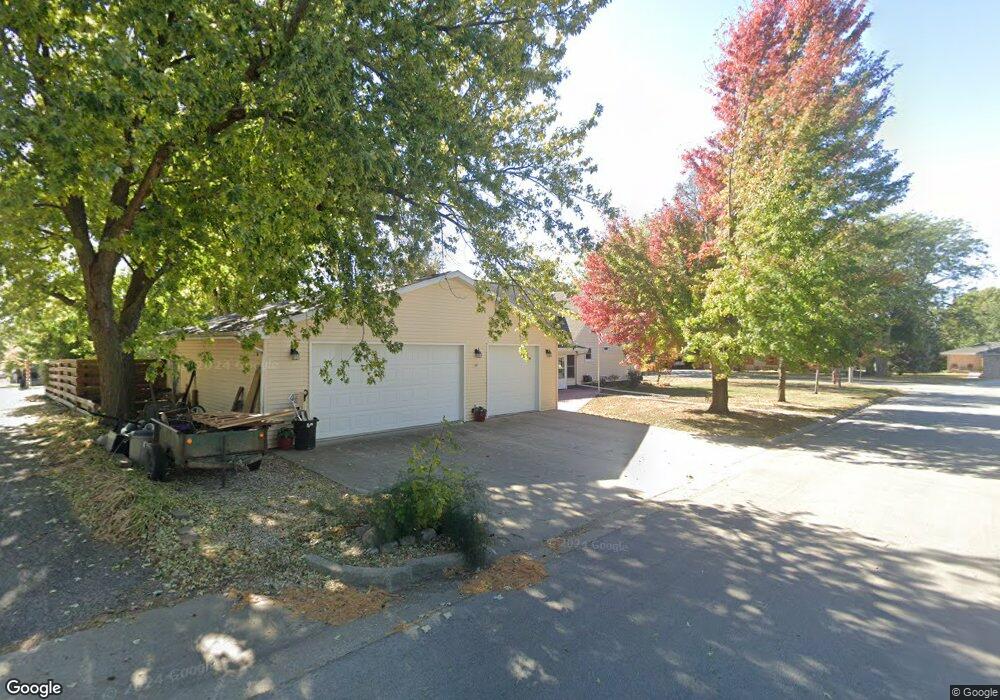
516 Maple St Aurelia, IA 51005
Estimated Value: $183,000 - $237,000
4
Beds
2
Baths
2,394
Sq Ft
$88/Sq Ft
Est. Value
About This Home
This home is located at 516 Maple St, Aurelia, IA 51005 and is currently estimated at $211,520, approximately $88 per square foot. 516 Maple St is a home located in Cherokee County with nearby schools including Aurelia Elementary, Alta-Aurelia Middle School, and Alta Aurelia High School.
Ownership History
Date
Name
Owned For
Owner Type
Purchase Details
Closed on
Apr 25, 2014
Sold by
Conover Steven C and Conover Kimberly A
Bought by
Harms Douglas J and Harms Sherry R
Current Estimated Value
Home Financials for this Owner
Home Financials are based on the most recent Mortgage that was taken out on this home.
Original Mortgage
$108,800
Outstanding Balance
$72,942
Interest Rate
4.33%
Mortgage Type
New Conventional
Estimated Equity
$138,578
Create a Home Valuation Report for This Property
The Home Valuation Report is an in-depth analysis detailing your home's value as well as a comparison with similar homes in the area
Purchase History
| Date | Buyer | Sale Price | Title Company |
|---|---|---|---|
| Harms Douglas J | $136,000 | None Available |
Source: Public Records
Mortgage History
| Date | Status | Borrower | Loan Amount |
|---|---|---|---|
| Open | Harms Douglas J | $108,800 |
Source: Public Records
Tax History
| Year | Tax Paid | Tax Assessment Tax Assessment Total Assessment is a certain percentage of the fair market value that is determined by local assessors to be the total taxable value of land and additions on the property. | Land | Improvement |
|---|---|---|---|---|
| 2025 | $2,584 | $214,180 | $11,030 | $203,150 |
| 2024 | $2,584 | $200,490 | $11,030 | $189,460 |
| 2023 | $1,940 | $200,490 | $11,030 | $189,460 |
| 2022 | $1,810 | $141,840 | $11,030 | $130,810 |
| 2021 | $1,810 | $141,840 | $11,030 | $130,810 |
| 2020 | $1,980 | $141,840 | $11,030 | $130,810 |
| 2019 | $2,042 | $141,840 | $0 | $0 |
| 2018 | $2,208 | $156,176 | $0 | $0 |
| 2017 | $2,184 | $156,176 | $0 | $0 |
| 2016 | $2,150 | $156,176 | $0 | $0 |
| 2015 | $1,452 | $105,556 | $0 | $0 |
| 2014 | $1,452 | $105,556 | $0 | $0 |
Source: Public Records
Map
Nearby Homes
- 412 Spruce St
- 409 Spruce St
- 624 E 5th St
- 5377 W Ave
- 865 Aster Dr
- Lot 30 Amber Dr
- 304 Sequoia Dr
- 411 Ash St
- 406 Ash St
- 225 E Maple St
- 612 Sherman Ave
- 918 N Roosevelt Ave
- 119 E Cherry St
- 222 & 224 W Elm St
- 414 Valley View Dr Unit B
- 2285 490th St
- 212 E Spruce St
- 406 S Craig Dr
- 430 W Cedar St
- 524 W Elm St
Your Personal Tour Guide
Ask me questions while you tour the home.