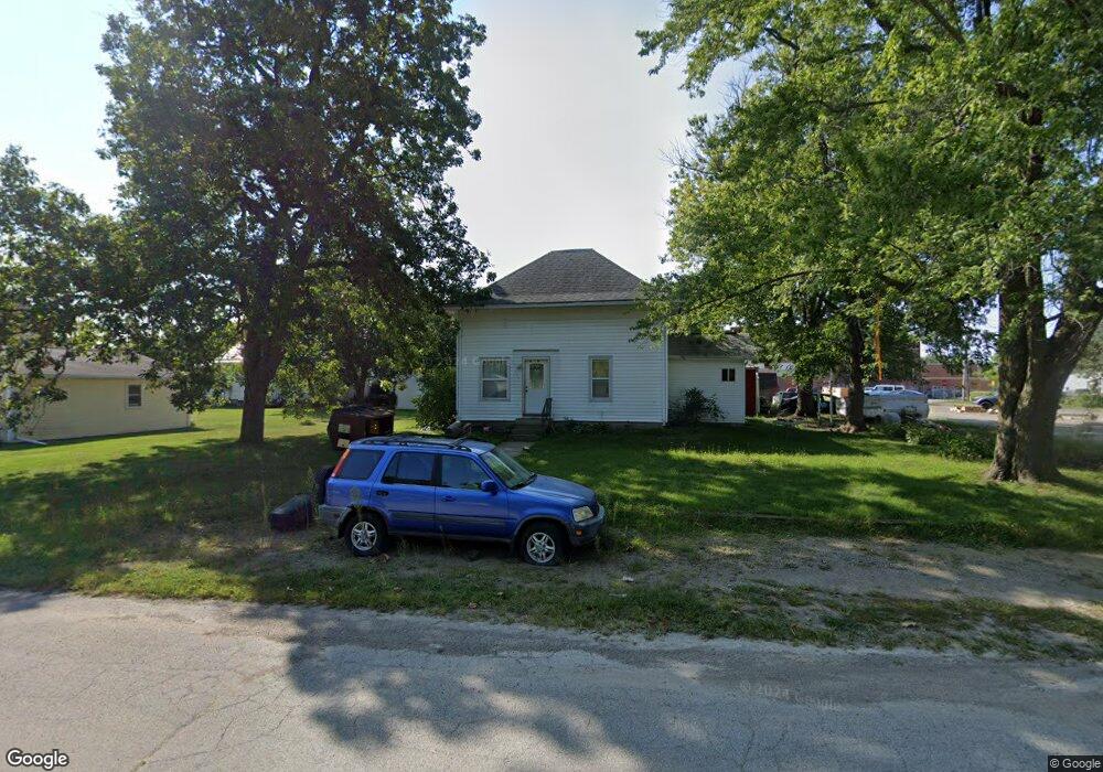
517 Gamble St Columbus Junction, IA 52738
Estimated Value: $65,000 - $1,266,015
3
Beds
1
Bath
1,084
Sq Ft
$370/Sq Ft
Est. Value
About This Home
This home is located at 517 Gamble St, Columbus Junction, IA 52738 and is currently estimated at $401,254, approximately $370 per square foot. 517 Gamble St is a home located in Louisa County with nearby schools including Roundy Elementary School and Columbus Community High School.
Ownership History
Date
Name
Owned For
Owner Type
Purchase Details
Closed on
Apr 1, 2016
Sold by
Molle Joellen
Bought by
Lanz Daniel J and Lanz Autumn
Current Estimated Value
Home Financials for this Owner
Home Financials are based on the most recent Mortgage that was taken out on this home.
Original Mortgage
$280,000
Outstanding Balance
$120,766
Interest Rate
3.65%
Mortgage Type
New Conventional
Estimated Equity
$280,488
Purchase Details
Closed on
Nov 3, 2005
Sold by
West Juanita A
Bought by
Castillo Ramiro and Castillo Mariana
Home Financials for this Owner
Home Financials are based on the most recent Mortgage that was taken out on this home.
Original Mortgage
$60,000
Interest Rate
5.98%
Mortgage Type
New Conventional
Purchase Details
Closed on
Jul 7, 2005
Sold by
Everett Andrew J
Bought by
West Juanita A
Create a Home Valuation Report for This Property
The Home Valuation Report is an in-depth analysis detailing your home's value as well as a comparison with similar homes in the area
Purchase History
| Date | Buyer | Sale Price | Title Company |
|---|---|---|---|
| Lanz Daniel J | $700,000 | None Available | |
| Castillo Ramiro | $60,000 | None Available | |
| West Juanita A | $57,000 | None Available |
Source: Public Records
Mortgage History
| Date | Status | Borrower | Loan Amount |
|---|---|---|---|
| Open | Lanz Daniel J | $280,000 | |
| Previous Owner | Castillo Ramiro | $60,000 | |
| Closed | West Juanita A | $0 |
Source: Public Records
Tax History
| Year | Tax Paid | Tax Assessment Tax Assessment Total Assessment is a certain percentage of the fair market value that is determined by local assessors to be the total taxable value of land and additions on the property. | Land | Improvement |
|---|---|---|---|---|
| 2025 | $990 | $84,960 | $19,090 | $65,870 |
| 2024 | $970 | $73,780 | $19,090 | $54,690 |
| 2023 | $1,066 | $73,780 | $19,090 | $54,690 |
| 2022 | $1,026 | $68,110 | $19,090 | $49,020 |
| 2021 | $922 | $68,110 | $19,090 | $49,020 |
| 2020 | $922 | $57,920 | $19,090 | $38,830 |
| 2019 | $1,006 | $57,920 | $19,090 | $38,830 |
| 2018 | $974 | $57,920 | $19,090 | $38,830 |
| 2017 | $980 | $53,670 | $0 | $0 |
| 2016 | $986 | $53,670 | $11,380 | $42,290 |
| 2015 | $986 | $53,670 | $11,380 | $42,290 |
| 2014 | $938 | $53,670 | $11,380 | $42,290 |
Source: Public Records
Map
Nearby Homes
- 314 Springer Ave
- 824 3rd St
- 1233 Ridge Rd
- 409 2nd St
- 000 County Road X-17
- 2902 Water St
- 260 Colonels Dr
- 1206 Concord St
- 24538 118th St
- 00 140th St
- 000 140th St
- 17297 Highway 92
- 17297 Iowa 92
- 17297 State Hwy 92
- 9996 W Ave
- 19523 V Ave
- 17525 115th St
- 000 Louisa-Washington Rd
- 18149 County Road X43
- 340 E Main St
Your Personal Tour Guide
Ask me questions while you tour the home.