517 W Jolly Rd Unit Bldg-Unit Lansing, MI 48910
Southern Lansing NeighborhoodEstimated Value: $605,535
--
Bed
--
Bath
17,160
Sq Ft
$35/Sq Ft
Est. Value
About This Home
This home is located at 517 W Jolly Rd Unit Bldg-Unit, Lansing, MI 48910 and is currently estimated at $605,535, approximately $35 per square foot. 517 W Jolly Rd Unit Bldg-Unit is a home located in Ingham County with nearby schools including Kendon School, Attwood School, and Everett High School.
Ownership History
Date
Name
Owned For
Owner Type
Purchase Details
Closed on
Feb 22, 2018
Sold by
The Board Of Trustees West Michigan Conf
Bought by
The Epicenter Of Worship Church
Current Estimated Value
Home Financials for this Owner
Home Financials are based on the most recent Mortgage that was taken out on this home.
Original Mortgage
$214,411
Outstanding Balance
$181,814
Interest Rate
4.04%
Mortgage Type
Commercial
Estimated Equity
$423,721
Purchase Details
Closed on
Apr 1, 2016
Sold by
Christ Methodist
Bought by
The Board Of Trustees West Michigan Cofe
Create a Home Valuation Report for This Property
The Home Valuation Report is an in-depth analysis detailing your home's value as well as a comparison with similar homes in the area
Home Values in the Area
Average Home Value in this Area
Purchase History
| Date | Buyer | Sale Price | Title Company |
|---|---|---|---|
| The Epicenter Of Worship Church | $300,000 | None Available | |
| The Board Of Trustees West Michigan Cofe | -- | None Available |
Source: Public Records
Mortgage History
| Date | Status | Borrower | Loan Amount |
|---|---|---|---|
| Open | The Epicenter Of Worship Church | $214,411 |
Source: Public Records
Tax History Compared to Growth
Tax History
| Year | Tax Paid | Tax Assessment Tax Assessment Total Assessment is a certain percentage of the fair market value that is determined by local assessors to be the total taxable value of land and additions on the property. | Land | Improvement |
|---|---|---|---|---|
| 2025 | -- | $0 | $0 | $0 |
| 2024 | $775 | $0 | $0 | $0 |
| 2023 | $775 | $0 | $0 | $0 |
| 2022 | $60 | $0 | $0 | $0 |
| 2021 | $0 | $0 | $0 | $0 |
| 2020 | $0 | $0 | $0 | $0 |
| 2019 | $0 | $0 | $0 | $0 |
| 2018 | $0 | $0 | $0 | $0 |
| 2017 | $0 | $0 | $0 | $0 |
| 2016 | -- | $0 | $0 | $0 |
| 2015 | -- | $355,542 | $355,542 | $0 |
| 2014 | -- | $355,542 | $355,542 | $0 |
Source: Public Records
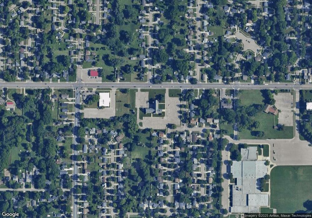
Map
Nearby Homes
- 5006 Delbrook Ave
- 5026 Delray Dr Unit A
- 4935 Delray Dr
- 833 Dornell Ave
- 4800 Ora St
- 5011 Stafford Ave
- 0 W Jolly Rd
- 129 Village Dr
- 5636 Ellendale Dr
- 1014 W Northrup St
- 201 E Syringa Dr
- 105 Cox Blvd
- 4407 Burchfield Ave
- 600 W Cavanaugh Rd
- 111 E Potter Ave
- 5821 Schafer Rd
- 201 W Graham Ave
- 1324 N Briarfield Dr
- 5727 Annapolis Dr
- 4125 Lowcroft Ave