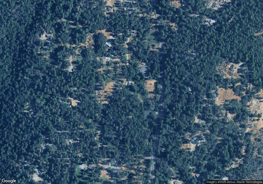
5171 Gun Smoke Rd Georgetown, CA 95634
Estimated Value: $368,000 - $509,467
4
Beds
2
Baths
2,152
Sq Ft
$199/Sq Ft
Est. Value
About This Home
This home is located at 5171 Gun Smoke Rd, Georgetown, CA 95634 and is currently estimated at $428,117, approximately $198 per square foot. 5171 Gun Smoke Rd is a home located in El Dorado County with nearby schools including Georgetown Elementary School, Golden Sierra Junior Senior High, and American River Charter School.
Ownership History
Date
Name
Owned For
Owner Type
Purchase Details
Closed on
Aug 29, 2018
Sold by
Tyler Wiliam James and Tyler William J
Bought by
Tyler William James
Current Estimated Value
Purchase Details
Closed on
Apr 21, 2011
Sold by
Tyler Mary S and Tyler Mary Susan
Bought by
Tyler William J
Purchase Details
Closed on
Dec 20, 1993
Sold by
Carthew Gregory L and Carthew Janice Bray
Bought by
Tyler William James and Tyler Mary Susan
Home Financials for this Owner
Home Financials are based on the most recent Mortgage that was taken out on this home.
Original Mortgage
$141,947
Interest Rate
7.09%
Mortgage Type
FHA
Create a Home Valuation Report for This Property
The Home Valuation Report is an in-depth analysis detailing your home's value as well as a comparison with similar homes in the area
Home Values in the Area
Average Home Value in this Area
Purchase History
| Date | Buyer | Sale Price | Title Company |
|---|---|---|---|
| Tyler William James | -- | None Available | |
| Tyler William J | -- | None Available | |
| Tyler William James | $143,000 | First American Title Co |
Source: Public Records
Mortgage History
| Date | Status | Borrower | Loan Amount |
|---|---|---|---|
| Closed | Tyler William James | $141,947 |
Source: Public Records
Tax History Compared to Growth
Tax History
| Year | Tax Paid | Tax Assessment Tax Assessment Total Assessment is a certain percentage of the fair market value that is determined by local assessors to be the total taxable value of land and additions on the property. | Land | Improvement |
|---|---|---|---|---|
| 2025 | $2,616 | $243,008 | $76,459 | $166,549 |
| 2024 | $2,616 | $238,244 | $74,960 | $163,284 |
| 2023 | $2,565 | $233,574 | $73,491 | $160,083 |
| 2022 | $2,525 | $228,995 | $72,050 | $156,945 |
| 2021 | $2,483 | $224,506 | $70,638 | $153,868 |
| 2020 | $2,451 | $222,205 | $69,914 | $152,291 |
| 2019 | $2,407 | $217,849 | $68,544 | $149,305 |
| 2018 | $2,338 | $213,578 | $67,200 | $146,378 |
| 2017 | $2,293 | $209,391 | $65,883 | $143,508 |
| 2016 | $2,252 | $205,287 | $64,592 | $140,695 |
| 2015 | $2,174 | $202,206 | $63,623 | $138,583 |
| 2014 | $2,174 | $198,247 | $62,378 | $135,869 |
Source: Public Records
Map
Nearby Homes
- 5010 Hope Mountain Rd
- 2080 Daffodil Ln
- 6461 Forest View Dr
- 3795 Shoemaker Rd
- 4046 Empire Creek Cir
- 4797 Opossum Path
- 4271 Marshall Rd
- 3238 South St
- Lot 1 Harkness St
- 6313 State Highway 193
- 6655 Orleans St
- 5743 State Highway 193
- 3400 Graybar Mine Rd
- 5681 California 193
- 4594 Ingot Ln
- 7684 State Highway 193
- 2027 Red Rd
- 3010 Evergreen Ct
- 5680 Honeysuckle Cir
- 6141 California 193
- 6905 State Highway 193
- 5200 Gun Smoke Rd
- 5130 Gun Smoke Rd
- 6957 State Highway 193
- 5120 Gun Smoke Rd
- 7021 Fools Canyon Rd
- 6911 Fools Canyon Rd
- 6931 Fools Canyon Rd
- 6951 Fools Canyon Rd
- 4701 Bear Creek Heights
- 6981 Fools Canyon Rd
- 3740 Bear Creek Rd
- 4700 Bear Creek Heights
- 6885 Florallan Ct
- 6881 Allwood Dr
- 6990 Fools Canyon Rd
- 4717 Bear Creek Heights
- 6921 Florallan Rd
- 5050 Hope Mountain Rd
- 0 Allwood Dr Unit 20046879
