5178 Bronco Dr Clarkston, MI 48346
Estimated Value: $388,000 - $442,000
3
Beds
2
Baths
1,946
Sq Ft
$212/Sq Ft
Est. Value
About This Home
This home is located at 5178 Bronco Dr, Clarkston, MI 48346 and is currently estimated at $412,204, approximately $211 per square foot. 5178 Bronco Dr is a home located in Oakland County with nearby schools including Springfield Christian Academy, Our Lady Of The Lakes Catholic School, and Everest Academy.
Ownership History
Date
Name
Owned For
Owner Type
Purchase Details
Closed on
Feb 15, 2013
Sold by
Russo Perry Silvio
Bought by
Powers Shelley Kay
Current Estimated Value
Purchase Details
Closed on
May 24, 1996
Sold by
Shalla Joseph D
Bought by
Russo Perry S
Home Financials for this Owner
Home Financials are based on the most recent Mortgage that was taken out on this home.
Original Mortgage
$110,000
Interest Rate
8.29%
Mortgage Type
Purchase Money Mortgage
Create a Home Valuation Report for This Property
The Home Valuation Report is an in-depth analysis detailing your home's value as well as a comparison with similar homes in the area
Home Values in the Area
Average Home Value in this Area
Purchase History
| Date | Buyer | Sale Price | Title Company |
|---|---|---|---|
| Powers Shelley Kay | -- | None Available | |
| Russo Perry S | $205,000 | -- |
Source: Public Records
Mortgage History
| Date | Status | Borrower | Loan Amount |
|---|---|---|---|
| Previous Owner | Russo Perry S | $110,000 |
Source: Public Records
Tax History Compared to Growth
Tax History
| Year | Tax Paid | Tax Assessment Tax Assessment Total Assessment is a certain percentage of the fair market value that is determined by local assessors to be the total taxable value of land and additions on the property. | Land | Improvement |
|---|---|---|---|---|
| 2024 | $2,608 | $177,900 | $55,500 | $122,400 |
| 2023 | $3,516 | $162,200 | $50,500 | $111,700 |
| 2022 | $3,588 | $145,100 | $26,200 | $118,900 |
| 2021 | $3,597 | $140,000 | $26,300 | $113,700 |
| 2020 | $2,277 | $127,000 | $25,600 | $101,400 |
| 2018 | $3,396 | $123,900 | $25,400 | $98,500 |
| 2015 | -- | $100,600 | $0 | $0 |
| 2014 | -- | $97,500 | $0 | $0 |
| 2011 | -- | $122,300 | $0 | $0 |
Source: Public Records
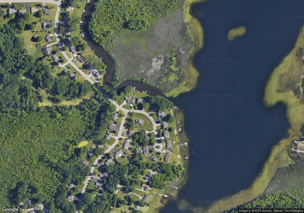
Map
Nearby Homes
- 5021 Paula Ave
- 5690 White Lake Rd
- 4619 Curtis Ln
- 6788 Balmoral Terrace
- 6689 Andersonville Rd
- 7490 Andersonville Rd
- 4602 Curtis Ln
- 6629 Andersonville Rd Unit A8
- 6723 Andersonville Rd Unit E42
- 6832 Northcrest Way E Unit 31
- 7314 Village Park Dr Unit 47
- 6685 Windiate Rd
- 7509 Maple Ridge Dr
- 6624 Wellesley Terrace
- 7651 Maple Ridge Ct Unit 28
- 6492 Scenic Pines Ct Unit 16
- The Franklin II Plan at Park Ridge at Stonewood
- 7541 Maple Ridge Dr
- 6600 Trillium Village Ln
- 7118 Oak Ridge Ct
- 5166 Bronco Dr
- 5190 Bronco Dr
- 5067 Bronco Dr
- 5154 Bronco Dr
- 5104 Bronco Dr
- 5142 Bronco Dr
- 5078 Paula Ave
- 5095 Paula Ave
- 5130 Bronco Dr
- 5058 Paula Ave
- 5029 Bronco Dr
- 5075 Paula Ave
- 5012 Bronco Dr
- 5011 Bronco Dr
- 5055 Paula Ave
- 5156 Bronco Dr
- 5035 Paula Ave
- 5046 Paula Ave
- 4948 Hillcrest Dr
- 5022 Paula Ave