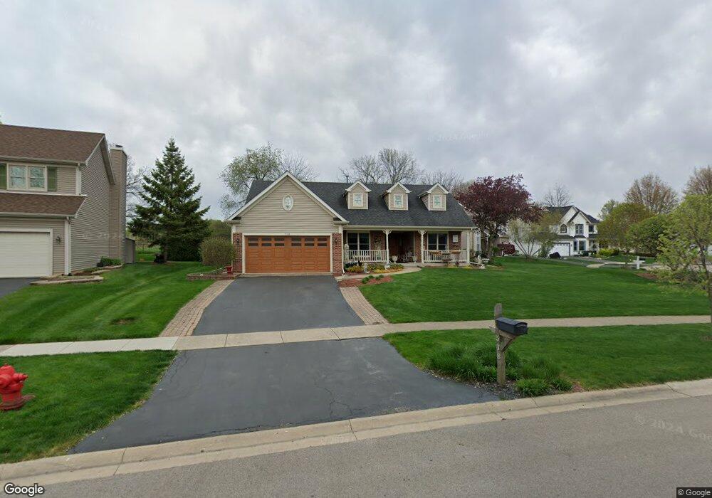
518 Bede Cir North Aurora, IL 60542
Estimated Value: $390,000 - $425,000
3
Beds
--
Bath
1,636
Sq Ft
$250/Sq Ft
Est. Value
About This Home
This home is located at 518 Bede Cir, North Aurora, IL 60542 and is currently estimated at $408,695, approximately $249 per square foot. 518 Bede Cir is a home located in Kane County with nearby schools including Schneider Elementary School, Herget Middle School, and West Aurora High School.
Ownership History
Date
Name
Owned For
Owner Type
Purchase Details
Closed on
Sep 18, 2017
Sold by
Broholm Allan A and Ritter Broholm Judy A
Bought by
Broholm Allan A and Ritter Broholm Judy A
Current Estimated Value
Purchase Details
Closed on
Jul 28, 1995
Sold by
Windham Deerpoint Joint Venture
Bought by
Broholm Allan A
Home Financials for this Owner
Home Financials are based on the most recent Mortgage that was taken out on this home.
Original Mortgage
$155,000
Interest Rate
7.3%
Create a Home Valuation Report for This Property
The Home Valuation Report is an in-depth analysis detailing your home's value as well as a comparison with similar homes in the area
Home Values in the Area
Average Home Value in this Area
Purchase History
| Date | Buyer | Sale Price | Title Company |
|---|---|---|---|
| Broholm Allan A | -- | None Available | |
| Broholm Allan A | $172,000 | Chicago Title Insurance Co |
Source: Public Records
Mortgage History
| Date | Status | Borrower | Loan Amount |
|---|---|---|---|
| Closed | Broholm Allan A | $155,000 | |
| Closed | Broholm Allan A | $6 |
Source: Public Records
Tax History Compared to Growth
Tax History
| Year | Tax Paid | Tax Assessment Tax Assessment Total Assessment is a certain percentage of the fair market value that is determined by local assessors to be the total taxable value of land and additions on the property. | Land | Improvement |
|---|---|---|---|---|
| 2024 | $7,464 | $115,297 | $30,623 | $84,674 |
| 2023 | $7,213 | $104,645 | $27,794 | $76,851 |
| 2022 | $7,173 | $97,799 | $25,976 | $71,823 |
| 2021 | $6,950 | $92,753 | $24,636 | $68,117 |
| 2020 | $6,917 | $90,970 | $24,162 | $66,808 |
| 2019 | $6,977 | $87,750 | $23,307 | $64,443 |
| 2018 | $6,900 | $84,407 | $22,419 | $61,988 |
| 2017 | $6,834 | $81,624 | $21,680 | $59,944 |
| 2016 | $6,804 | $79,247 | $21,049 | $58,198 |
| 2015 | -- | $77,443 | $20,570 | $56,873 |
| 2014 | -- | $75,006 | $19,923 | $55,083 |
| 2013 | -- | $78,426 | $24,418 | $54,008 |
Source: Public Records
Map
Nearby Homes
- 616 Pinehurst Dr
- 719 Pinecreek Dr
- 810 Columbia Cir Unit 3
- 509 Wingfoot Dr
- 704 Greenbrier Ct
- 221 Linn Ct Unit D
- 215 Dee Rd
- 331 Sussex Ln
- 273 Ridley St
- 203 Lilac Ln
- 733 Wind Energy Pass
- 1716 South Ct
- 114 Briar Ln Unit 2
- 105 April Ln Unit 2
- 2856 Church Rd
- 122 E State St
- 3S201 S Raddant Rd
- 1580 Wind Energy Pass
- 24 S Grant St
- 3058 Preakness Ct