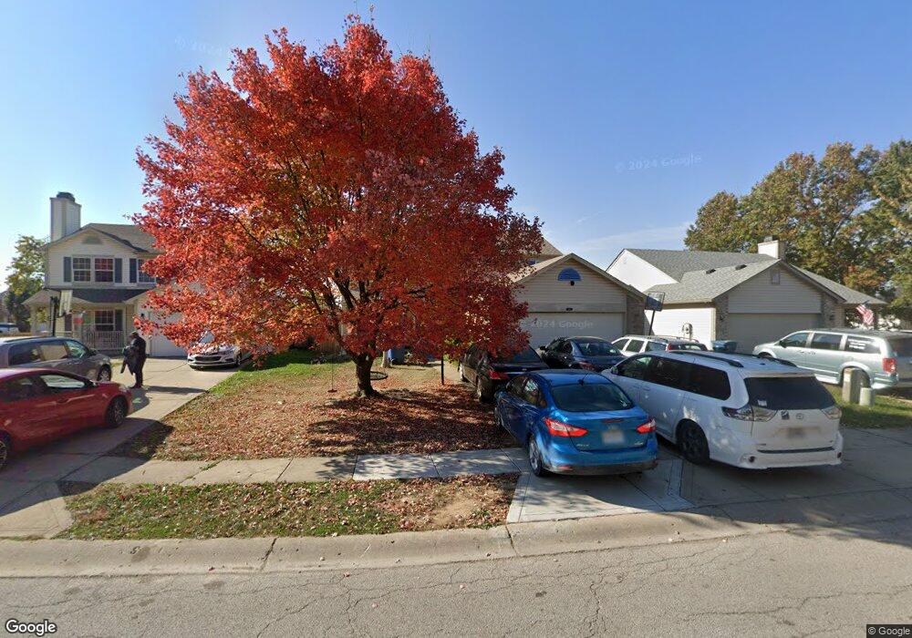
518 Polaris Dr Indianapolis, IN 46241
Chapel Hill-Ben Davis NeighborhoodEstimated Value: $244,000 - $291,000
3
Beds
3
Baths
2,228
Sq Ft
$121/Sq Ft
Est. Value
About This Home
This home is located at 518 Polaris Dr, Indianapolis, IN 46241 and is currently estimated at $270,633, approximately $121 per square foot. 518 Polaris Dr is a home located in Marion County with nearby schools including McClelland Elementary School, Lynhurst 7th & 8th Grade Center, and Ben Davis University High School.
Ownership History
Date
Name
Owned For
Owner Type
Purchase Details
Closed on
Jan 4, 2008
Sold by
Deutsche Bank National Trust Company
Bought by
Malico Investments Llc
Current Estimated Value
Home Financials for this Owner
Home Financials are based on the most recent Mortgage that was taken out on this home.
Original Mortgage
$85,845
Interest Rate
6.27%
Mortgage Type
Purchase Money Mortgage
Purchase Details
Closed on
Dec 21, 2007
Sold by
National City Bank
Bought by
Cerena Jeanne Rodriguez
Home Financials for this Owner
Home Financials are based on the most recent Mortgage that was taken out on this home.
Original Mortgage
$85,845
Interest Rate
6.27%
Mortgage Type
Purchase Money Mortgage
Purchase Details
Closed on
May 30, 2007
Sold by
Hall Roger L and Hall Marie E
Bought by
National City Bank
Create a Home Valuation Report for This Property
The Home Valuation Report is an in-depth analysis detailing your home's value as well as a comparison with similar homes in the area
Home Values in the Area
Average Home Value in this Area
Purchase History
| Date | Buyer | Sale Price | Title Company |
|---|---|---|---|
| Malico Investments Llc | -- | None Available | |
| Cerena Jeanne Rodriguez | $95,000 | None Available | |
| National City Bank | $98,067 | None Available |
Source: Public Records
Mortgage History
| Date | Status | Borrower | Loan Amount |
|---|---|---|---|
| Previous Owner | Malico Investments Llc | $85,845 |
Source: Public Records
Tax History Compared to Growth
Tax History
| Year | Tax Paid | Tax Assessment Tax Assessment Total Assessment is a certain percentage of the fair market value that is determined by local assessors to be the total taxable value of land and additions on the property. | Land | Improvement |
|---|---|---|---|---|
| 2024 | $3,101 | $267,500 | $14,700 | $252,800 |
| 2023 | $3,101 | $257,200 | $14,700 | $242,500 |
| 2022 | $2,862 | $235,200 | $14,700 | $220,500 |
| 2021 | $2,511 | $181,200 | $14,700 | $166,500 |
| 2020 | $2,202 | $160,100 | $14,700 | $145,400 |
| 2019 | $2,078 | $151,700 | $14,700 | $137,000 |
| 2018 | $1,684 | $138,900 | $14,700 | $124,200 |
| 2017 | $1,559 | $129,100 | $14,700 | $114,400 |
| 2016 | $1,435 | $119,100 | $14,700 | $104,400 |
| 2014 | $1,189 | $117,900 | $14,700 | $103,200 |
| 2013 | $1,150 | $114,000 | $14,700 | $99,300 |
Source: Public Records
Map
Nearby Homes
- 6931 Tall Timber Way
- 337 Polaris Dr
- 411 Red Tail Ln
- 7156 Mars Dr
- 7102 Walton St
- 6702 Greendale Ln
- 6702 Jackson St
- 7444 Mount Herman Ave
- 910 Summitcrest Dr
- 6709 Walton St
- 7050 Rockville Rd
- 1113 Delray Dr
- 6706 Balmoral Rd
- 6 Lenora Ave
- 6860 W Morris St
- 6501 Walton St
- 6330 Ida St
- 25 N Brandt St
- 6947 Dunn Way
- 6310 Ida St