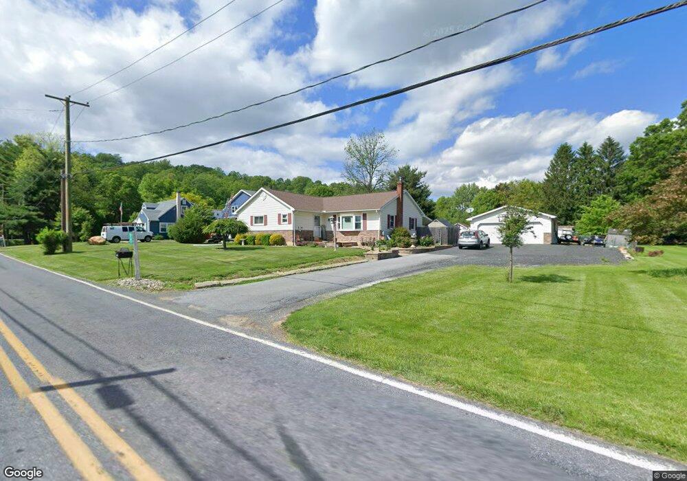
5183 Limeport Rd Emmaus, PA 18049
Upper Milford Township NeighborhoodEstimated Value: $315,677 - $422,000
3
Beds
1
Bath
1,504
Sq Ft
$237/Sq Ft
Est. Value
About This Home
This home is located at 5183 Limeport Rd, Emmaus, PA 18049 and is currently estimated at $355,919, approximately $236 per square foot. 5183 Limeport Rd is a home located in Lehigh County with nearby schools including Lincoln Elementary School, Lower Macungie Middle School, and Emmaus High School.
Ownership History
Date
Name
Owned For
Owner Type
Purchase Details
Closed on
Aug 19, 2016
Sold by
Schuler Catherine M and Schuler Kenneth
Bought by
Makem Thomas S and Flynn Colleen M
Current Estimated Value
Home Financials for this Owner
Home Financials are based on the most recent Mortgage that was taken out on this home.
Original Mortgage
$177,650
Outstanding Balance
$141,423
Interest Rate
3.41%
Mortgage Type
New Conventional
Estimated Equity
$214,496
Purchase Details
Closed on
Jun 12, 2003
Sold by
Schuler Kermit and Schuler Catherine M
Bought by
Schuler Catherine M
Create a Home Valuation Report for This Property
The Home Valuation Report is an in-depth analysis detailing your home's value as well as a comparison with similar homes in the area
Home Values in the Area
Average Home Value in this Area
Purchase History
| Date | Buyer | Sale Price | Title Company |
|---|---|---|---|
| Makem Thomas S | $187,000 | Attorney | |
| Schuler Catherine M | -- | -- |
Source: Public Records
Mortgage History
| Date | Status | Borrower | Loan Amount |
|---|---|---|---|
| Open | Makem Thomas S | $177,650 |
Source: Public Records
Tax History Compared to Growth
Tax History
| Year | Tax Paid | Tax Assessment Tax Assessment Total Assessment is a certain percentage of the fair market value that is determined by local assessors to be the total taxable value of land and additions on the property. | Land | Improvement |
|---|---|---|---|---|
| 2025 | $4,713 | $184,600 | $67,900 | $116,700 |
| 2024 | $4,504 | $184,600 | $67,900 | $116,700 |
| 2023 | $4,413 | $184,600 | $67,900 | $116,700 |
| 2022 | $4,307 | $184,600 | $116,700 | $67,900 |
| 2021 | $4,215 | $184,600 | $67,900 | $116,700 |
| 2020 | $4,174 | $184,600 | $67,900 | $116,700 |
| 2019 | $4,148 | $184,600 | $67,900 | $116,700 |
| 2018 | $4,042 | $184,600 | $67,900 | $116,700 |
| 2017 | $3,970 | $184,600 | $67,900 | $116,700 |
| 2016 | -- | $184,600 | $67,900 | $116,700 |
| 2015 | -- | $184,600 | $67,900 | $116,700 |
| 2014 | -- | $184,600 | $67,900 | $116,700 |
Source: Public Records
Map
Nearby Homes
- 2571 Brunner Rd
- 5031 Hunter Ln
- 97 Chestnut Hill Rd
- 521 Wood St
- 6173 Rizzuto Way Unit Lot 21
- 6175 Rizzuto Way
- 6175 Rizzuto Way Unit Lot 22
- 618 Broad St
- 339 Delong Ave Unit 343
- 6173 LOT 21 Rizzuto Way
- 659 Broad St
- 340 Chestnut Hill Rd
- 6408 Dekrane Dr
- 569 Chestnut St Unit 571
- 4290 Taviston Ct E
- 4285 Taviston Ct E
- 6469 Dekrane Dr Unit 2
- 4314 Taviston Ct E
- 4338 Taviston Ct E Unit Homesite 26
- 657 Walnut St