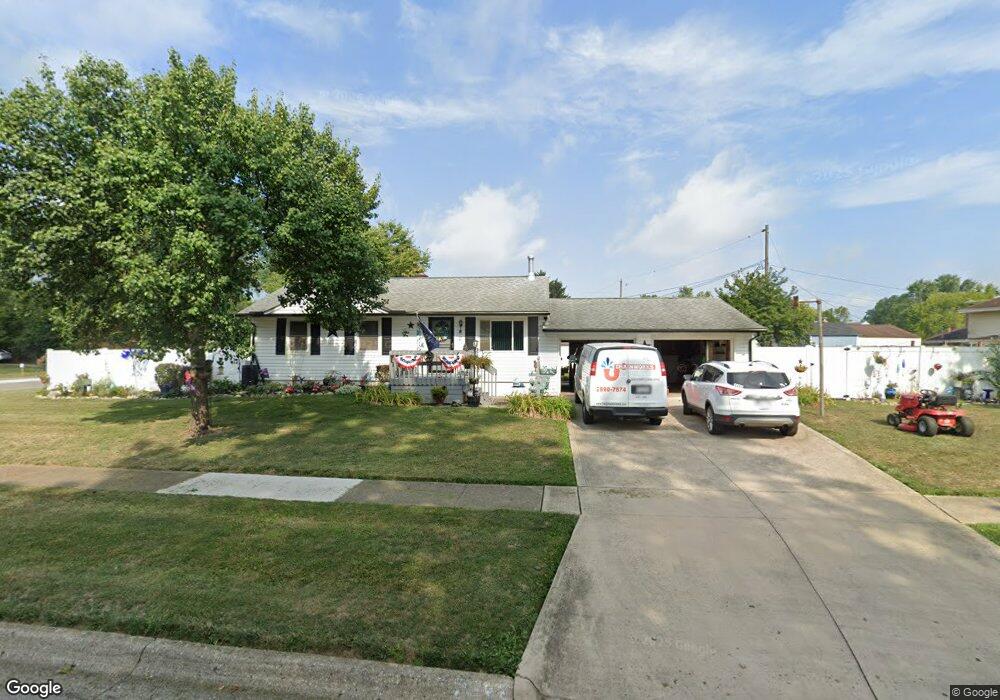
5187 Meadowbrook Dr Columbus, OH 43207
Obetz-Lockbourne NeighborhoodEstimated Value: $201,427 - $287,000
4
Beds
2
Baths
1,950
Sq Ft
$127/Sq Ft
Est. Value
About This Home
This home is located at 5187 Meadowbrook Dr, Columbus, OH 43207 and is currently estimated at $247,607, approximately $126 per square foot. 5187 Meadowbrook Dr is a home located in Franklin County with nearby schools including Hamilton Elementary School, Hamilton Intermediate School, and Hamilton Middle School.
Ownership History
Date
Name
Owned For
Owner Type
Purchase Details
Closed on
Jan 3, 2018
Sold by
Cardin David B and Cardin Lisa K
Bought by
Cardin David B and Cardin Lisa K
Current Estimated Value
Purchase Details
Closed on
Jun 24, 2011
Sold by
Young Beverly A
Bought by
Cardin David B
Purchase Details
Closed on
Mar 29, 1972
Bought by
Young Kenneth P
Create a Home Valuation Report for This Property
The Home Valuation Report is an in-depth analysis detailing your home's value as well as a comparison with similar homes in the area
Home Values in the Area
Average Home Value in this Area
Purchase History
| Date | Buyer | Sale Price | Title Company |
|---|---|---|---|
| Cardin David B | -- | None Available | |
| Cardin David B | $107,000 | Arrow Title | |
| Young Kenneth P | -- | -- |
Source: Public Records
Tax History Compared to Growth
Tax History
| Year | Tax Paid | Tax Assessment Tax Assessment Total Assessment is a certain percentage of the fair market value that is determined by local assessors to be the total taxable value of land and additions on the property. | Land | Improvement |
|---|---|---|---|---|
| 2024 | $3,572 | $78,190 | $19,180 | $59,010 |
| 2023 | $3,554 | $78,190 | $19,180 | $59,010 |
| 2022 | $2,232 | $41,170 | $7,810 | $33,360 |
| 2021 | $2,263 | $41,170 | $7,810 | $33,360 |
| 2020 | $2,304 | $41,170 | $7,810 | $33,360 |
| 2019 | $2,167 | $34,300 | $6,510 | $27,790 |
| 2018 | $2,036 | $34,300 | $6,510 | $27,790 |
| 2017 | $2,042 | $34,300 | $6,510 | $27,790 |
| 2016 | $2,038 | $31,510 | $7,530 | $23,980 |
| 2015 | $1,933 | $31,510 | $7,530 | $23,980 |
| 2014 | $1,923 | $31,510 | $7,530 | $23,980 |
| 2013 | $1,029 | $35,000 | $8,365 | $26,635 |
Source: Public Records
Map
Nearby Homes
- 5140 Meadowbrook Dr
- 5083 Meadowbrook Dr
- 5340 Edgeview Rd
- 920 Cherrydale Ave
- 5081 Lockbourne Rd
- 1059 Belford Ave
- 4917 Fishburn Ct
- 1031 Secrest Ave
- 1091 Secrest Ave
- 1099 Secrest Ave
- 1291 Webb Dr Unit Lot 90
- 1292 Webb Dr Unit Lot 83
- 1315 Webb Dr Unit Lot 93
- 353 Kear St
- 4434 Butler Farms Dr
- 481 Wellsleyglen Dr
- 520 Wyndham Ridge Dr
- 4175 Holstein Dr
- 4241 Gelbray Ct
- 785 Scarlett Ln
- 884 Premier Dr
- 5173 Meadowbrook Dr
- 903 Grenada Rd
- 876 Premier Dr
- 908 Premier Dr
- 5194 Meadowbrook Dr
- 895 Grenada Rd
- 889 Premier Dr
- 881 Premier Dr
- 897 Premier Dr
- 868 Premier Dr
- 5180 Meadowbrook Dr
- 873 Premier Dr
- 887 Grenada Rd
- 903 Premier Dr
- 5174 Meadowbrook Dr
- 865 Premier Dr
- 5219 Fairlane Rd
- 916 Premier Dr
- 860 Premier Dr