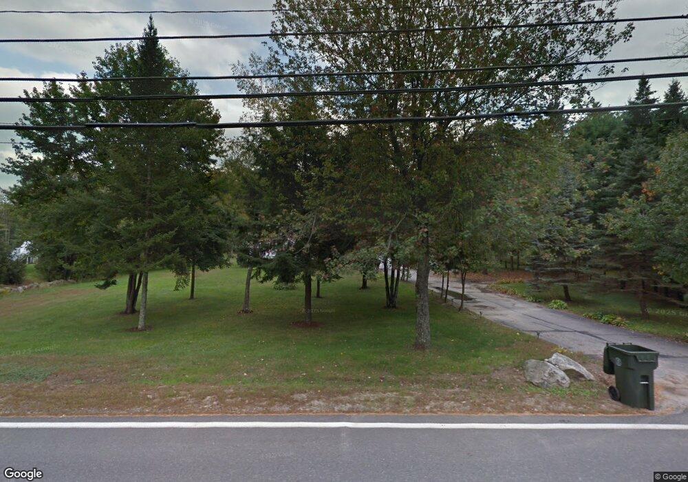
52 Auburn Rd Londonderry, NH 03053
Estimated Value: $588,000 - $641,381
3
Beds
3
Baths
2,592
Sq Ft
$239/Sq Ft
Est. Value
About This Home
This home is located at 52 Auburn Rd, Londonderry, NH 03053 and is currently estimated at $619,845, approximately $239 per square foot. 52 Auburn Rd is a home located in Rockingham County with nearby schools including North Londonderry Elementary School, Londonderry Middle School, and Londonderry Senior High School.
Ownership History
Date
Name
Owned For
Owner Type
Purchase Details
Closed on
Nov 4, 2008
Sold by
Sturm Joseph J and Sturm Patricia O
Bought by
Groce Benjamin T and Groce Samantha A
Current Estimated Value
Home Financials for this Owner
Home Financials are based on the most recent Mortgage that was taken out on this home.
Original Mortgage
$238,807
Interest Rate
5.83%
Purchase Details
Closed on
Oct 16, 2000
Sold by
Livingston Howard A and Livingston Suzanne K
Bought by
Sturm Joseph J and Sturm Patricia O
Purchase Details
Closed on
Aug 2, 1996
Sold by
Roy Marquis and Roy Claudette R
Bought by
Livingston Howard A and Livingston Suzanne K
Create a Home Valuation Report for This Property
The Home Valuation Report is an in-depth analysis detailing your home's value as well as a comparison with similar homes in the area
Home Values in the Area
Average Home Value in this Area
Purchase History
| Date | Buyer | Sale Price | Title Company |
|---|---|---|---|
| Groce Benjamin T | $242,000 | -- | |
| Groce Benjamin T | $242,000 | -- | |
| Sturm Joseph J | $189,000 | -- | |
| Sturm Joseph J | $189,000 | -- | |
| Livingston Howard A | $138,500 | -- | |
| Livingston Howard A | $138,500 | -- |
Source: Public Records
Mortgage History
| Date | Status | Borrower | Loan Amount |
|---|---|---|---|
| Open | Livingston Howard A | $225,501 | |
| Closed | Livingston Howard A | $238,807 |
Source: Public Records
Tax History Compared to Growth
Tax History
| Year | Tax Paid | Tax Assessment Tax Assessment Total Assessment is a certain percentage of the fair market value that is determined by local assessors to be the total taxable value of land and additions on the property. | Land | Improvement |
|---|---|---|---|---|
| 2024 | $8,067 | $499,800 | $202,600 | $297,200 |
| 2023 | $7,822 | $499,800 | $202,600 | $297,200 |
| 2022 | $7,436 | $402,400 | $153,100 | $249,300 |
| 2021 | $7,449 | $405,300 | $153,100 | $252,200 |
| 2020 | $7,252 | $360,600 | $123,800 | $236,800 |
| 2019 | $6,992 | $360,600 | $123,800 | $236,800 |
| 2018 | $6,377 | $292,500 | $105,100 | $187,400 |
| 2017 | $6,321 | $292,500 | $105,100 | $187,400 |
| 2016 | $6,289 | $292,500 | $105,100 | $187,400 |
| 2015 | $6,148 | $292,500 | $105,100 | $187,400 |
| 2014 | $6,169 | $292,500 | $105,100 | $187,400 |
| 2011 | -- | $296,900 | $105,100 | $191,800 |
Source: Public Records
Map
Nearby Homes
- 19 Auburn Rd
- 10 Auburn Rd
- 55 Norwich Place
- 34 Conifer Place
- 103 Rockingham Rd Unit 1
- 103 Rockingham Rd Unit 2
- 6a Walton Cir
- 40 Pinyon Place
- 4 Crestview Cir Unit 119
- 36 Perkins Rd
- 32 Noyes Rd
- 52 Daniel Rd
- 50 Daniel Rd
- 54 Daniel Rd
- 1991 Bodwell Rd Unit 30
- 48 Daniel Rd
- 9 Dattillo Rd
- 75 Rockingham Rd
- 1901 Bodwell Rd Unit 28
- 50 Bartley Hill Rd