52 Barbara George Ln Quincy, FL 32352
Estimated Value: $127,000 - $241,000
3
Beds
2
Baths
1,280
Sq Ft
$159/Sq Ft
Est. Value
About This Home
This home is located at 52 Barbara George Ln, Quincy, FL 32352 and is currently estimated at $203,855, approximately $159 per square foot. 52 Barbara George Ln is a home.
Ownership History
Date
Name
Owned For
Owner Type
Purchase Details
Closed on
Jan 20, 2017
Sold by
Compton Lan
Bought by
Harris Quadrick A and Jefferson Bridgette
Current Estimated Value
Purchase Details
Closed on
Nov 1, 2016
Bought by
Harris Quadrick A And
Purchase Details
Closed on
Jun 6, 2006
Sold by
Lawrence Gertrude Bouie and Estate Of Leroy Bouie
Bought by
Harris Quadrick A
Home Financials for this Owner
Home Financials are based on the most recent Mortgage that was taken out on this home.
Original Mortgage
$35,000
Interest Rate
6.5%
Mortgage Type
Purchase Money Mortgage
Create a Home Valuation Report for This Property
The Home Valuation Report is an in-depth analysis detailing your home's value as well as a comparison with similar homes in the area
Home Values in the Area
Average Home Value in this Area
Purchase History
| Date | Buyer | Sale Price | Title Company |
|---|---|---|---|
| Harris Quadrick A | $7,000 | Attorney | |
| Harris Quadrick A And | $100 | -- | |
| Harris Quadrick A | $35,000 | North State Title Svcs Inc |
Source: Public Records
Mortgage History
| Date | Status | Borrower | Loan Amount |
|---|---|---|---|
| Previous Owner | Harris Quadrick A | $35,000 |
Source: Public Records
Tax History Compared to Growth
Tax History
| Year | Tax Paid | Tax Assessment Tax Assessment Total Assessment is a certain percentage of the fair market value that is determined by local assessors to be the total taxable value of land and additions on the property. | Land | Improvement |
|---|---|---|---|---|
| 2025 | $2,376 | $166,490 | $14,090 | $152,400 |
| 2024 | -- | $15,788 | -- | -- |
| 2023 | $0 | $12,852 | $12,784 | $68 |
| 2022 | $537 | $57,060 | $4,320 | $52,740 |
| 2021 | $335 | $22,450 | $4,320 | $18,130 |
| 2020 | $346 | $23,267 | $4,320 | $18,947 |
| 2019 | $362 | $23,875 | $4,320 | $19,555 |
| 2018 | $368 | $23,875 | $0 | $0 |
| 2017 | $366 | $23,644 | $0 | $0 |
| 2016 | $0 | $24,245 | $0 | $0 |
| 2015 | -- | $24,641 | $0 | $0 |
| 2014 | -- | $25,236 | $0 | $0 |
Source: Public Records
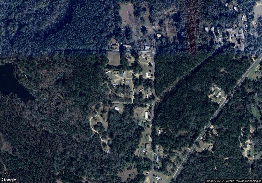
Map
Nearby Homes
- XXXX Old Philadelphia Church Rd
- 95 Alpine Heights Dr
- 111 Burnt Pine Trail
- 100 Burnt Pine Trail
- 75 Inez Way
- 60 Inez Way
- 22 Inez Way
- 75,60,22 Inez Way
- 45 Inez Way
- 95 Dons Ln
- 231 L & M Ln
- 97 Green Rd
- 867 Attapulgus Hwy
- Vacant Cox Rd
- 405 Cox Rd
- 140 David Clemons Rd
- 90 David Clemons Rd
- 0 Bainbridge Road Hwy
- Cox Rd
- 504 N Bellamy Dr
- 289 Jack Scott Rd
- 299 Jack Scott Rd
- 333 Jack Scott Rd
- 375 Jack Scott Rd
- 375 Jack Scott Rd
- 245 Shaw Ln
- 180 Shaw Ln
- 74 Shaw Ln
- 26 Shaw Ln
- 102 Shaw Ln
- 4089 Attapulgus Hwy
- 4037 Attapulgus Hwy
- 4043 Attapulgus Hwy
- 99 Jack Scott Rd
- 4031 Attapulgus Hwy
- 497 Jack Scott Rd
- 4515 Attapulgus Hwy
- 25 Empire Murray Rd
- 40 Jack Scott Rd
- 523 Jack Scott Rd