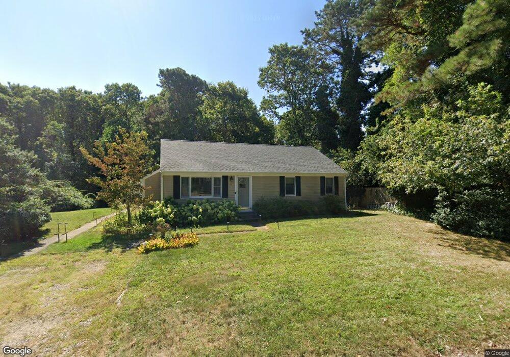
52 Gia Ln Mashpee, MA 02649
Estimated Value: $498,000 - $752,000
3
Beds
2
Baths
1,201
Sq Ft
$521/Sq Ft
Est. Value
About This Home
This home is located at 52 Gia Ln, Mashpee, MA 02649 and is currently estimated at $625,742, approximately $521 per square foot. 52 Gia Ln is a home located in Barnstable County with nearby schools including Kenneth C. Coombs School, Quashnet School, and Mashpee Middle School.
Ownership History
Date
Name
Owned For
Owner Type
Purchase Details
Closed on
Feb 15, 2001
Sold by
Ciejka Janet A
Bought by
Mooney Richard and Mooney Judith L
Current Estimated Value
Home Financials for this Owner
Home Financials are based on the most recent Mortgage that was taken out on this home.
Original Mortgage
$156,275
Outstanding Balance
$56,449
Interest Rate
7.08%
Mortgage Type
Purchase Money Mortgage
Estimated Equity
$569,293
Create a Home Valuation Report for This Property
The Home Valuation Report is an in-depth analysis detailing your home's value as well as a comparison with similar homes in the area
Home Values in the Area
Average Home Value in this Area
Purchase History
| Date | Buyer | Sale Price | Title Company |
|---|---|---|---|
| Mooney Richard | $165,000 | -- |
Source: Public Records
Mortgage History
| Date | Status | Borrower | Loan Amount |
|---|---|---|---|
| Open | Mooney Richard | $156,275 |
Source: Public Records
Tax History Compared to Growth
Tax History
| Year | Tax Paid | Tax Assessment Tax Assessment Total Assessment is a certain percentage of the fair market value that is determined by local assessors to be the total taxable value of land and additions on the property. | Land | Improvement |
|---|---|---|---|---|
| 2025 | $2,960 | $447,100 | $186,100 | $261,000 |
| 2024 | $2,687 | $417,900 | $169,200 | $248,700 |
| 2023 | $2,540 | $362,300 | $161,100 | $201,200 |
| 2022 | $2,433 | $297,800 | $131,000 | $166,800 |
| 2021 | $2,335 | $257,400 | $118,000 | $139,400 |
| 2020 | $2,252 | $247,700 | $113,500 | $134,200 |
| 2019 | $2,153 | $237,900 | $113,500 | $124,400 |
| 2018 | $1,974 | $221,300 | $113,500 | $107,800 |
| 2017 | $1,929 | $209,900 | $113,500 | $96,400 |
| 2016 | $1,877 | $203,100 | $113,500 | $89,600 |
| 2015 | $1,817 | $199,400 | $113,500 | $85,900 |
| 2014 | $1,848 | $196,800 | $112,100 | $84,700 |
Source: Public Records
Map
Nearby Homes
- 55 Blue Castle Dr
- 17 Degrass Rd
- 89 Degrass Rd
- 14 Azalea Ln
- 79 Cobblestone Cir
- 102 Summersea Rd
- 61 Wintergreen Rd
- 6 Heron Way
- 17 Sand Dollar Ln
- 100 Paddock Cir
- 35 Waterway
- 7 Sandy Way
- 20 Sandy Way
- 169 Daniels Island Rd
- 8 Shadbush Cir
- 10 Shadbush Cir
- 141 Daniels Island Rd
- 109 Great Pines Dr
- 240 Surf Dr