52 Keene St Whiting, NJ 08759
Manchester Township NeighborhoodEstimated Value: $208,072 - $221,000
2
Beds
2
Baths
1,120
Sq Ft
$191/Sq Ft
Est. Value
About This Home
This home is located at 52 Keene St, Whiting, NJ 08759 and is currently estimated at $214,268, approximately $191 per square foot. 52 Keene St is a home located in Ocean County with nearby schools including Manchester Township High School.
Ownership History
Date
Name
Owned For
Owner Type
Purchase Details
Closed on
Apr 10, 2002
Current Estimated Value
Purchase Details
Closed on
Mar 1, 2000
Sold by
Woit Don
Bought by
Ronnow Bernice
Purchase Details
Closed on
Nov 16, 1999
Sold by
Washington Svgs Fund Society Fsb
Bought by
Woit Don
Purchase Details
Closed on
Mar 30, 1999
Sold by
Hartman Irene
Bought by
Wilmington Svgs Fund Society Fsb
Create a Home Valuation Report for This Property
The Home Valuation Report is an in-depth analysis detailing your home's value as well as a comparison with similar homes in the area
Home Values in the Area
Average Home Value in this Area
Purchase History
| Date | Buyer | Sale Price | Title Company |
|---|---|---|---|
| -- | -- | -- | |
| Ronnow Bernice | $61,900 | -- | |
| Woit Don | $37,000 | Commonwealth Land Title Ins | |
| Wilmington Svgs Fund Society Fsb | $26,600 | -- |
Source: Public Records
Tax History Compared to Growth
Tax History
| Year | Tax Paid | Tax Assessment Tax Assessment Total Assessment is a certain percentage of the fair market value that is determined by local assessors to be the total taxable value of land and additions on the property. | Land | Improvement |
|---|---|---|---|---|
| 2025 | $2,126 | $202,500 | $58,300 | $144,200 |
| 2024 | $1,768 | $86,600 | $10,200 | $76,400 |
| 2023 | $1,668 | $86,600 | $10,200 | $76,400 |
| 2022 | $1,918 | $86,600 | $10,200 | $76,400 |
| 2021 | $1,627 | $86,600 | $10,200 | $76,400 |
| 2020 | $1,827 | $86,600 | $10,200 | $76,400 |
| 2019 | $1,518 | $59,200 | $9,700 | $49,500 |
| 2018 | $1,513 | $59,200 | $9,700 | $49,500 |
| 2017 | $1,518 | $59,200 | $9,700 | $49,500 |
| 2016 | $1,250 | $59,200 | $9,700 | $49,500 |
| 2015 | $1,222 | $59,200 | $9,700 | $49,500 |
| 2014 | $1,192 | $59,200 | $9,700 | $49,500 |
Source: Public Records
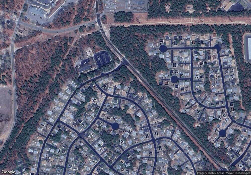
Map
Nearby Homes
- 46 Keene St
- 27 Keene St Unit 70
- 24 Churchill Rd Unit 71
- 24 Churchill Rd Sec 71
- 20 Falmouth Ave Unit 72
- 19 Falmouth Ave
- 36 Westport Dr
- 43 S Chestnut Ave Unit 72
- 48 Westport Dr
- 48 Westport Dr Unit 71
- 18 Westport Dr Unit 71
- 6 N Chestnut Ave
- 74 Chelsea Dr
- 69 Chelsea Dr Unit 72
- 23 Brentwood St Unit 73
- 81 Falmouth Ave Unit 72
- 81 Falmouth Ave
- 11 Hartford Rd Unit 70
- 1 Chelsea Dr
- 104 Manchester Blvd