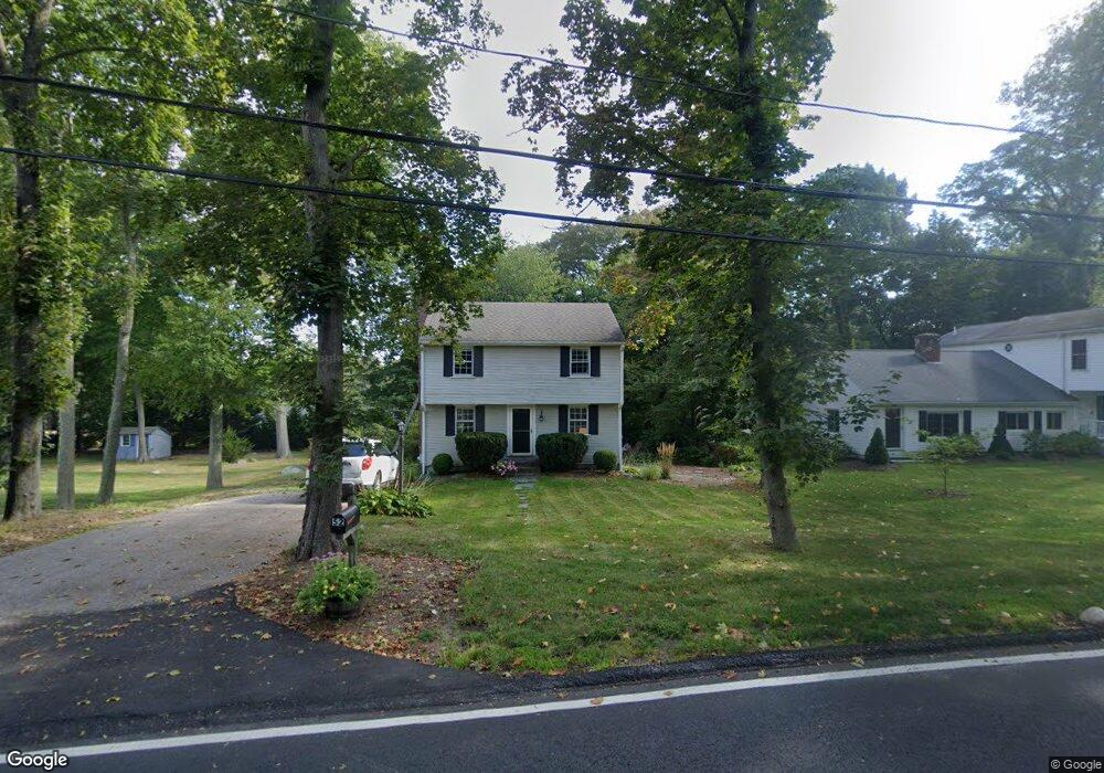
52 Lawson Rd Scituate, MA 02066
Estimated Value: $641,000 - $912,000
3
Beds
2
Baths
1,196
Sq Ft
$646/Sq Ft
Est. Value
About This Home
This home is located at 52 Lawson Rd, Scituate, MA 02066 and is currently estimated at $773,113, approximately $646 per square foot. 52 Lawson Rd is a home with nearby schools including Cushing Elementary School, Lester J. Gates Middle School, and Scituate High School.
Ownership History
Date
Name
Owned For
Owner Type
Purchase Details
Closed on
Dec 16, 2022
Sold by
Stein Albert E and Stein Kelly A
Bought by
A E & Kelly A Stein Ret
Current Estimated Value
Purchase Details
Closed on
Dec 20, 1990
Sold by
Robles Christopher M
Bought by
Stein Albert E
Home Financials for this Owner
Home Financials are based on the most recent Mortgage that was taken out on this home.
Original Mortgage
$122,500
Interest Rate
10.02%
Mortgage Type
Purchase Money Mortgage
Create a Home Valuation Report for This Property
The Home Valuation Report is an in-depth analysis detailing your home's value as well as a comparison with similar homes in the area
Home Values in the Area
Average Home Value in this Area
Purchase History
| Date | Buyer | Sale Price | Title Company |
|---|---|---|---|
| A E & Kelly A Stein Ret | -- | None Available | |
| Stein Albert E | $129,000 | -- |
Source: Public Records
Mortgage History
| Date | Status | Borrower | Loan Amount |
|---|---|---|---|
| Previous Owner | Stein Albert E | $100,000 | |
| Previous Owner | Stein Albert E | $120,000 | |
| Previous Owner | Stein Albert E | $122,500 | |
| Previous Owner | Stein Albert E | $70,003 |
Source: Public Records
Tax History Compared to Growth
Tax History
| Year | Tax Paid | Tax Assessment Tax Assessment Total Assessment is a certain percentage of the fair market value that is determined by local assessors to be the total taxable value of land and additions on the property. | Land | Improvement |
|---|---|---|---|---|
| 2025 | $5,691 | $569,700 | $361,100 | $208,600 |
| 2024 | $5,552 | $535,900 | $328,300 | $207,600 |
| 2023 | $5,682 | $510,500 | $315,000 | $195,500 |
| 2022 | $5,601 | $443,800 | $279,700 | $164,100 |
| 2021 | $5,493 | $412,100 | $266,300 | $145,800 |
| 2020 | $5,334 | $395,100 | $256,100 | $139,000 |
| 2019 | $5,278 | $384,100 | $251,000 | $133,100 |
| 2018 | $5,355 | $383,900 | $264,100 | $119,800 |
| 2017 | $5,194 | $368,600 | $253,500 | $115,100 |
| 2016 | $4,914 | $347,500 | $232,400 | $115,100 |
| 2015 | $4,413 | $336,900 | $221,800 | $115,100 |
Source: Public Records
Map
Nearby Homes
- 54 Woodland Rd
- 3 Grace Way Unit 3
- 1 Grace Way Unit 1
- 27 Grace Way
- 32 Fairview Ave
- 111 Elm St
- 115 Elm St
- 59 Captain Peirce Rd
- 10 Benjamin Ln Unit 10
- 14 Aberdeen Dr
- 27 Ann Vinal Rd
- 378 Tilden Rd
- 30 Irving Rd
- 74 Tilden Rd
- 209 Hatherly Rd
- 86 Hatherly Rd
- 17 Bradford Ave
- 23 Oceanside Dr
- 105 Turner Rd
- 32 Barker Rd Unit 3
- 50 Lawson Rd
- 58 Lawson Rd
- 55 Lawson Terrace
- 63 Lawson Terrace
- 45 Lawson Rd
- 62 Lawson Rd
- 49 Lawson Terrace
- 42 Lawson Rd
- 41 Lawson Rd
- 0 Lawson Terrace
- 67 Lawson Terrace
- 66 Lawson Rd
- 66 Lawson Rd Unit 1
- 58 Lawson Terrace
- 50 Lawson Terrace
- 47-r Lawson Rd
- 47 Lawson Rd Unit R
- 47-r Lawson Rd
- 73 Lawson Terrace
- 70 Lawson Rd