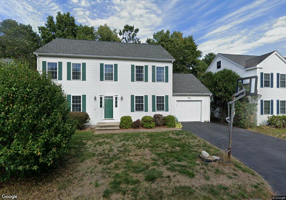
52 Loring Ave Boxborough, MA 01719
Estimated Value: $737,000 - $832,000
3
Beds
2
Baths
1,716
Sq Ft
$454/Sq Ft
Est. Value
About This Home
This home is located at 52 Loring Ave, Boxborough, MA 01719 and is currently estimated at $778,746, approximately $453 per square foot. 52 Loring Ave is a home located in Middlesex County with nearby schools including Acton-Boxborough Regional High School.
Create a Home Valuation Report for This Property
The Home Valuation Report is an in-depth analysis detailing your home's value as well as a comparison with similar homes in the area
Home Values in the Area
Average Home Value in this Area
Tax History Compared to Growth
Tax History
| Year | Tax Paid | Tax Assessment Tax Assessment Total Assessment is a certain percentage of the fair market value that is determined by local assessors to be the total taxable value of land and additions on the property. | Land | Improvement |
|---|---|---|---|---|
| 2025 | $9,935 | $656,200 | $225,500 | $430,700 |
| 2024 | $8,997 | $600,200 | $204,800 | $395,400 |
| 2023 | $8,770 | $565,100 | $188,700 | $376,400 |
| 2022 | $8,503 | $488,100 | $188,700 | $299,400 |
| 2020 | $7,711 | $461,200 | $188,700 | $272,500 |
| 2019 | $7,573 | $461,200 | $188,700 | $272,500 |
| 2018 | $3,012 | $435,900 | $201,700 | $234,200 |
| 2017 | $7,664 | $455,900 | $201,700 | $254,200 |
| 2016 | $6,145 | $375,600 | $201,700 | $173,900 |
| 2015 | $6,507 | $390,800 | $167,600 | $223,200 |
| 2014 | $6,575 | $371,700 | $165,900 | $205,800 |
Source: Public Records
Map
Nearby Homes
- 96 Cedarwood Rd
- 777 Depot Rd
- 134 Russet Ln
- 68 Macintosh Ln
- 139 Picnic St
- 1155 Burroughs Rd
- 12 Olde Lantern Rd
- 62 Waite Rd
- 5 Elm St Unit 1
- 9 Elm St Unit 1
- 92 Willow St Unit 3
- 92 Willow St Unit 2
- 285 Central St Unit 285
- 90 Willow St Unit 1
- 31 Mohawk Dr
- 207 Boxboro Rd
- 58 Spencer Rd Unit 18K
- 3 Heather Hill Rd
- 53 Swanson Ct Unit 36C
- 50 Spencer Rd Unit 36