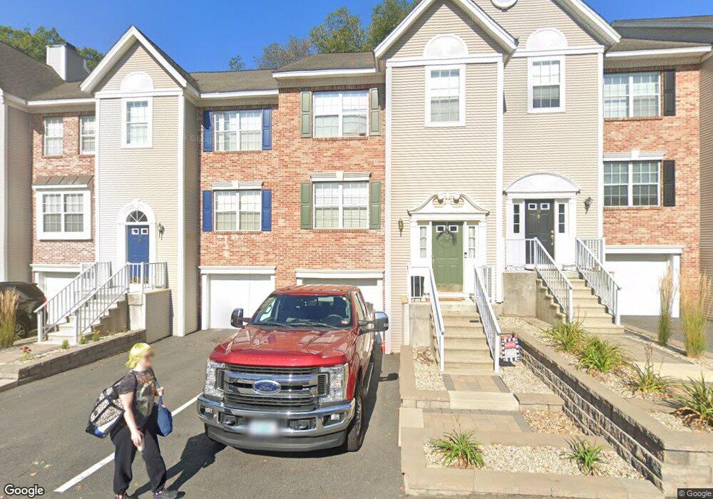
52 Middlesex Rd MerriMacK, NH 03054
Estimated Value: $399,000 - $443,000
2
Beds
3
Baths
1,897
Sq Ft
$223/Sq Ft
Est. Value
About This Home
This home is located at 52 Middlesex Rd, MerriMacK, NH 03054 and is currently estimated at $423,467, approximately $223 per square foot. 52 Middlesex Rd is a home located in Hillsborough County with nearby schools including Reeds Ferry School, James Mastricola Upper Elementary School, and Merrimack Middle School.
Ownership History
Date
Name
Owned For
Owner Type
Purchase Details
Closed on
Feb 26, 2013
Sold by
Latour Ft and Latour Kenneth R
Bought by
Latour Ft and Latour Kenneth R
Current Estimated Value
Purchase Details
Closed on
Sep 18, 2012
Sold by
Latour Kenneth R
Bought by
Latour Ft and Latour Kenneth R
Create a Home Valuation Report for This Property
The Home Valuation Report is an in-depth analysis detailing your home's value as well as a comparison with similar homes in the area
Home Values in the Area
Average Home Value in this Area
Purchase History
| Date | Buyer | Sale Price | Title Company |
|---|---|---|---|
| Latour Ft | -- | -- | |
| Latour Ft | -- | -- |
Source: Public Records
Tax History Compared to Growth
Tax History
| Year | Tax Paid | Tax Assessment Tax Assessment Total Assessment is a certain percentage of the fair market value that is determined by local assessors to be the total taxable value of land and additions on the property. | Land | Improvement |
|---|---|---|---|---|
| 2024 | $5,750 | $277,900 | $0 | $277,900 |
| 2023 | $5,405 | $277,900 | $0 | $277,900 |
| 2022 | $4,830 | $277,900 | $0 | $277,900 |
| 2021 | $4,772 | $277,900 | $0 | $277,900 |
| 2020 | $4,728 | $196,500 | $0 | $196,500 |
| 2019 | $4,742 | $196,500 | $0 | $196,500 |
| 2018 | $4,858 | $196,500 | $0 | $196,500 |
| 2017 | $4,557 | $195,000 | $0 | $195,000 |
| 2016 | $4,444 | $195,000 | $0 | $195,000 |
| 2015 | $4,321 | $174,800 | $0 | $174,800 |
| 2014 | $4,211 | $174,800 | $0 | $174,800 |
| 2013 | $4,179 | $174,800 | $0 | $174,800 |
Source: Public Records
Map
Nearby Homes
- 9 Mustang Dr Unit C
- 9 Mustang Dr Unit B
- 7 Mustang Dr Unit C
- 7 Mustang Dr Unit END UNIT-A
- 3-C Mustang Dr Unit MODEL
- 769 Daniel Webster Hwy
- 53 Pine Ave
- 29 Watts Landing Unit 24
- 4543 Brown Ave
- 22 Kimberly Dr
- 4481 Brown Ave
- 67 Pullman St
- 15 Tamarack Ct
- 4243 Brown Ave
- 490 Charles Bancroft Hwy
- 8 Iroquois Cir
- 29 Bedford Rd
- 34 Chatham Dr
- 1 Pleasant St
- 25 Chatfield Dr
- 32 Middlesex Rd
- 32 Middlesex Rd Unit 32
- 22 Middlesex Rd
- 725 Daniel Webster Hwy Unit Developable land at
- 725 Daniel Webster Hwy
- 723-725 Dw Hwy
- 725 Dw Hwy
- 723 Dw Hwy
- 725 D Hwy W
- 729 Daniel Webster Hwy
- 729 Daniel Webster Hwy Unit 17,490 SF Approved R
- 2 Scituate Place Unit 37
- 2 Scituate Place Unit 36
- 2 Scituate Place Unit 35
- 2 Scituate Place Unit 34
- 2 Scituate Place Unit 33
- 2 Scituate Place Unit 32
- 2 Scituate Place Unit 31
- 2 Scituate Place Unit 28
- 2 Scituate Place Unit 27