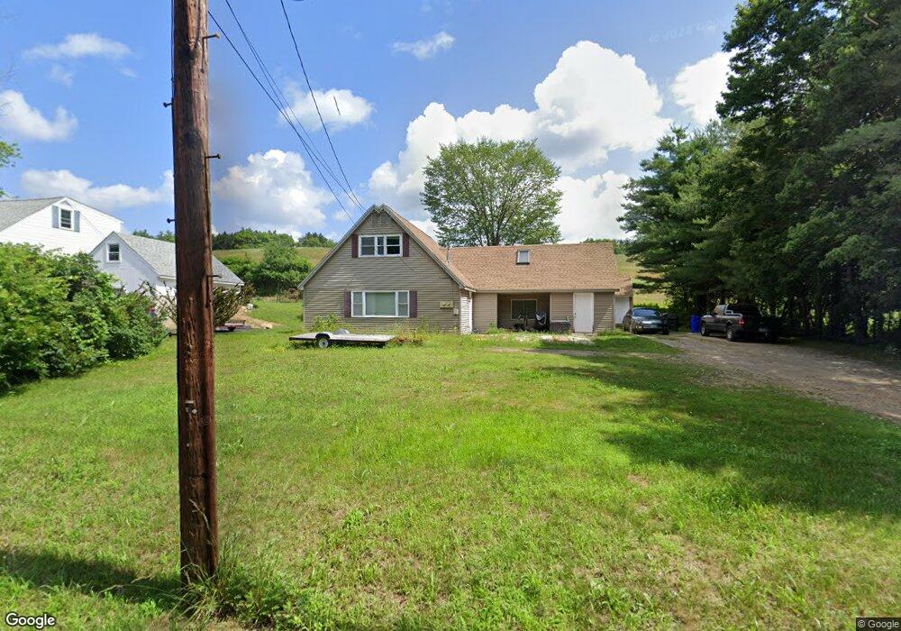
52 Parker Station Rd Goffstown, NH 03045
Estimated Value: $398,000 - $441,000
3
Beds
2
Baths
1,487
Sq Ft
$285/Sq Ft
Est. Value
About This Home
This home is located at 52 Parker Station Rd, Goffstown, NH 03045 and is currently estimated at $424,429, approximately $285 per square foot. 52 Parker Station Rd is a home located in Hillsborough County with nearby schools including Mountain View Middle School and Goffstown High School.
Ownership History
Date
Name
Owned For
Owner Type
Purchase Details
Closed on
Jun 7, 2010
Sold by
Fhlmc
Bought by
Coyne Michael G
Current Estimated Value
Home Financials for this Owner
Home Financials are based on the most recent Mortgage that was taken out on this home.
Original Mortgage
$100,000
Interest Rate
5.12%
Mortgage Type
Purchase Money Mortgage
Purchase Details
Closed on
Jan 29, 2010
Sold by
Somers Keith D and Ocwen Loan Servicing L
Bought by
Fhlmc
Purchase Details
Closed on
Apr 29, 2005
Sold by
Heiser Kathryne M
Bought by
Somers Keith D
Create a Home Valuation Report for This Property
The Home Valuation Report is an in-depth analysis detailing your home's value as well as a comparison with similar homes in the area
Home Values in the Area
Average Home Value in this Area
Purchase History
| Date | Buyer | Sale Price | Title Company |
|---|---|---|---|
| Coyne Michael G | $127,100 | -- | |
| Fhlmc | $171,000 | -- | |
| Somers Keith D | $215,500 | -- |
Source: Public Records
Mortgage History
| Date | Status | Borrower | Loan Amount |
|---|---|---|---|
| Open | Somers Keith D | $50,000 | |
| Open | Somers Keith D | $96,000 | |
| Closed | Somers Keith D | $100,000 | |
| Previous Owner | Somers Keith D | $209,550 |
Source: Public Records
Tax History Compared to Growth
Tax History
| Year | Tax Paid | Tax Assessment Tax Assessment Total Assessment is a certain percentage of the fair market value that is determined by local assessors to be the total taxable value of land and additions on the property. | Land | Improvement |
|---|---|---|---|---|
| 2024 | $6,371 | $311,700 | $167,200 | $144,500 |
| 2023 | $5,879 | $311,700 | $167,200 | $144,500 |
| 2022 | $5,015 | $190,600 | $99,900 | $90,700 |
| 2021 | $4,731 | $190,600 | $99,900 | $90,700 |
| 2020 | $4,731 | $190,600 | $99,900 | $90,700 |
| 2019 | $4,685 | $190,600 | $99,900 | $90,700 |
| 2018 | $3,545 | $190,600 | $99,900 | $90,700 |
| 2017 | $4,505 | $164,300 | $82,400 | $81,900 |
| 2016 | $4,342 | $164,300 | $82,400 | $81,900 |
| 2015 | $4,142 | $147,100 | $68,200 | $78,900 |
| 2014 | $3,972 | $147,100 | $68,200 | $78,900 |
Source: Public Records
Map
Nearby Homes
- 56 Parker Station Rd
- 58 Parker Station Rd
- 55 Parker Station Rd
- 62 Parker Station Rd
- 59 Parker Station Rd
- Lot 7/25 Parker Station Rd
- 0 Parker Station Rd
- 47 Parker Station Rd
- 33 Parker Station Rd
- 7 Wood Cir
- 7 Wood Cir
- 7 Wood Cir
- 2 Orchard Hill Rd
- 2 Pine Crest Dr
- 7 Pinecrest Dr
- 40 Parker Station Rd
- 14-1 Wood Cir
- 10 Wood Cir
- 10 Pine Crest Dr
- 1 Wood Cir