52 Pointe Trinity Dr Strafford, NH 03884
Estimated Value: $771,643 - $1,100,000
3
Beds
3
Baths
2,728
Sq Ft
$354/Sq Ft
Est. Value
About This Home
This home is located at 52 Pointe Trinity Dr, Strafford, NH 03884 and is currently estimated at $965,411, approximately $353 per square foot. 52 Pointe Trinity Dr is a home located in Strafford County with nearby schools including Strafford School and Coe-Brown Northwood Academy.
Ownership History
Date
Name
Owned For
Owner Type
Purchase Details
Closed on
Sep 8, 2021
Sold by
Grimbilas Thomas C and Grimbilas Jodi E
Bought by
Grimbilas Ft
Current Estimated Value
Purchase Details
Closed on
Mar 3, 2003
Sold by
Camelot T
Bought by
Grimbilas Thomas C and Grimbilas Jodi E
Create a Home Valuation Report for This Property
The Home Valuation Report is an in-depth analysis detailing your home's value as well as a comparison with similar homes in the area
Home Values in the Area
Average Home Value in this Area
Purchase History
| Date | Buyer | Sale Price | Title Company |
|---|---|---|---|
| Grimbilas Ft | -- | None Available | |
| Grimbilas Thomas C | $100,000 | -- |
Source: Public Records
Mortgage History
| Date | Status | Borrower | Loan Amount |
|---|---|---|---|
| Previous Owner | Grimbilas Thomas C | $90,000 |
Source: Public Records
Tax History
| Year | Tax Paid | Tax Assessment Tax Assessment Total Assessment is a certain percentage of the fair market value that is determined by local assessors to be the total taxable value of land and additions on the property. | Land | Improvement |
|---|---|---|---|---|
| 2024 | $11,034 | $558,400 | $130,200 | $428,200 |
| 2023 | $10,409 | $558,400 | $130,200 | $428,200 |
| 2022 | $9,565 | $558,400 | $130,200 | $428,200 |
| 2021 | $10,308 | $558,400 | $130,200 | $428,200 |
| 2020 | $9,939 | $387,500 | $101,100 | $286,400 |
| 2019 | $9,095 | $387,500 | $101,100 | $286,400 |
| 2018 | $8,507 | $387,500 | $101,100 | $286,400 |
| 2016 | $8,234 | $387,500 | $101,100 | $286,400 |
| 2015 | $8,092 | $371,000 | $118,700 | $252,300 |
| 2014 | $8,592 | $371,000 | $118,700 | $252,300 |
| 2013 | $7,981 | $351,900 | $118,700 | $233,200 |
| 2012 | $7,876 | $351,900 | $118,700 | $233,200 |
Source: Public Records
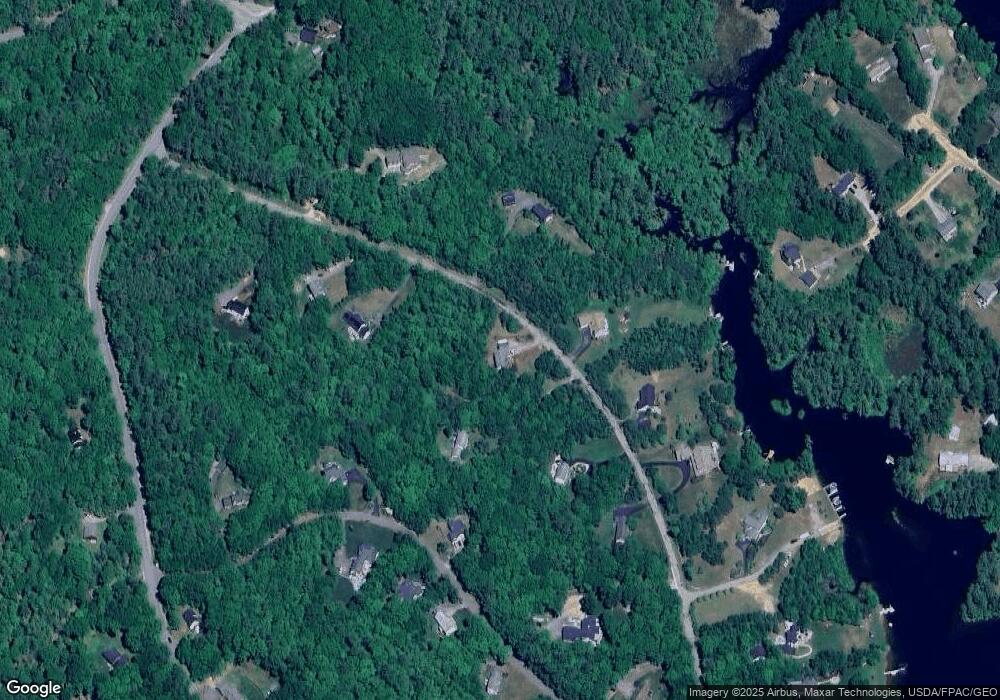
Map
Nearby Homes
- 114 Bow Lake Estates Rd
- 133 & 137 Browns Pasture Rd
- 239 Long Pond Rd
- 18 Collins Dr
- Map 3 Lot 18-2b and 18-2c Water St
- Map 219 Lot 6-8 Ridge Rd
- 0 1st New Hampshire Turnpike Unit 5013320
- 150A 1st New Hampshire Turnpike
- 26 Harmony Rd
- 73 Harvey Lake Rd
- 2 Oak Ct
- 26 Oak St
- 641 & 647 First nh Turnpike
- 11 Chestnut Ln
- 17 Brook Cir
- M37 L40 Beaver Rd
- 617 1st New Hampshire Turnpike Unit 9
- R11 07 Clough Rd
- 7 Chestnut Ln
- 21 Brook Cir
- 55 Pointe Trinity Dr
- 58 Pointe Trinity Dr
- 68 Pointe Trinity Dr
- 36 Pointe Trinity Dr
- 41 Pointe Trinity Dr
- 41 Pointe Trinity Dr
- 67 Pointe Trinity Dr
- 37 Carter Way
- 28 Pointe Trinity Dr
- 27 Carter Way
- 74 Pointe Trinity Dr
- 71 Pointe Trinity Dr
- 21 Pointe Trinity Dr
- 22 Pointe Trinity Dr
- 24 Carter Way
- 38 Carter Way
- 18 Pointe Trinity Dr
- 84 Pointe Trinity Dr
- 84 Pointe Trinity Dr Unit 1
- 40 Carter Way
Your Personal Tour Guide
Ask me questions while you tour the home.