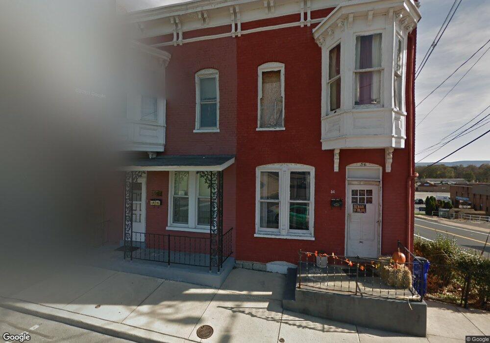
52 S Cannon Ave Hagerstown, MD 21740
Central NeighborhoodEstimated Value: $135,000 - $215,000
--
Bed
1
Bath
1,344
Sq Ft
$128/Sq Ft
Est. Value
About This Home
This home is located at 52 S Cannon Ave, Hagerstown, MD 21740 and is currently estimated at $172,433, approximately $128 per square foot. 52 S Cannon Ave is a home located in Washington County with nearby schools including Ruth Ann Monroe Primary School, Eastern Elementary School, and E. Russell Hicks Middle School.
Ownership History
Date
Name
Owned For
Owner Type
Purchase Details
Closed on
Jan 4, 2005
Sold by
Kendrick George D and Kendrick Nancy M
Bought by
Kendrick George D and Kendrick Nancy M
Current Estimated Value
Purchase Details
Closed on
Aug 28, 1987
Sold by
Teach Robert L
Bought by
Kendrick George D and Kendrick Nancy M
Home Financials for this Owner
Home Financials are based on the most recent Mortgage that was taken out on this home.
Original Mortgage
$32,500
Interest Rate
10.33%
Create a Home Valuation Report for This Property
The Home Valuation Report is an in-depth analysis detailing your home's value as well as a comparison with similar homes in the area
Home Values in the Area
Average Home Value in this Area
Purchase History
| Date | Buyer | Sale Price | Title Company |
|---|---|---|---|
| Kendrick George D | -- | -- | |
| Kendrick George D | $32,500 | -- |
Source: Public Records
Mortgage History
| Date | Status | Borrower | Loan Amount |
|---|---|---|---|
| Previous Owner | Kendrick George D | $32,500 |
Source: Public Records
Tax History Compared to Growth
Tax History
| Year | Tax Paid | Tax Assessment Tax Assessment Total Assessment is a certain percentage of the fair market value that is determined by local assessors to be the total taxable value of land and additions on the property. | Land | Improvement |
|---|---|---|---|---|
| 2025 | $786 | $98,300 | $20,000 | $78,300 |
| 2024 | $786 | $86,333 | $0 | $0 |
| 2023 | $677 | $74,367 | $0 | $0 |
| 2022 | $568 | $62,400 | $20,000 | $42,400 |
| 2021 | $581 | $62,400 | $20,000 | $42,400 |
| 2020 | $581 | $62,400 | $20,000 | $42,400 |
| 2019 | $591 | $63,200 | $20,000 | $43,200 |
| 2018 | $872 | $63,200 | $20,000 | $43,200 |
| 2017 | $591 | $63,200 | $0 | $0 |
| 2016 | -- | $63,300 | $0 | $0 |
| 2015 | -- | $63,300 | $0 | $0 |
| 2014 | $1,283 | $63,300 | $0 | $0 |
Source: Public Records
Map
Nearby Homes
- 30 S Cannon Ave
- 15 S Cannon Ave
- 112 S Cannon Ave
- 228 E Washington St
- 329 Antietam E
- 16 S Mulberry St
- 51 N Cannon Ave
- 200 E Antietam St
- 145 King St
- 360 S Cannon Ave
- 312 E Franklin St
- 421 E Washington St
- 200 E Franklin St
- 112 E Antietam St
- 136 N Cannon Ave
- 25 S Locust St
- 351 Liberty St
- 123 1/2 S Locust St
- 338 Liberty St
- 414 E Franklin St
- 50 S Cannon Ave
- 48 S Cannon Ave
- 54 S Cannon Ave
- 44 S Cannon Ave
- 42 S Cannon Ave
- 40 S Cannon Ave Unit B
- 40 S Cannon Ave
- 40 S Cannon Ave
- 40 S Cannon Ave Unit 1
- 36 S Cannon Ave
- 301 E Antietam St
- 110 S Cannon Ave
- 32 S Cannon Ave Unit 34
- 34 S Cannon Ave
- 116 S Cannon Ave
- 28 S Cannon Ave
- 250 E Antietam St
- 24 S Cannon Ave
- 304 S Cannon Ave
- 306 S Cannon Ave