52 Stevens Ln Walpole, NH 03608
Estimated Value: $1,129,000 - $1,261,609
2
Beds
2
Baths
1,744
Sq Ft
$699/Sq Ft
Est. Value
About This Home
This home is located at 52 Stevens Ln, Walpole, NH 03608 and is currently estimated at $1,219,152, approximately $699 per square foot. 52 Stevens Ln is a home located in Cheshire County with nearby schools including Walpole Primary School, North Walpole School, and Walpole Elementary School.
Ownership History
Date
Name
Owned For
Owner Type
Purchase Details
Closed on
Mar 25, 2013
Sold by
Wilking Andrew P
Bought by
Wilking Andrew P and Nash-Wilking Marilyn
Current Estimated Value
Purchase Details
Closed on
Nov 4, 2011
Sold by
Coyle Francis M and Coyle Loretta A
Bought by
Wilking Andrew P
Purchase Details
Closed on
Dec 2, 2002
Sold by
Pratt Betty
Bought by
Knight John W and Knight Norma M
Home Financials for this Owner
Home Financials are based on the most recent Mortgage that was taken out on this home.
Original Mortgage
$203,970
Interest Rate
6.16%
Create a Home Valuation Report for This Property
The Home Valuation Report is an in-depth analysis detailing your home's value as well as a comparison with similar homes in the area
Home Values in the Area
Average Home Value in this Area
Purchase History
| Date | Buyer | Sale Price | Title Company |
|---|---|---|---|
| Wilking Andrew P | -- | -- | |
| Wilking Andrew P | $499,500 | -- | |
| Knight John W | $25,000 | -- |
Source: Public Records
Mortgage History
| Date | Status | Borrower | Loan Amount |
|---|---|---|---|
| Previous Owner | Knight John W | $203,970 |
Source: Public Records
Tax History Compared to Growth
Tax History
| Year | Tax Paid | Tax Assessment Tax Assessment Total Assessment is a certain percentage of the fair market value that is determined by local assessors to be the total taxable value of land and additions on the property. | Land | Improvement |
|---|---|---|---|---|
| 2024 | $16,790 | $981,316 | $258,216 | $723,100 |
| 2023 | $15,937 | $981,369 | $258,269 | $723,100 |
| 2022 | $16,025 | $981,316 | $258,216 | $723,100 |
| 2021 | $15,180 | $596,923 | $192,223 | $404,700 |
| 2020 | $156 | $589,699 | $192,599 | $397,100 |
| 2019 | $15,042 | $589,642 | $192,542 | $397,100 |
| 2018 | $14,754 | $589,693 | $192,593 | $397,100 |
| 2017 | $14,251 | $589,608 | $192,508 | $397,100 |
| 2016 | $12,409 | $510,438 | $157,938 | $352,500 |
| 2015 | $11,799 | $510,569 | $158,069 | $352,500 |
| 2014 | $11,523 | $510,338 | $162,838 | $347,500 |
| 2013 | $11,247 | $510,311 | $162,811 | $347,500 |
Source: Public Records
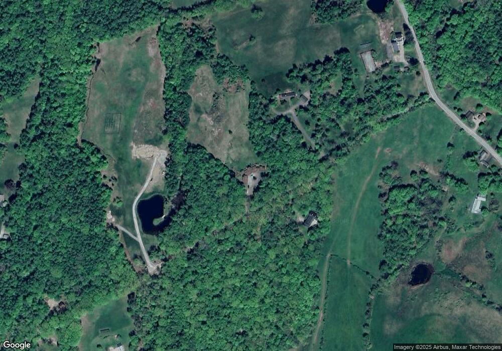
Map
Nearby Homes
- 300 Wentworth Rd
- 337 Old Keene Rd
- 31 Wentworth Rd
- 42 Old Keene Rd
- 61 Elm St
- 0 Old Gilsum Rd Unit 5034729
- 0 Old Walpole Rd Unit 1
- 363 March Hill Rd
- 24 Westminster St
- 26 Old North Main St
- 31 Pleasant St
- 61 North Rd
- 96 Maclean Rd
- 1909 Pine Banks Rd
- 33 Maclean Rd
- 5362 Us Route 5
- 0 Kurn Hattin Rd
- 14 Hurricane Rd
- 603 Route 12a
- 212 S Pine Banks Rd
- 30 Stevens Ln
- 63 Taggard Rd
- 507 Main St
- 392 Watkins Hill Rd
- 64 Taggard Rd
- 418 Watkins Hill Rd
- 411 Watkins Hill Rd
- 370 Watkins Hill Rd
- 43 Taggard Rd
- 429 Watkins Hill Rd
- 375 Watkins Hill Rd
- 821 County Rd
- 363 Watkins Hill Rd
- 54 Taggard Rd
- 439 Watkins Hill Rd
- 326 Watkins Hill Rd
- 322 Watkins Hill Rd
- 31 Taggard Rd
- 20 Black Lead Mine Ln
- 885 County Rd