52 Swanson Ct Unit 15B Boxborough, MA 01719
Estimated Value: $229,000 - $292,000
2
Beds
1
Bath
820
Sq Ft
$307/Sq Ft
Est. Value
About This Home
This home is located at 52 Swanson Ct Unit 15B, Boxborough, MA 01719 and is currently estimated at $252,108, approximately $307 per square foot. 52 Swanson Ct Unit 15B is a home located in Middlesex County with nearby schools including Acton-Boxborough Regional High School.
Ownership History
Date
Name
Owned For
Owner Type
Purchase Details
Closed on
Aug 13, 2007
Sold by
Pellecchia Dennis S and Margolis Martin E
Bought by
Whalen Michael B
Current Estimated Value
Home Financials for this Owner
Home Financials are based on the most recent Mortgage that was taken out on this home.
Original Mortgage
$124,000
Outstanding Balance
$78,751
Interest Rate
6.72%
Mortgage Type
Purchase Money Mortgage
Estimated Equity
$173,357
Create a Home Valuation Report for This Property
The Home Valuation Report is an in-depth analysis detailing your home's value as well as a comparison with similar homes in the area
Home Values in the Area
Average Home Value in this Area
Purchase History
| Date | Buyer | Sale Price | Title Company |
|---|---|---|---|
| Whalen Michael B | $124,000 | -- |
Source: Public Records
Mortgage History
| Date | Status | Borrower | Loan Amount |
|---|---|---|---|
| Open | Whalen Michael B | $124,000 |
Source: Public Records
Tax History Compared to Growth
Tax History
| Year | Tax Paid | Tax Assessment Tax Assessment Total Assessment is a certain percentage of the fair market value that is determined by local assessors to be the total taxable value of land and additions on the property. | Land | Improvement |
|---|---|---|---|---|
| 2025 | $3,419 | $225,800 | $0 | $225,800 |
| 2024 | $3,037 | $202,600 | $0 | $202,600 |
| 2023 | $2,339 | $150,700 | $0 | $150,700 |
| 2022 | $2,176 | $124,900 | $0 | $124,900 |
| 2020 | $1,980 | $118,400 | $0 | $118,400 |
| 2019 | $1,709 | $104,100 | $0 | $104,100 |
| 2018 | $1,675 | $101,900 | $0 | $101,900 |
| 2017 | $1,533 | $91,200 | $0 | $91,200 |
| 2016 | $1,387 | $84,800 | $0 | $84,800 |
| 2015 | $1,365 | $82,000 | $0 | $82,000 |
| 2014 | $1,479 | $83,600 | $0 | $83,600 |
Source: Public Records
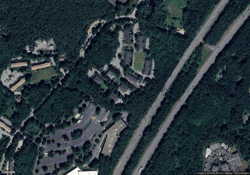
Map
Nearby Homes
- 42 Swanson Ct Unit 14A
- 53 Swanson Ct Unit 36C
- 50 Spencer Rd Unit 36
- 58 Spencer Rd Unit 18K
- 220 Swanson Rd Unit 605
- 220 Swanson Rd Unit 606
- 176 Swanson Rd Unit 309
- 89 School House Ln
- 1155 Burroughs Rd
- 310 Codman Hill Rd Unit 35D
- 139 Picnic St
- 166 Littleton Rd Unit 3
- 63 Leonard Rd Unit 63
- 777 Depot Rd
- 24 Fairbanks St
- 4 Bolton Rd
- 11 Fairbanks St Unit 2
- 62 Waite Rd
- 5 Fairbank St
- 332 Old Littleton Rd
- 52 Swanson Ct Unit 36B
- 52 Swanson Ct Unit 35B
- 52 Swanson Ct Unit 34B
- 52 Swanson Ct Unit 33B
- 52 Swanson Ct Unit 32B
- 52 Swanson Ct Unit 31B
- 52 Swanson Ct Unit 26B
- 52 Swanson Ct Unit 25B
- 52 Swanson Ct Unit 24B
- 52 Swanson Ct Unit 23B
- 52 Swanson Ct Unit 22B
- 52 Swanson Ct Unit 21B
- 52 Swanson Ct Unit 16B
- 52 Swanson Ct Unit 14B
- 52 Swanson Ct Unit 13B
- 52 Swanson Ct Unit 12B
- 52 Swanson Ct Unit 11B
- 52 Swanson Ct Unit B34
- 52 Swanson Ct Unit Bldg B 34
- 52 Swanson Ct