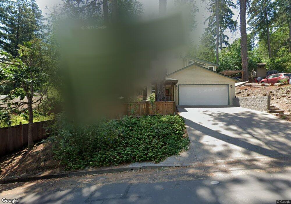
52 W 31st Ave Eugene, OR 97405
Crest Drive NeighborhoodEstimated Value: $527,923 - $826,000
3
Beds
3
Baths
1,830
Sq Ft
$370/Sq Ft
Est. Value
About This Home
This home is located at 52 W 31st Ave, Eugene, OR 97405 and is currently estimated at $676,981, approximately $369 per square foot. 52 W 31st Ave is a home located in Lane County with nearby schools including Adams Elementary School, Spencer Butte Middle School, and South Eugene High School.
Ownership History
Date
Name
Owned For
Owner Type
Purchase Details
Closed on
Dec 4, 2024
Sold by
Coleman Family Trust and Coleman Shelley Sue
Bought by
Hajarizadeh Michael and Hajarizadeh Alexis Nicole
Current Estimated Value
Home Financials for this Owner
Home Financials are based on the most recent Mortgage that was taken out on this home.
Original Mortgage
$225,000
Outstanding Balance
$222,795
Interest Rate
6.72%
Mortgage Type
VA
Estimated Equity
$454,186
Purchase Details
Closed on
Apr 1, 2020
Sold by
Coleman Robert G and Coleman Shelley S
Bought by
Coleman Robert Gerald and Coleman Family Trust
Create a Home Valuation Report for This Property
The Home Valuation Report is an in-depth analysis detailing your home's value as well as a comparison with similar homes in the area
Home Values in the Area
Average Home Value in this Area
Purchase History
| Date | Buyer | Sale Price | Title Company |
|---|---|---|---|
| Hajarizadeh Michael | $385,000 | Western Title | |
| Hajarizadeh Michael | $385,000 | Western Title | |
| Coleman Robert Gerald | -- | None Available |
Source: Public Records
Mortgage History
| Date | Status | Borrower | Loan Amount |
|---|---|---|---|
| Open | Hajarizadeh Michael | $225,000 | |
| Closed | Hajarizadeh Michael | $225,000 |
Source: Public Records
Tax History
| Year | Tax Paid | Tax Assessment Tax Assessment Total Assessment is a certain percentage of the fair market value that is determined by local assessors to be the total taxable value of land and additions on the property. | Land | Improvement |
|---|---|---|---|---|
| 2025 | $8,064 | $413,861 | -- | -- |
| 2024 | $7,963 | $401,807 | -- | -- |
| 2023 | $7,963 | $390,104 | $0 | $0 |
| 2022 | $7,460 | $378,742 | $0 | $0 |
| 2021 | $7,007 | $367,711 | $0 | $0 |
| 2020 | $7,032 | $357,001 | $0 | $0 |
| 2019 | $6,791 | $346,603 | $0 | $0 |
| 2018 | $6,392 | $326,707 | $0 | $0 |
| 2017 | $6,106 | $326,707 | $0 | $0 |
| 2016 | $5,839 | $317,191 | $0 | $0 |
| 2015 | $5,581 | $307,952 | $0 | $0 |
| 2014 | $5,517 | $298,983 | $0 | $0 |
Source: Public Records
Map
Nearby Homes
- 2965 Olive St
- 2950 Ferry St
- 478 E 32nd Ave
- 3023 Hummingbird Ln
- 3031 Hummingbird Ln
- 0 Hidden Meadows
- 605 Fulvue Dr
- 357 W 37th Ave
- 3593 Lawrence St
- 790 E 32nd Ave
- 2815 Hilyard St
- 275 E 39th Ave
- 1 Storey Blvd
- 2 Storey Blvd
- 2990 Kincaid St
- 3855 Ferry St
- 3160 Whitten Dr
- 2683 Alder St
- 434 E 39th Ave
- 0 E 39th Ave
- 3110 Portland St
- 3140 Portland St
- 3150 Portland St
- 73 Prall Ln
- 3125 Portland St
- 3090 Portland St
- 62 W 31st Ave
- 40 W 31st Ave
- 3164 Portland St
- 51 W 31st Ave
- 3135 Portland St
- 29 W 31st Ave
- 77 Prall Ln
- 3175 Portland St
- 55 W 31st Ave
- 3091 Portland St
- 55 Prall Ln
- 3145 Portland St
- 20 W 31st Ave
- 61 W 31st Ave
Your Personal Tour Guide
Ask me questions while you tour the home.