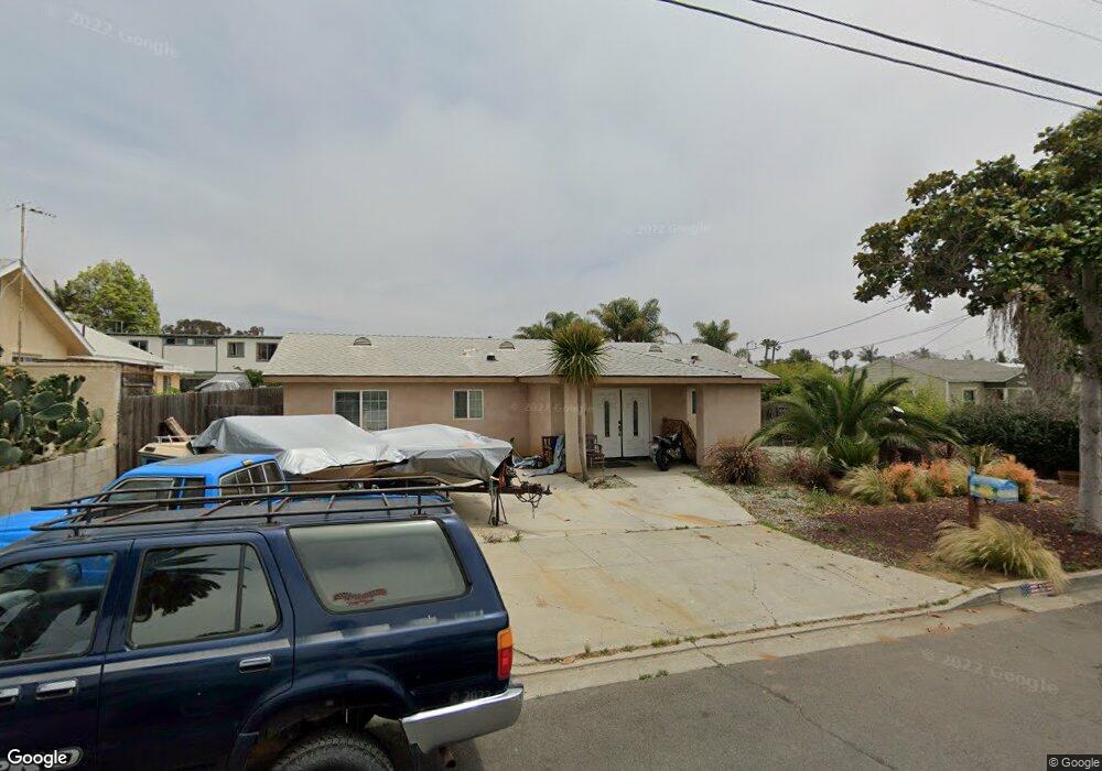
520 Brooks St Oceanside, CA 92054
Downtown Oceanside NeighborhoodEstimated Value: $1,100,001 - $1,338,000
2
Beds
2
Baths
1,475
Sq Ft
$854/Sq Ft
Est. Value
About This Home
This home is located at 520 Brooks St, Oceanside, CA 92054 and is currently estimated at $1,259,500, approximately $853 per square foot. 520 Brooks St is a home located in San Diego County with nearby schools including Laurel Elementary School, Lincoln Middle School, and Oceanside High School.
Ownership History
Date
Name
Owned For
Owner Type
Purchase Details
Closed on
Oct 4, 1994
Sold by
Home Svgs Of America Fsb
Bought by
Polovitch Diane S
Current Estimated Value
Home Financials for this Owner
Home Financials are based on the most recent Mortgage that was taken out on this home.
Original Mortgage
$48,800
Interest Rate
5.75%
Create a Home Valuation Report for This Property
The Home Valuation Report is an in-depth analysis detailing your home's value as well as a comparison with similar homes in the area
Home Values in the Area
Average Home Value in this Area
Purchase History
| Date | Buyer | Sale Price | Title Company |
|---|---|---|---|
| Polovitch Diane S | $61,000 | -- |
Source: Public Records
Mortgage History
| Date | Status | Borrower | Loan Amount |
|---|---|---|---|
| Closed | Polovitch Diane S | $48,800 |
Source: Public Records
Tax History
| Year | Tax Paid | Tax Assessment Tax Assessment Total Assessment is a certain percentage of the fair market value that is determined by local assessors to be the total taxable value of land and additions on the property. | Land | Improvement |
|---|---|---|---|---|
| 2025 | $4,438 | $400,203 | $221,651 | $178,552 |
| 2024 | $4,438 | $392,356 | $217,305 | $175,051 |
| 2023 | $4,302 | $384,664 | $213,045 | $171,619 |
| 2022 | $4,237 | $377,122 | $208,868 | $168,254 |
| 2021 | $4,253 | $369,728 | $204,773 | $164,955 |
| 2020 | $4,122 | $365,938 | $202,674 | $163,264 |
| 2019 | $4,003 | $358,763 | $198,700 | $160,063 |
| 2018 | $3,961 | $351,729 | $194,804 | $156,925 |
| 2017 | $70 | $344,834 | $190,985 | $153,849 |
| 2016 | $3,762 | $338,074 | $187,241 | $150,833 |
| 2015 | $3,653 | $332,997 | $184,429 | $148,568 |
| 2014 | $3,513 | $326,475 | $180,817 | $145,658 |
Source: Public Records
Map
Nearby Homes
- 509 Rockledge St
- 1635 E Minnesota Ave Unit 1,3
- 520 Grant St
- 911 Minnesota Ave
- 503 505 N Nevada St
- 1223 Division St
- 1120 Sea Glass Way
- 1121 Makena Way
- 301 S Horne St
- 909 Leonard Ave
- 324 S Nevada St
- 525 S Freeman St
- 1009 S Coast Hwy
- 522 S Cleveland St Unit 7
- 122 Beechwood Ln
- 35 Parkwood Ln
- 907 S Tremont St
- 1786 Jasmine Way
- 465 S Cleveland St Unit 103
- 514 S Myers St
- 514 Brooks St
- 526 Brooks St
- 517 Rockledge St Unit 21
- 510 Brooks St
- 530 Brooks St
- 525 Rockledge St
- 511 Rockledge St
- 515 Rockledge St Unit A
- 517 Brooks St
- 521 Brooks St
- 531 Rockledge St
- 515 Brooks St
- 536 Brooks St
- 525 Brooks St
- 507 Rockledge St
- 1501 Missouri Ave
- 509 Brooks St
- 529 Brooks St
- 535 Rockledge St
- 505 Brooks St
Your Personal Tour Guide
Ask me questions while you tour the home.