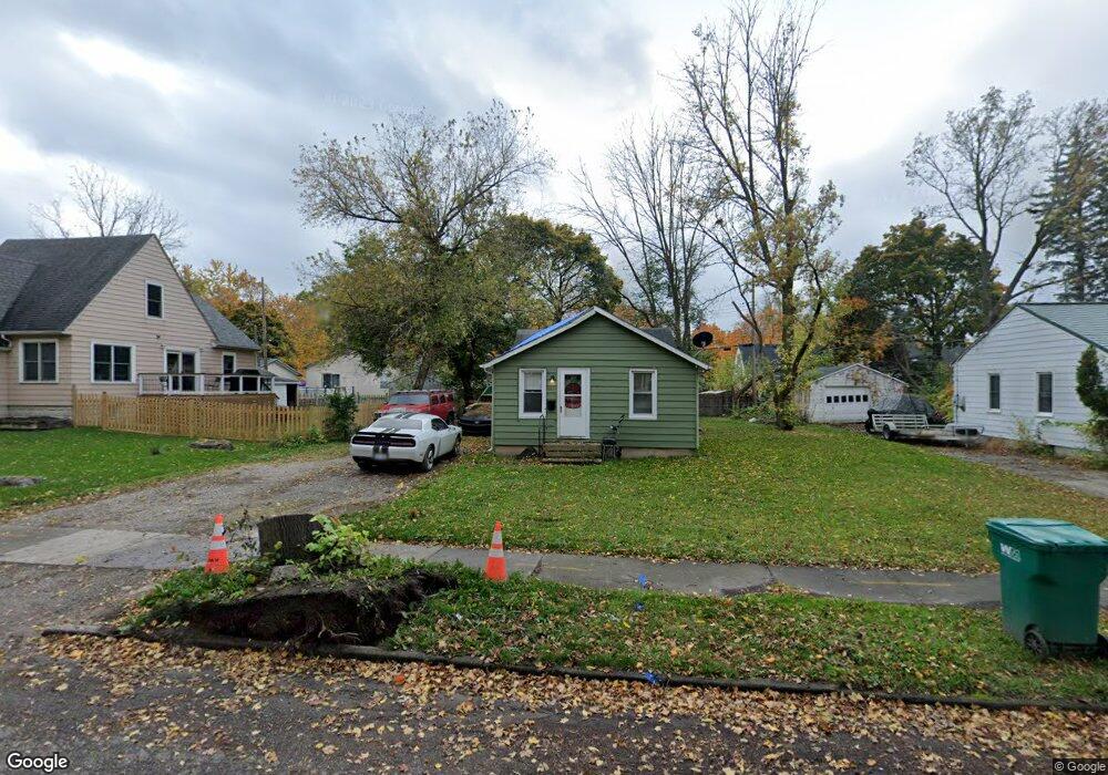
520 Jessop Ave Lansing, MI 48910
Old Everett NeighborhoodEstimated Value: $88,000 - $116,000
Studio
--
Bath
682
Sq Ft
$150/Sq Ft
Est. Value
About This Home
This home is located at 520 Jessop Ave, Lansing, MI 48910 and is currently estimated at $102,109, approximately $149 per square foot. 520 Jessop Ave is a home located in Ingham County with nearby schools including Kendon School, Attwood School, and Everett High School.
Ownership History
Date
Name
Owned For
Owner Type
Purchase Details
Closed on
Oct 26, 2013
Sold by
Elliott Annette M
Bought by
Elliott Michael W
Current Estimated Value
Purchase Details
Closed on
Nov 3, 2011
Sold by
Elliot Michael W
Bought by
Elliot Michael W
Purchase Details
Closed on
Apr 1, 1995
Purchase Details
Closed on
May 1, 1993
Create a Home Valuation Report for This Property
The Home Valuation Report is an in-depth analysis detailing your home's value as well as a comparison with similar homes in the area
Home Values in the Area
Average Home Value in this Area
Purchase History
| Date | Buyer | Sale Price | Title Company |
|---|---|---|---|
| Elliott Michael W | -- | None Available | |
| Elliot Michael W | -- | None Available | |
| -- | $49,500 | -- | |
| -- | $45,500 | -- |
Source: Public Records
Tax History
| Year | Tax Paid | Tax Assessment Tax Assessment Total Assessment is a certain percentage of the fair market value that is determined by local assessors to be the total taxable value of land and additions on the property. | Land | Improvement |
|---|---|---|---|---|
| 2025 | $2,234 | $52,400 | $6,400 | $46,000 |
| 2024 | $17 | $45,900 | $6,400 | $39,500 |
| 2023 | $2,096 | $41,300 | $6,400 | $34,900 |
| 2022 | $1,892 | $36,600 | $6,200 | $30,400 |
| 2021 | $1,853 | $34,700 | $3,800 | $30,900 |
| 2020 | $1,842 | $32,900 | $3,800 | $29,100 |
| 2019 | $1,764 | $29,300 | $3,800 | $25,500 |
| 2018 | $1,655 | $29,500 | $3,800 | $25,700 |
| 2017 | $1,584 | $29,500 | $3,800 | $25,700 |
| 2016 | $1,532 | $28,000 | $3,800 | $24,200 |
| 2015 | $1,532 | $26,800 | $7,640 | $19,160 |
| 2014 | $1,532 | $26,700 | $5,618 | $21,082 |
Source: Public Records
Map
Nearby Homes
- 522 E Cavanaugh Rd
- 601 Jessop Ave
- 600 E Cavanaugh Rd
- 629 Emily Ave
- 709 Jessop Ave
- 3805 Donald St
- 705 Hunter Blvd
- 817 Jessop Ave
- 801 Jessop Ave
- 106 E Everettdale Ave
- 4022 Stabler St
- 111 E Potter Ave
- 616 Glendale Ave
- 0 Glenwood Ave
- 201 E Syringa Dr
- 221 W Everettdale Ave
- 3907 Glenwood Ave
- 3603 Parkway Dr
- 3533 Glenwood Ave
- 4806 Lyncott Dr
- 516 Jessop Ave
- 530 Jessop Ave
- 512 Jessop Ave
- 523 E Cavanaugh Rd
- 519 E Cavanaugh Rd
- 532 Jessop Ave
- 515 E Cavanaugh Rd
- 533 E Cavanaugh Rd
- 521 Jessop Ave
- 525 Jessop Ave
- 513 Jessop Ave
- 536 Jessop Ave
- 529 Jessop Ave
- 535 E Cavanaugh Rd
- 533 Jessop Ave
- 542 Jessop Ave
- 537 Jessop Ave
- 545 E Cavanaugh Rd
- 522 Fenton St
- 516 Fenton St
Your Personal Tour Guide
Ask me questions while you tour the home.