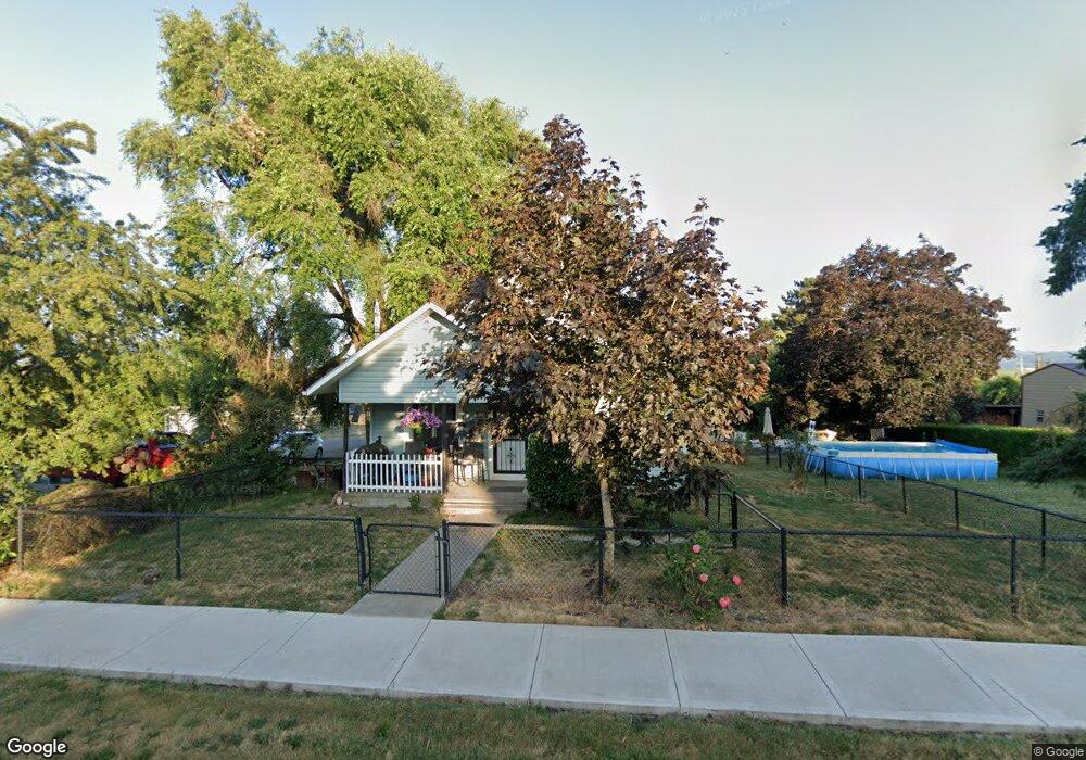
520 N Maple St Yamhill, OR 97148
Estimated Value: $410,000 - $728,000
2
Beds
1
Bath
1,064
Sq Ft
$486/Sq Ft
Est. Value
About This Home
This home is located at 520 N Maple St, Yamhill, OR 97148 and is currently estimated at $516,867, approximately $485 per square foot. 520 N Maple St is a home located in Yamhill County with nearby schools including Yamhill Carlton Elementary School, Yamhill Carlton Intermediate School, and Yamhill Carlton High School.
Ownership History
Date
Name
Owned For
Owner Type
Purchase Details
Closed on
Aug 18, 2005
Sold by
Bessonette Thomas A and Bessonette Bettie M
Bought by
Owen John E and Owen Amber D
Current Estimated Value
Home Financials for this Owner
Home Financials are based on the most recent Mortgage that was taken out on this home.
Original Mortgage
$140,600
Outstanding Balance
$72,920
Interest Rate
5.56%
Mortgage Type
Fannie Mae Freddie Mac
Estimated Equity
$443,947
Create a Home Valuation Report for This Property
The Home Valuation Report is an in-depth analysis detailing your home's value as well as a comparison with similar homes in the area
Home Values in the Area
Average Home Value in this Area
Purchase History
| Date | Buyer | Sale Price | Title Company |
|---|---|---|---|
| Owen John E | $148,000 | Ticor Title Insurance Co |
Source: Public Records
Mortgage History
| Date | Status | Borrower | Loan Amount |
|---|---|---|---|
| Open | Owen John E | $140,600 |
Source: Public Records
Tax History Compared to Growth
Tax History
| Year | Tax Paid | Tax Assessment Tax Assessment Total Assessment is a certain percentage of the fair market value that is determined by local assessors to be the total taxable value of land and additions on the property. | Land | Improvement |
|---|---|---|---|---|
| 2025 | $2,686 | $179,864 | -- | -- |
| 2024 | $2,609 | $174,625 | -- | -- |
| 2023 | $2,538 | $169,539 | $0 | $0 |
| 2022 | $2,471 | $164,601 | $0 | $0 |
| 2021 | $2,409 | $159,807 | $0 | $0 |
| 2020 | $2,483 | $155,152 | $0 | $0 |
| 2019 | $2,408 | $150,633 | $0 | $0 |
| 2018 | $2,276 | $146,246 | $0 | $0 |
| 2017 | $2,221 | $141,986 | $0 | $0 |
| 2016 | $2,167 | $137,850 | $0 | $0 |
| 2015 | $1,917 | $133,836 | $0 | $0 |
| 2014 | $1,875 | $129,939 | $0 | $0 |
Source: Public Records
Map
Nearby Homes
- 580 N Maple St
- 160 NW Erica St
- 490 N Maple St
- 535 N Maple St
- 585 N Olive St
- 585 N Maple St
- 525 N Olive St
- 420 N Maple St
- 140 W Dahlia St
- 417 N Olive St
- 7120 NW Pike Rd
- 150 W Dahlia St
- 190 E Erica St
- 17830 Highway 47
- 170 W Dahlia St
- 194 E Erica St
- 370 N Maple St
- 17834 Highway 47
- 680 W Dahlia St
- 670 W Dahlia St