520 Shug Mountain Rd Oneida, TN 37841
Estimated Value: $388,000 - $470,387
3
Beds
2
Baths
1,415
Sq Ft
$307/Sq Ft
Est. Value
About This Home
This home is located at 520 Shug Mountain Rd, Oneida, TN 37841 and is currently estimated at $434,347, approximately $306 per square foot. 520 Shug Mountain Rd is a home located in Scott County with nearby schools including Scott High School.
Ownership History
Date
Name
Owned For
Owner Type
Purchase Details
Closed on
Jun 29, 2020
Sold by
Brewster David
Bought by
Sylvina John Armand and Rutledge Eric Phillip
Current Estimated Value
Home Financials for this Owner
Home Financials are based on the most recent Mortgage that was taken out on this home.
Original Mortgage
$239,020
Outstanding Balance
$211,947
Interest Rate
3.1%
Mortgage Type
New Conventional
Estimated Equity
$222,400
Purchase Details
Closed on
Jan 20, 2009
Sold by
Brewster Gary M
Bought by
Brewster David R
Purchase Details
Closed on
Jan 15, 2007
Bought by
Brewster Gary M
Create a Home Valuation Report for This Property
The Home Valuation Report is an in-depth analysis detailing your home's value as well as a comparison with similar homes in the area
Home Values in the Area
Average Home Value in this Area
Purchase History
| Date | Buyer | Sale Price | Title Company |
|---|---|---|---|
| Sylvina John Armand | $251,600 | -- | |
| Brewster David R | $150,000 | -- | |
| Brewster Gary M | $35,000 | -- |
Source: Public Records
Mortgage History
| Date | Status | Borrower | Loan Amount |
|---|---|---|---|
| Open | Sylvina John Armand | $239,020 |
Source: Public Records
Tax History Compared to Growth
Tax History
| Year | Tax Paid | Tax Assessment Tax Assessment Total Assessment is a certain percentage of the fair market value that is determined by local assessors to be the total taxable value of land and additions on the property. | Land | Improvement |
|---|---|---|---|---|
| 2024 | $1,414 | $88,350 | $14,225 | $74,125 |
| 2023 | $1,414 | $88,350 | $14,225 | $74,125 |
| 2022 | $1,306 | $53,000 | $12,375 | $40,625 |
| 2021 | $1,306 | $53,000 | $12,375 | $40,625 |
| 2020 | $0 | $53,000 | $12,375 | $40,625 |
| 2019 | $1,306 | $53,000 | $12,375 | $40,625 |
| 2018 | $1,306 | $53,000 | $12,375 | $40,625 |
| 2017 | $1,288 | $52,275 | $11,125 | $41,150 |
| 2016 | $1,241 | $52,275 | $11,125 | $41,150 |
| 2015 | $1,178 | $52,275 | $11,125 | $41,150 |
| 2014 | $1,178 | $52,275 | $11,125 | $41,150 |
Source: Public Records
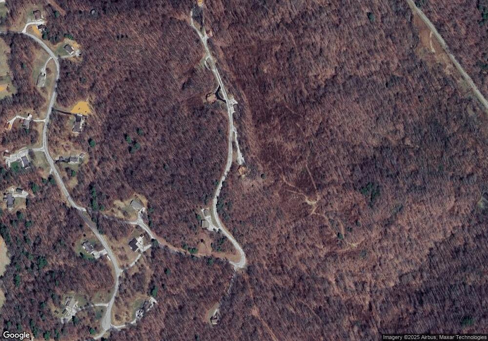
Map
Nearby Homes
- 636 Shug Mountain Rd
- 582 Chance Private Dr
- 0 Lot 3 Evergreen Dr Unit 1310679
- 0 Lot 1 Evergreen Dr Unit 1310672
- 0 Lot 2 Evergreen Dr Unit 1310678
- 0 Lot 4 Evergreen Dr Unit 1310682
- 1050 Jane Phillips Rd
- 0 Pine Hill Rd
- 5060 Buffalo Rd
- 0 Paint Rock Creek
- 5821 Buffalo Rd
- 815 Ross Cemetery Rd
- 121 Sexton Ln
- Lot 27-28 Summit Dr
- Lot 25-26 Summit Dr
- 276 Parkview Dr
- 3767 Phillips Flats Rd
- 1190 Sand Cut Rd
- 0 Buffalo Rd Unit 1310923
- 0 Buffalo Rd Unit 23634322
- 541 Shug Mountain Rd
- 177 Shug Mountain Rd
- 595 Shug Mountain Rd
- 611 Chance Private Dr
- 455 Chance Private Dr
- 316 Shug Mountain Rd
- 383 Chance Dr
- 681 Chance Private Dr
- 0 Chance Dr Lot 12 Unit 1158313
- 321 Chance Private Dr
- 656 Chance Private Dr
- 322 Chance Dr
- 400 Chance Private Dr
- 3538 Buffalo Rd
- 460 Chance Dr
- 277 Chance Dr
- 434 Chance Dr
- 434 Chance Private Dr
- 277 Chance Private Dr
- 686 Chance Private Dr