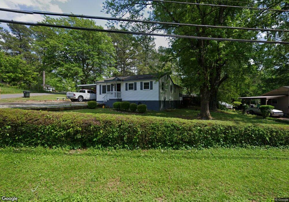
5200 Dorris St Chattanooga, TN 37410
Piney Woods NeighborhoodEstimated Value: $151,252 - $188,000
3
Beds
2
Baths
1,052
Sq Ft
$159/Sq Ft
Est. Value
About This Home
This home is located at 5200 Dorris St, Chattanooga, TN 37410 and is currently estimated at $167,063, approximately $158 per square foot. 5200 Dorris St is a home located in Hamilton County with nearby schools including Calvin Donaldson Environmental Science Academy, East Lake Academy Of Fine Arts, and The Howard School.
Ownership History
Date
Name
Owned For
Owner Type
Purchase Details
Closed on
Nov 16, 2001
Sold by
Walker Robert James
Bought by
Walker Twanda
Current Estimated Value
Purchase Details
Closed on
Mar 15, 1999
Sold by
Havert Holloway John
Bought by
Walker Robert James
Home Financials for this Owner
Home Financials are based on the most recent Mortgage that was taken out on this home.
Original Mortgage
$48,176
Outstanding Balance
$11,640
Interest Rate
6.73%
Mortgage Type
FHA
Estimated Equity
$155,423
Create a Home Valuation Report for This Property
The Home Valuation Report is an in-depth analysis detailing your home's value as well as a comparison with similar homes in the area
Home Values in the Area
Average Home Value in this Area
Purchase History
| Date | Buyer | Sale Price | Title Company |
|---|---|---|---|
| Walker Twanda | -- | Pioneer Title Agency Inc | |
| Walker Robert James | $48,200 | First Title |
Source: Public Records
Mortgage History
| Date | Status | Borrower | Loan Amount |
|---|---|---|---|
| Open | Walker Robert James | $48,176 |
Source: Public Records
Tax History Compared to Growth
Tax History
| Year | Tax Paid | Tax Assessment Tax Assessment Total Assessment is a certain percentage of the fair market value that is determined by local assessors to be the total taxable value of land and additions on the property. | Land | Improvement |
|---|---|---|---|---|
| 2024 | $434 | $19,400 | $0 | $0 |
| 2023 | $434 | $19,400 | $0 | $0 |
| 2022 | $434 | $19,400 | $0 | $0 |
| 2021 | $434 | $19,400 | $0 | $0 |
| 2020 | $460 | $16,625 | $0 | $0 |
| 2019 | $460 | $16,625 | $0 | $0 |
| 2018 | $505 | $16,625 | $0 | $0 |
| 2017 | $460 | $16,625 | $0 | $0 |
| 2016 | $458 | $0 | $0 | $0 |
| 2015 | $956 | $16,575 | $0 | $0 |
| 2014 | $956 | $0 | $0 | $0 |
Source: Public Records
Map
Nearby Homes
- 5220 Fagan St
- 5342 Slayton Ave
- Lots 7 & 5 Slayton Ave
- 0 Slayton Ave Unit 1504633
- 5413 Lee Ave
- 1014 Wilson Rd
- 5685 Lee Ave
- 4513 Highland Ave
- 4134 Quinn Adams St
- 1402 W 53rd St
- 4221 Quinn Adams St
- 4508 Balcomb St
- 0 E 42nd St Unit 1514348
- 4610 Tennessee Ave
- 5107 Beulah Ave
- 1313 W 46th St
- 4107 Fagan St
- 1311 W 45th St
- 4913 Virginia Ave
- 4609 Tennessee Ave
- 5204 Dorris St
- 5201 Fagan St
- 5208 Dorris St
- 5205 Fagan St
- 417 E 52nd St
- 413 E 52nd St
- 421 E 52nd St
- 421 E 52nd St Unit 12
- 5209 Fagan St
- 409 E 52nd St
- 5201 Dorris St
- 5205 Dorris St
- 5212 Dorris St
- 0 Lynchburg Ave
- 0 Lynchburg Ave Unit 1108699
- 0 Lynchburg Ave Unit 1094536
- 0 Lynchburg Ave Unit 1221455
- 0 Lynchburg Ave Unit 1143950
- 425 E 52nd St
- 405 E 52nd St