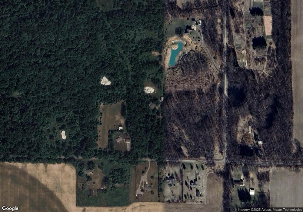
5200 Stimson Rd Eaton Rapids, MI 48827
Estimated Value: $311,901 - $371,000
3
Beds
2
Baths
1,964
Sq Ft
$169/Sq Ft
Est. Value
About This Home
This home is located at 5200 Stimson Rd, Eaton Rapids, MI 48827 and is currently estimated at $332,475, approximately $169 per square foot. 5200 Stimson Rd is a home located in Ingham County with nearby schools including Lockwood Elementary School, Greyhound Intermediate School, and Eaton Rapids Middle School.
Ownership History
Date
Name
Owned For
Owner Type
Purchase Details
Closed on
Apr 24, 2009
Sold by
Lownsbery Gail R and Lownsbery Barbara
Bought by
Lownsbery David and Lownsbery Deborah
Current Estimated Value
Home Financials for this Owner
Home Financials are based on the most recent Mortgage that was taken out on this home.
Original Mortgage
$129,500
Interest Rate
4.85%
Mortgage Type
New Conventional
Create a Home Valuation Report for This Property
The Home Valuation Report is an in-depth analysis detailing your home's value as well as a comparison with similar homes in the area
Home Values in the Area
Average Home Value in this Area
Purchase History
| Date | Buyer | Sale Price | Title Company |
|---|---|---|---|
| Lownsbery David | -- | Michigan Bankers Title |
Source: Public Records
Mortgage History
| Date | Status | Borrower | Loan Amount |
|---|---|---|---|
| Closed | Lownsbery David | $129,500 |
Source: Public Records
Tax History Compared to Growth
Tax History
| Year | Tax Paid | Tax Assessment Tax Assessment Total Assessment is a certain percentage of the fair market value that is determined by local assessors to be the total taxable value of land and additions on the property. | Land | Improvement |
|---|---|---|---|---|
| 2025 | $3,772 | $162,100 | $36,400 | $125,700 |
| 2024 | $3,443 | $160,800 | $36,400 | $124,400 |
| 2023 | $3,183 | $140,700 | $32,200 | $108,500 |
| 2022 | $3,183 | $123,300 | $30,500 | $92,800 |
| 2021 | $3,067 | $125,100 | $0 | $0 |
| 2020 | $3,031 | $120,300 | $0 | $0 |
| 2019 | $2,950 | $108,300 | $30,500 | $77,800 |
| 2018 | $3,042 | $96,800 | $30,500 | $66,300 |
| 2017 | $2,757 | $96,800 | $30,500 | $66,300 |
| 2016 | -- | $85,600 | $26,400 | $59,200 |
| 2015 | -- | $89,200 | $60,298 | $28,902 |
| 2014 | -- | $79,300 | $33,550 | $45,750 |
Source: Public Records
Map
Nearby Homes
- 3863 Delano Dr
- Vl Gale Rd
- 2407 Gale Rd
- S Gale Rd
- 6280 Kinneville Rd
- 4662 W Barnes Rd
- 0 Bond Rd Unit 291019
- 0 Edgar Rd Unit 290334
- 0 S Edgar Rd Lot I
- 3888 W Barnes Rd
- 6607 O'Mara Dr
- 0 S Aurelius Rd Unit 292647
- 5 W Barnes Rd
- Parcel 4 Oakridge Dr
- Parcel 1 Oakridge Dr
- 2968 Tuttle Rd
- VL Tucker Rd Lot#wp001
- Vl Tucker Rd Lot Unit WP001
- 10307 Holmes Hwy
- 5710 Houston Rd
- 5220 Stimson Rd
- 3182 Gould Rd
- 5185 Stimson Rd
- 5207 Stimson Rd
- 5165 Stimson Rd
- 5225 Stimson Rd
- 5101 Stimson Rd
- Vac Vac Land Stimson Rd
- 5104 Stimson Rd
- 5205 Ferris Rd
- 0 Stimson Rd Unit 220842
- 3050 Gould Rd
- 5211 Ferris Rd
- 3091 Gould Rd
- 3051 Gould Rd
- 3025 Gould Rd
- 5305 Ferris Rd
- 3099 Onondaga Rd
- 5184 Ferris Rd
- 3410 Crain Rd
