5201 Mcgowan Dr Cedar Rapids, IA 52403
Estimated Value: $340,000 - $445,257
4
Beds
2
Baths
1,691
Sq Ft
$224/Sq Ft
Est. Value
About This Home
This home is located at 5201 Mcgowan Dr, Cedar Rapids, IA 52403 and is currently estimated at $378,086, approximately $223 per square foot. 5201 Mcgowan Dr is a home located in Linn County with nearby schools including Summit Elementary School, Erskine Elementary School, and McKinley STEAM Academy.
Ownership History
Date
Name
Owned For
Owner Type
Purchase Details
Closed on
Aug 26, 1999
Sold by
Fisher Robert A and Fiser Amy A
Bought by
Button David C and Button Kathleen
Current Estimated Value
Home Financials for this Owner
Home Financials are based on the most recent Mortgage that was taken out on this home.
Original Mortgage
$164,000
Outstanding Balance
$47,836
Interest Rate
7.61%
Estimated Equity
$330,250
Create a Home Valuation Report for This Property
The Home Valuation Report is an in-depth analysis detailing your home's value as well as a comparison with similar homes in the area
Home Values in the Area
Average Home Value in this Area
Purchase History
| Date | Buyer | Sale Price | Title Company |
|---|---|---|---|
| Button David C | $190,500 | -- |
Source: Public Records
Mortgage History
| Date | Status | Borrower | Loan Amount |
|---|---|---|---|
| Open | Button David C | $164,000 |
Source: Public Records
Tax History Compared to Growth
Tax History
| Year | Tax Paid | Tax Assessment Tax Assessment Total Assessment is a certain percentage of the fair market value that is determined by local assessors to be the total taxable value of land and additions on the property. | Land | Improvement |
|---|---|---|---|---|
| 2025 | $3,444 | $339,600 | $81,600 | $258,000 |
| 2024 | $3,772 | $321,200 | $81,600 | $239,600 |
| 2023 | $3,772 | $321,200 | $81,600 | $239,600 |
| 2022 | $3,710 | $279,700 | $81,600 | $198,100 |
| 2021 | $3,724 | $279,700 | $81,600 | $198,100 |
| 2020 | $3,724 | $259,700 | $65,900 | $193,800 |
| 2019 | $3,446 | $245,800 | $65,900 | $179,900 |
| 2018 | $3,362 | $245,800 | $65,900 | $179,900 |
| 2017 | $3,356 | $234,800 | $65,900 | $168,900 |
| 2016 | $3,400 | $234,800 | $65,900 | $168,900 |
| 2015 | $3,416 | $234,800 | $65,900 | $168,900 |
| 2014 | $3,288 | $234,800 | $65,900 | $168,900 |
| 2013 | $3,218 | $234,800 | $65,900 | $168,900 |
Source: Public Records
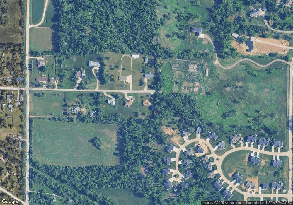
Map
Nearby Homes
- 5658 Meadow Grass Cir SE
- 5750 Meadow Grass Cir SE
- 5638 Meadow Grass Cir SE
- 819 Tumble Grass Ct SE
- 827 Tumble Grass Ct SE
- 4809 Mcgowan Dr
- 6936 Hackberry Loop
- 6932 Hackberry Loop
- 6849 Pumpkin Patch Blvd
- 6485 Cabbage Patch Place
- 6876 Bottom Land Ln
- 6859 Pumpkin Patch Blvd
- 6934 Hackberry Loop
- 921 Rosedale Rd SE
- 5029 Broadlawn Dr SE
- 1223 Vernon Hill Blvd
- 1209 Rose St
- 808 Green Valley Terrace SE
- 4725 Green Valley Dr SE
- 725 E Post Ct SE Unit 725C
- 5101 Mcgowan Dr
- 5200 Mcgowan Dr
- 5100 Mcgowan Dr
- 5001 Mcgowan Dr
- Wild Rye Ct SE
- 5558 Wild Rye Ct SE
- 5514 Wild Rye Ct SE
- 5472 Wild Rye Ct SE
- 5586 Wild Rye Ct SE
- 4900 Mcgowan Dr
- 5430 Wild Rye Ct SE
- 5527 Wild Rye Ct
- 5469 Wild Rye Ct SE
- 5622 Wild Rye Ct SE
- 502 Wilder Dr
- LOT 11 Wild Rye Ct SE
- 5388 Wild Rye Ct SE
- 4800 Mcgowan Dr
- 5409 Wild Rye Ct SE
- 0 Wild Rye Ct