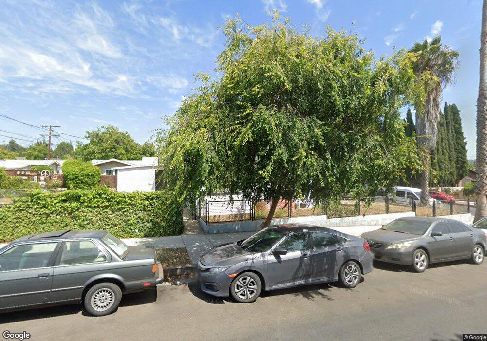
5201 Stratford Rd Los Angeles, CA 90042
Estimated Value: $885,000 - $969,000
2
Beds
1
Bath
858
Sq Ft
$1,080/Sq Ft
Est. Value
About This Home
This home is located at 5201 Stratford Rd, Los Angeles, CA 90042 and is currently estimated at $926,456, approximately $1,079 per square foot. 5201 Stratford Rd is a home located in Los Angeles County with nearby schools including Buchanan Street Elementary, Benjamin Franklin High School, and Luther Burbank Middle School.
Ownership History
Date
Name
Owned For
Owner Type
Purchase Details
Closed on
Jun 21, 2017
Sold by
Villalobos Donna
Bought by
Villalobos Donna and Donna Villalobos 2017 Trust
Current Estimated Value
Purchase Details
Closed on
Jan 7, 2014
Sold by
Villalobos Charles
Bought by
Villalobos Donna
Purchase Details
Closed on
Jun 7, 1995
Sold by
Gutierrez Jose Ramos and Ramos Julia Esparza
Bought by
Villalobos Charles
Home Financials for this Owner
Home Financials are based on the most recent Mortgage that was taken out on this home.
Original Mortgage
$128,783
Interest Rate
7.63%
Mortgage Type
FHA
Purchase Details
Closed on
Sep 7, 1994
Sold by
Esparza Ernesto Ramos
Bought by
Gutierrez Jose Ramos
Create a Home Valuation Report for This Property
The Home Valuation Report is an in-depth analysis detailing your home's value as well as a comparison with similar homes in the area
Home Values in the Area
Average Home Value in this Area
Purchase History
| Date | Buyer | Sale Price | Title Company |
|---|---|---|---|
| Villalobos Donna | -- | None Available | |
| Villalobos Donna | -- | None Available | |
| Villalobos Charles | $130,000 | Commonwealth Land Title | |
| Gutierrez Jose Ramos | -- | Commonwealth Land Title Co |
Source: Public Records
Mortgage History
| Date | Status | Borrower | Loan Amount |
|---|---|---|---|
| Previous Owner | Villalobos Charles | $128,783 |
Source: Public Records
Tax History Compared to Growth
Tax History
| Year | Tax Paid | Tax Assessment Tax Assessment Total Assessment is a certain percentage of the fair market value that is determined by local assessors to be the total taxable value of land and additions on the property. | Land | Improvement |
|---|---|---|---|---|
| 2025 | $2,753 | $215,936 | $148,336 | $67,600 |
| 2024 | $2,753 | $211,703 | $145,428 | $66,275 |
| 2023 | $2,703 | $207,553 | $142,577 | $64,976 |
| 2022 | $2,580 | $203,484 | $139,782 | $63,702 |
| 2021 | $2,546 | $199,495 | $137,042 | $62,453 |
| 2019 | $2,472 | $193,579 | $132,978 | $60,601 |
| 2018 | $2,405 | $189,784 | $130,371 | $59,413 |
| 2016 | $2,293 | $182,416 | $125,309 | $57,107 |
| 2015 | $2,261 | $179,677 | $123,427 | $56,250 |
| 2014 | $2,277 | $176,159 | $121,010 | $55,149 |
Source: Public Records
Map
Nearby Homes
- 5252 Range View Ave
- 5117 Stratford Rd
- 1813 N Avenue 53
- 5240 Barker Dr
- 1813 N Avenue 55
- 5125 Buchanan St
- 1932 Phillips Way
- 1942 Phillips Way
- 1938 Phillips Way
- 1915 N Avenue 52
- 1902 N Avenue 51
- 1815 Nolden St
- 1370 N Avenue 57
- 1113 N Avenue 50
- 4925 Buchanan St
- 5055 Hub St
- 829 N Avenue 53
- 1037 N Avenue 50
- 1048 Dexter St
- 4854 Buchanan St
- 5207 Stratford Rd
- 5213 Stratford Rd
- 1680 N Avenue 52
- 1680 N Ave 52
- 1680 North Avenue 52
- 5157 Stratford Rd
- 5206 Range View Ave
- 5153 Stratford Rd
- 5217 Stratford Rd
- 5200 Stratford Rd
- 1688 North Avenue 52
- 5212 Range View Ave
- 1688 N Avenue 52
- 5156 Range View Ave
- 5147 Stratford Rd
- 5206 Stratford Rd
- 5152 Range View Ave
- 5221 Stratford Rd
- 5216 Range View Ave
- 5212 Stratford Rd