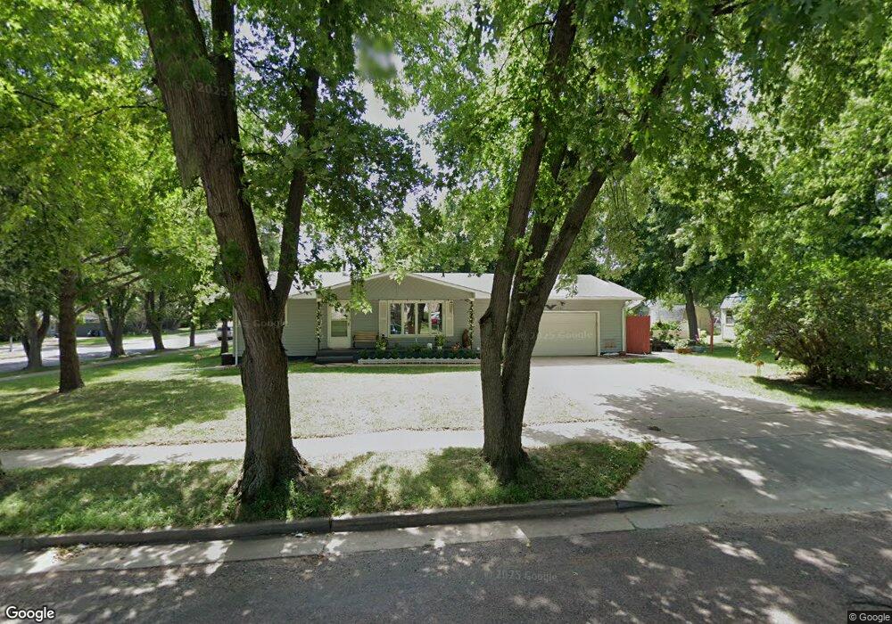
5201 W 47th St Sioux Falls, SD 57106
Southwest Sioux Falls NeighborhoodEstimated Value: $300,707 - $323,000
3
Beds
3
Baths
1,446
Sq Ft
$213/Sq Ft
Est. Value
About This Home
This home is located at 5201 W 47th St, Sioux Falls, SD 57106 and is currently estimated at $307,677, approximately $212 per square foot. 5201 W 47th St is a home located in Minnehaha County with nearby schools including Oscar Howe Elementary School, Memorial Middle School, and Roosevelt High School.
Ownership History
Date
Name
Owned For
Owner Type
Purchase Details
Closed on
Jan 31, 2017
Sold by
Nordling Chad D
Bought by
Symes Patrick J
Current Estimated Value
Home Financials for this Owner
Home Financials are based on the most recent Mortgage that was taken out on this home.
Original Mortgage
$127,920
Outstanding Balance
$104,340
Interest Rate
4.2%
Mortgage Type
Purchase Money Mortgage
Estimated Equity
$203,337
Create a Home Valuation Report for This Property
The Home Valuation Report is an in-depth analysis detailing your home's value as well as a comparison with similar homes in the area
Home Values in the Area
Average Home Value in this Area
Purchase History
| Date | Buyer | Sale Price | Title Company |
|---|---|---|---|
| Symes Patrick J | -- | None Available |
Source: Public Records
Mortgage History
| Date | Status | Borrower | Loan Amount |
|---|---|---|---|
| Open | Symes Patrick J | $127,920 |
Source: Public Records
Tax History Compared to Growth
Tax History
| Year | Tax Paid | Tax Assessment Tax Assessment Total Assessment is a certain percentage of the fair market value that is determined by local assessors to be the total taxable value of land and additions on the property. | Land | Improvement |
|---|---|---|---|---|
| 2024 | $3,613 | $257,000 | $35,900 | $221,100 |
| 2023 | $3,971 | $274,000 | $35,900 | $238,100 |
| 2022 | $3,313 | $213,200 | $35,900 | $177,300 |
| 2021 | $2,803 | $180,500 | $0 | $0 |
| 2020 | $2,803 | $171,400 | $0 | $0 |
| 2019 | $2,894 | $174,542 | $0 | $0 |
| 2018 | $2,642 | $165,168 | $0 | $0 |
| 2017 | $2,423 | $159,456 | $28,080 | $131,376 |
| 2016 | $2,423 | $145,442 | $28,080 | $117,362 |
| 2015 | $2,394 | $138,172 | $28,080 | $110,092 |
| 2014 | -- | $134,017 | $28,080 | $105,937 |
Source: Public Records
Map
Nearby Homes
- 5208 W 47th St
- 5212 W 47th St
- 5008 W 49th St
- 4504 S Marion Rd
- 3712 S Terry Ave Unit 103
- 3712 S Terry Ave Unit 201
- 3608 S Gateway Blvd Unit 304
- 3604 S Gateway Blvd Unit 204
- 3600 S Gateway Blvd Unit 104
- 3600 S Gateway Blvd Unit 201
- 3552 S Gateway Blvd Unit 102
- 3552 S Gateway Blvd Unit 301
- 3552 S Gateway Blvd Unit 104
- 3552 S Gateway Blvd Unit 204
- 3556 S Gateway Blvd Unit 203
- 5805 W 50th St
- 3512 S Gateway Ln Unit 101
- 5621 W Bluestem St
- 5705 W 43rd St
- 5113 W 40th St
- 4005 S Cathy Ave
- 4009 S Cathy Ave
- 3912 S Marion Rd
- 5110 W 47th St
- 5108 W 47th St
- 4000 S Marion Rd
- 4013 S Cathy Ave
- 5106 W 47th St
- 5104 W 47th St
- 5109 W 47th St
- 4004 S Marion Rd
- 5105 W 47th St
- 4017 S Cathy Ave
- 4004 S Cathy Ave
- 5102 W 47th St
- 5100 W 47th St
- 4008 S Marion Rd
- 4001 S Watson Ave
- 4101 S Cathy Ave
- 4008 S Cathy Ave