5205 Lonsdale Dr Springfield, VA 22151
Estimated Value: $596,411 - $641,000
3
Beds
4
Baths
1,408
Sq Ft
$434/Sq Ft
Est. Value
About This Home
This home is located at 5205 Lonsdale Dr, Springfield, VA 22151 and is currently estimated at $611,103, approximately $434 per square foot. 5205 Lonsdale Dr is a home located in Fairfax County with nearby schools including Kings Park Elementary School, Kings Glen Elementary School, and Lake Braddock Secondary School.
Ownership History
Date
Name
Owned For
Owner Type
Purchase Details
Closed on
Jan 26, 2001
Sold by
Akjram Neratullah
Bought by
Nguyen Loc T
Current Estimated Value
Home Financials for this Owner
Home Financials are based on the most recent Mortgage that was taken out on this home.
Original Mortgage
$133,500
Outstanding Balance
$49,340
Interest Rate
7.39%
Estimated Equity
$561,763
Purchase Details
Closed on
Apr 14, 1998
Sold by
Rahman Habib and Rahman Sohla
Bought by
Hayat + Taimur
Home Financials for this Owner
Home Financials are based on the most recent Mortgage that was taken out on this home.
Original Mortgage
$157,618
Interest Rate
6.98%
Mortgage Type
FHA
Create a Home Valuation Report for This Property
The Home Valuation Report is an in-depth analysis detailing your home's value as well as a comparison with similar homes in the area
Home Values in the Area
Average Home Value in this Area
Purchase History
| Date | Buyer | Sale Price | Title Company |
|---|---|---|---|
| Nguyen Loc T | $183,500 | -- | |
| Hayat + Taimur | $160,000 | -- |
Source: Public Records
Mortgage History
| Date | Status | Borrower | Loan Amount |
|---|---|---|---|
| Open | Nguyen Loc T | $133,500 | |
| Previous Owner | Hayat + Taimur | $157,618 |
Source: Public Records
Tax History Compared to Growth
Tax History
| Year | Tax Paid | Tax Assessment Tax Assessment Total Assessment is a certain percentage of the fair market value that is determined by local assessors to be the total taxable value of land and additions on the property. | Land | Improvement |
|---|---|---|---|---|
| 2025 | $6,205 | $583,600 | $190,000 | $393,600 |
| 2024 | $6,205 | $535,600 | $160,000 | $375,600 |
| 2023 | $5,886 | $521,560 | $160,000 | $361,560 |
| 2022 | $5,469 | $478,280 | $150,000 | $328,280 |
| 2021 | $4,998 | $425,890 | $125,000 | $300,890 |
| 2020 | $4,843 | $409,210 | $125,000 | $284,210 |
| 2019 | $4,784 | $404,210 | $120,000 | $284,210 |
| 2018 | $4,465 | $388,280 | $115,000 | $273,280 |
| 2017 | $4,508 | $388,280 | $115,000 | $273,280 |
| 2016 | $4,424 | $381,900 | $115,000 | $266,900 |
| 2015 | $4,262 | $381,900 | $115,000 | $266,900 |
| 2014 | $3,919 | $351,910 | $110,000 | $241,910 |
Source: Public Records
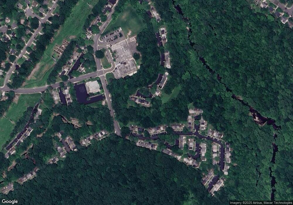
Map
Nearby Homes
- 8449 Thames St
- 8441 Thames St
- 5778 Rexford Ct Unit 5778B
- 5809 Royal Ridge Dr Unit I
- 8405 Thames St
- 5800 Torington Dr Unit 836
- 5823 Royal Ridge Dr Unit S
- 8519 Westover Ct Unit 763
- 5824 Rexford Dr Unit 731
- 5511 Callander Dr
- 5816 Torington Dr Unit 860
- 8530 Barrington Ct Unit 938
- 8504 Canterbury Dr
- 8344 Darlington St Unit 486
- 7918 Hatteras Ln
- 5105 Overlook Park
- 8330 Darlington St Unit 467
- 8437 Forrester Blvd
- 8336 Forrester Blvd Unit 448
- 5901B Prince George Dr Unit 341
- 5207 Lonsdale Dr
- 5209 Lonsdale Dr
- 5211 Lonsdale Dr
- 5203 Lonsdale Dr
- 5213 Lonsdale Dr
- 5201 Lonsdale Dr
- 5215 Lonsdale Dr
- 5217 Lonsdale Dr
- 5200 Lonsdale Dr
- 5202 Lonsdale Dr
- 5204 Lonsdale Dr
- 5206 Lonsdale Dr
- 5208 Lonsdale Dr
- 5210 Lonsdale Dr
- 8398 Uxbridge Ct
- 8396 Uxbridge Ct
- 8394 Uxbridge Ct
- 8400 Uxbridge Ct
- 8392 Uxbridge Ct
- 5212 Lonsdale Dr