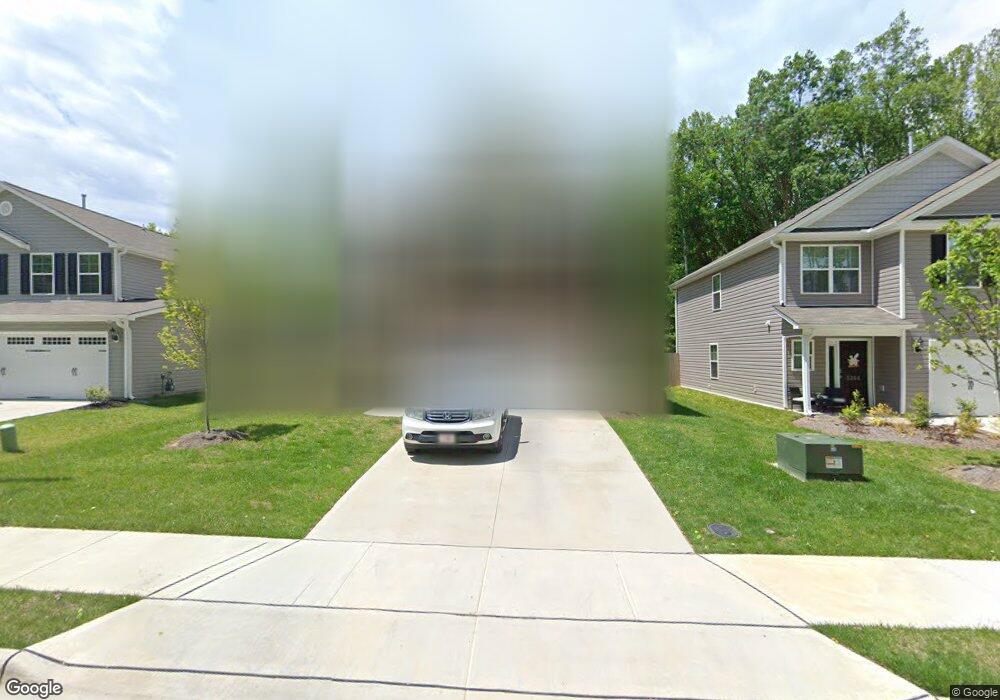
5206 Carol Ave Greensboro, NC 27406
Polecat Creek NeighborhoodEstimated Value: $375,000
2
Beds
1
Bath
1,092
Sq Ft
$343/Sq Ft
Est. Value
About This Home
This home is located at 5206 Carol Ave, Greensboro, NC 27406 and is currently priced at $375,000, approximately $343 per square foot. 5206 Carol Ave is a home located in Guilford County with nearby schools including Sumner Elementary School, Southern Guilford Middle, and Southern Guilford High School.
Ownership History
Date
Name
Owned For
Owner Type
Purchase Details
Closed on
Apr 11, 2022
Sold by
Keystone Group Inc
Bought by
Smith Kendrick D
Current Estimated Value
Home Financials for this Owner
Home Financials are based on the most recent Mortgage that was taken out on this home.
Original Mortgage
$349,181
Outstanding Balance
$329,569
Interest Rate
4.72%
Mortgage Type
New Conventional
Purchase Details
Closed on
Jan 2, 2020
Sold by
Keystone Group Inc
Bought by
City Of Greensboro
Purchase Details
Closed on
Sep 30, 2016
Bought by
Michael Mark E
Purchase Details
Closed on
Jul 18, 2006
Bought by
Michael Mark
Create a Home Valuation Report for This Property
The Home Valuation Report is an in-depth analysis detailing your home's value as well as a comparison with similar homes in the area
Home Values in the Area
Average Home Value in this Area
Purchase History
| Date | Buyer | Sale Price | Title Company |
|---|---|---|---|
| Smith Kendrick D | $367,500 | None Listed On Document | |
| City Of Greensboro | -- | None Available | |
| Michael Mark E | -- | -- | |
| Michael Mark | $69,500 | -- |
Source: Public Records
Mortgage History
| Date | Status | Borrower | Loan Amount |
|---|---|---|---|
| Open | Smith Kendrick D | $349,181 |
Source: Public Records
Tax History Compared to Growth
Tax History
| Year | Tax Paid | Tax Assessment Tax Assessment Total Assessment is a certain percentage of the fair market value that is determined by local assessors to be the total taxable value of land and additions on the property. | Land | Improvement |
|---|---|---|---|---|
| 2021 | $963 | $69,100 | $23,000 | $46,100 |
| 2020 | $921 | $69,100 | $23,000 | $46,100 |
| 2019 | $559 | $66,100 | $0 | $0 |
| 2018 | $559 | $66,100 | $0 | $0 |
| 2017 | $559 | $66,100 | $0 | $0 |
| 2016 | $570 | $66,400 | $0 | $0 |
| 2015 | $576 | $66,400 | $0 | $0 |
| 2014 | $583 | $66,400 | $0 | $0 |
Source: Public Records
Map
Nearby Homes
- Dayton Plan at Avondale
- Vermont Plan at Avondale
- Fairfield Plan at Avondale
- Irvine Plan at Avondale
- Greensboro Plan at Avondale
- Southport Plan at Avondale
- Freeport Plan at Avondale
- Jamestown Plan at Avondale
- Burlington Plan at Avondale
- Kendall Plan at Avondale
- Ellerbe Plan at Avondale
- 1918 Penley Trail
- 1916 Penley Trail
- 1914 Penley Trail
- 1912 Penley Trail
- 1908 Penley Trail
- 1902 Penley Trail
- 2132 Penley Trail
- 4404 Tyndale Ct
- 3408 Oliver Dr
- 5206 Carol Ave Unit 9
- 5204 Carol Ave Unit 10
- 5202 Carol Ave Unit 11
- 5210 Carol Ave
- 5200 Carol Ave Unit 12
- 5208 Carol Ave Unit 8
- 5520 Carol Ave Unit 36674221
- 5520 Carol Ave Unit 36666662
- 5520 Carol Ave Unit 36666497
- 5520 Carol Ave Unit 36666472
- 5520 Carol Ave Unit 36666445
- 5520 Carol Ave Unit 36666418
- 5520 Carol Ave Unit 36666392
- 5520 Carol Ave Unit 36666382
- 5520 Carol Ave Unit 36666354
- 5520 Carol Ave Unit 36666271
- 5520 Carol Ave Unit 36666250
- 5520 Carol Ave Unit 36666172
- 5520 Carol Ave Unit 36666157
- 5108 Carol Ave