521 Colony Trail Lanexa, VA 23089
Estimated Value: $620,568 - $757,000
5
Beds
4
Baths
3,482
Sq Ft
$197/Sq Ft
Est. Value
About This Home
This home is located at 521 Colony Trail, Lanexa, VA 23089 and is currently estimated at $685,392, approximately $196 per square foot. 521 Colony Trail is a home located in New Kent County with nearby schools including New Kent High School.
Ownership History
Date
Name
Owned For
Owner Type
Purchase Details
Closed on
May 29, 2020
Sold by
Ourada Stephanie L
Bought by
Cazares Stephanie L and Cazares Brandon A
Current Estimated Value
Purchase Details
Closed on
Mar 31, 2016
Sold by
Eroh Charles A and Eroh Tanda G
Bought by
Ourada Stephanie L
Home Financials for this Owner
Home Financials are based on the most recent Mortgage that was taken out on this home.
Original Mortgage
$393,000
Interest Rate
3.62%
Mortgage Type
VA
Purchase Details
Closed on
May 3, 2008
Sold by
Broder Jeffrey M
Bought by
Froh Charles A
Home Financials for this Owner
Home Financials are based on the most recent Mortgage that was taken out on this home.
Original Mortgage
$387,452
Interest Rate
5.99%
Mortgage Type
FHA
Create a Home Valuation Report for This Property
The Home Valuation Report is an in-depth analysis detailing your home's value as well as a comparison with similar homes in the area
Home Values in the Area
Average Home Value in this Area
Purchase History
| Date | Buyer | Sale Price | Title Company |
|---|---|---|---|
| Cazares Stephanie L | -- | None Available | |
| Ourada Stephanie L | $393,000 | Closin Edge Title Llc | |
| Froh Charles A | $394,600 | -- |
Source: Public Records
Mortgage History
| Date | Status | Borrower | Loan Amount |
|---|---|---|---|
| Previous Owner | Ourada Stephanie L | $393,000 | |
| Previous Owner | Froh Charles A | $387,452 |
Source: Public Records
Tax History Compared to Growth
Tax History
| Year | Tax Paid | Tax Assessment Tax Assessment Total Assessment is a certain percentage of the fair market value that is determined by local assessors to be the total taxable value of land and additions on the property. | Land | Improvement |
|---|---|---|---|---|
| 2025 | $3,213 | $535,500 | $80,200 | $455,300 |
| 2024 | $3,159 | $535,500 | $80,200 | $455,300 |
| 2023 | $2,851 | $425,500 | $103,700 | $321,800 |
| 2022 | $2,851 | $425,500 | $103,700 | $321,800 |
| 2021 | $3,141 | $397,600 | $116,800 | $280,800 |
| 2020 | $3,141 | $397,600 | $116,800 | $280,800 |
| 2019 | $3,269 | $398,700 | $114,900 | $283,800 |
| 2018 | $3,269 | $398,700 | $114,900 | $283,800 |
| 2017 | $3,197 | $385,200 | $114,900 | $270,300 |
| 2016 | $3,197 | $385,200 | $114,900 | $270,300 |
| 2015 | $3,096 | $368,600 | $85,700 | $282,900 |
| 2014 | -- | $368,600 | $85,700 | $282,900 |
Source: Public Records
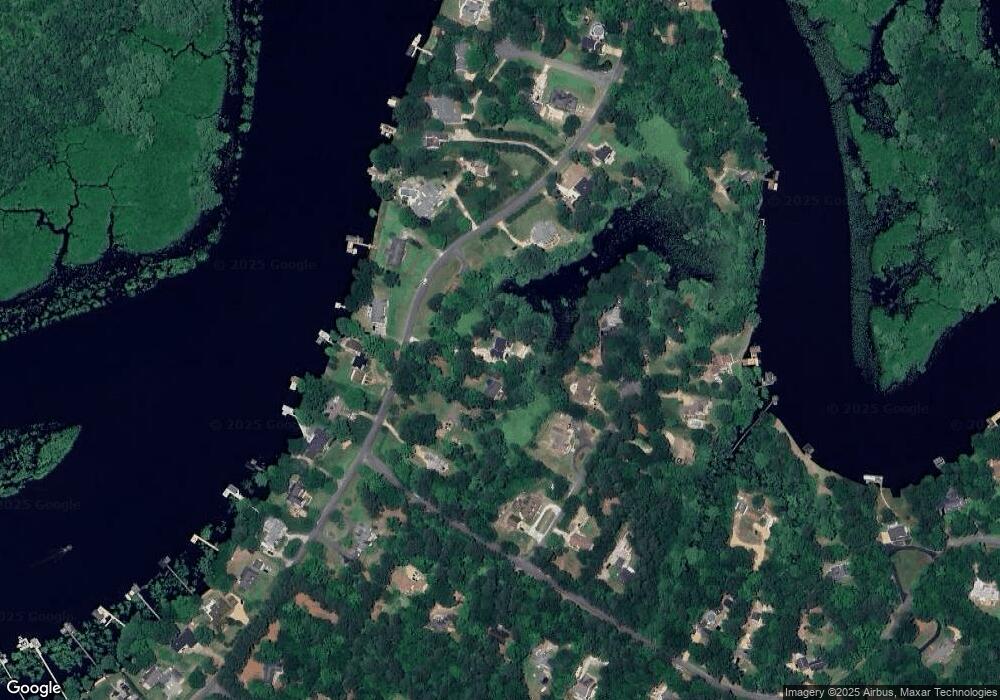
Map
Nearby Homes
- 501 Colony Trail
- S. Waterside Dr & Colony Trail
- 276 Colony Trail
- 300 Cove Ct
- 720 Arlington Island Rd
- 0 Cliffe Ct Unit 2501411
- 15507 Fort James Ct
- 13956 Beech Dr
- 13955 Beech Dr
- 6019 Tabiatha Ln
- 7266 Osprey Dr
- 13599 Beech Dr
- 3029 N Riverside Dr
- 7251 Canal St
- 15409 Pocahontas Trail Unit B
- 15401 Pocahontas Trail Unit A
- 8122 Diascund Rd
- 9231 Richmond Rd
- 8832 Barnes Rd
- 0 Pocahontas Trail
- 519 Colony Trail
- 601 Colony Trail
- 516 Lake Pointe Trail
- 516 Lake Pointe Tr
- 509 Colony Trail
- 522 Lake Pointe Trail
- 510 Lake Pointe Trail
- 621 Colony Trail
- 219 Lake Pointe Trail
- 520 Colony Trail
- 510 Colony Trail
- 600 Colony Trail
- 631 Colony Trail
- 610 Colony Trail
- 504 Lake Pointe Trail
- 620 Colony Trail
- 520 Lake Pointe Trail
- 126 Colony Trail
- 500 Colony Trail
- 64 Colony Trail